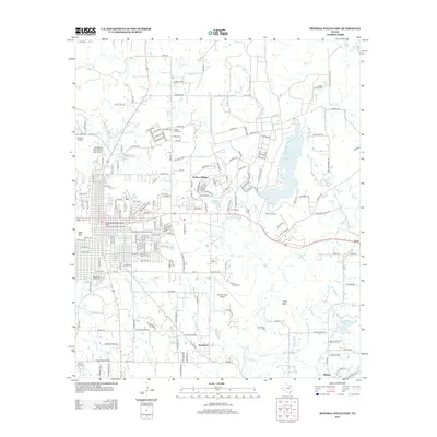
2012 Map of Mineral Wells East
USGS Topo · Published 2012About this map
Wolters Village and the eastern outskirts of the city of Mineral Wells anchor this landscape in the early 21st century. The map highlights the historical infrastructure of the region, featuring the Weatherford Mineral Wells and Northwestern Railroad Depot and a network of aviation facilities including the Mineral Wells Airport and Flying U Airport. The terrain is defined by distinct elevations such as West Mtn, E Mtn, and Duke Mtn, while recreational and youth camps like Camp Dallas and Kamp Koinonia sit near the shores of Lake Mineral Wells. For family historians, several burial grounds are documented, including Staggs Prairie Cem, Woodland Park Cem, and Ballew Springs Cem. The southern reach of the sheet transitions into the community of Millsap, where Millsap Lake and Old Millsap Cem mark the local geography.
Find a feature on this map
98 named features on this map. Tap any name to fly to it.
Don’t see what you’re looking for? This feature index may not catch every label — zoom into the map to look around manually.
Map Details
Editions of this 2012 Mineral Wells East Map
This is the sole edition of this map. No revisions or reprints were ever made.
Other maps of this area

1891 · Weatherford
USGS Topo · 1:125,000

1891 · Palo Pinto
USGS Topo · 1:125,000

1893 · Weatherford
USGS Topo · 1:125,000

1918 · Palo Pinto
USGS Topo · 1:125,000

1924 · Palo Pinto 1-b
USGS Topo · 1:48,000

1925 · Palo Pinto 4-b
USGS Topo · 1:48,000

1927 · Mineral Wells
USGS Topo · 1:62,500

1931 · Dennis
USGS Topo · 1:62,500

1931 · Santo
USGS Topo · 1:62,500

1954 · Dallas
USGS Topo · 1:250,000