Old Maps of Magnolia, Texas for Metal Detecting
Plan your next treasure hunt with 16 historic maps of Magnolia. Find old homesites, ghost towns, trails, and gathering spots that may be lost to time — perfect for identifying promising metal detecting locations.
- Locate forgotten sites: Uncover places like long-lost settlements, abandoned rail lines, or gathering spots.
- Plan better hunts: Use map overlays combined with LiDAR or satellite views to narrow in on historically rich areas.
- Made for detectorists: Thousands of hobbyists use these maps to discover relics, coins, and hidden history.
Use these historic maps to boost your research and find new opportunities beneath the surface of Magnolia.
Magnolia, TX maps
(16)- 1954 Map of Beaumont, 1964 Print
 1954 Beaumont1964 Print · USGSSoutheast Texas in the mid-fifties reveals a landscape of massive national forests, emerging reservoirs, and a booming oil economy. Genealogists and researchers can trace rural settlements like Dallardsville and Village Mills or locate early drilling sites at Sour Lake Oil Field.3 unique versions available
 - 1957 Map of Beaumont
 1957 Beaumont1957 Print · USGSSoutheast Texas in the mid-fifties is defined by the timber-rich lands between the Trinity River and Beaumont. Trace the history of the Alabama and Coushatti Indian Reservation or locate early campus sites like Prairie View College.
 - 1962 Map of Magnolia East, 1964 Print
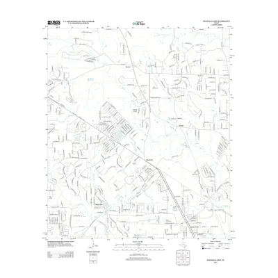
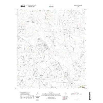
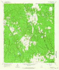 1962 Magnolia East1964 Print · USGSSoutheast Texas at the start of the sixties reveals a landscape shaped by rail lines and the growing oil industry. Researchers can trace family roots at Decker Prairie Cem or locate rural landmarks like Mt Zion Ch and the Cycling Plant.2 unique versions available
 - 1962 Map of Magnolia West, 1964 Print
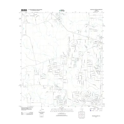
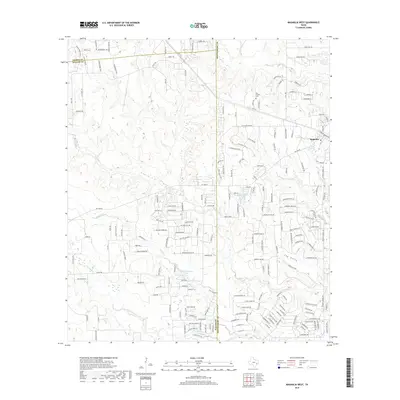
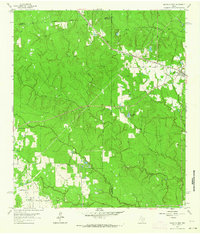 1962 Magnolia West1964 Print · USGSSoutheast Texas in the early sixties remains a landscape of timber and creek bottoms where county lines meet. Genealogists and historians can trace family locations near the Old Sanders Cem, the community of Fetzer, and the Lookout Tower Magnolia.3 unique versions available
 - 1984 Map of Beaumont
 1984 Beaumont1984 Print · USGSSoutheast Texas in the late seventies and early eighties shows a landscape of expanding reservoirs and deep timber industry. Researchers can trace the development of the Sam Houston National Forest or locate regional landmarks like Grabbs Prairie and the Wynne State Prison Farm.3 unique versions available
 - 1985 Map of Conroe
 1985 Conroe1985 Print · USGSSoutheast Texas in the mid-eighties shows a landscape of timberlands and new lakeside developments. Researchers can trace the legacy of rail lines like the Southern Pacific RR or locate rural communities such as Plantersville, Yarboro, and Hufsmith.2 unique versions available
 - 2010 Map of Magnolia East, 2010 Print
 2010 Magnolia East2010 Print · USGSCovers Magnolia, including Tomball, Stagecoach, and other nearby areas
 - 2010 Map of Magnolia West, 2010 Print
 2010 Magnolia West2010 Print · USGSCovers Magnolia, including Fetzer, Montgomery County, and other nearby areas
 - 2013 Map of Magnolia West, 2013 Print
 2013 Magnolia West2013 Print · USGSCovers Magnolia, including Fetzer, Montgomery County, and other nearby areas
 - 2013 Map of Magnolia East, 2013 Print
 2013 Magnolia East2013 Print · USGSCovers Magnolia, including Tomball, Stagecoach, and other nearby areas
 - 2016 Map of Magnolia East, 2016 Print
 2016 Magnolia East2016 Print · USGSCovers Magnolia, including Tomball, Stagecoach, and other nearby areas
 - 2016 Map of Magnolia West, 2016 Print
 2016 Magnolia West2016 Print · USGSCovers Magnolia, including Fetzer, Montgomery County, and other nearby areas
 - 2019 Map of Magnolia East, 2019 Print
 2019 Magnolia East2019 Print · USGSCovers Magnolia, including Tomball, Stagecoach, and other nearby areas
 - 2019 Map of Magnolia West, 2019 Print
 2019 Magnolia West2019 Print · USGSCovers Magnolia, including Fetzer, Montgomery County, and other nearby areas
 - 2022 Map of Magnolia East, 2022 Print
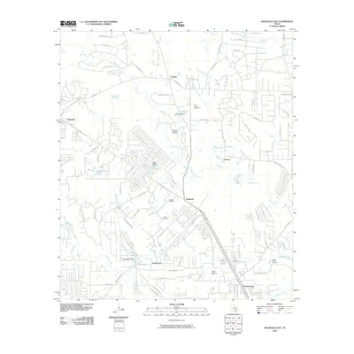
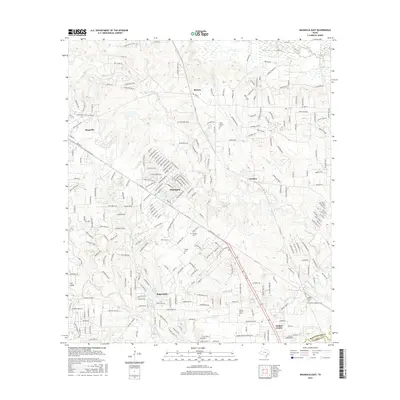
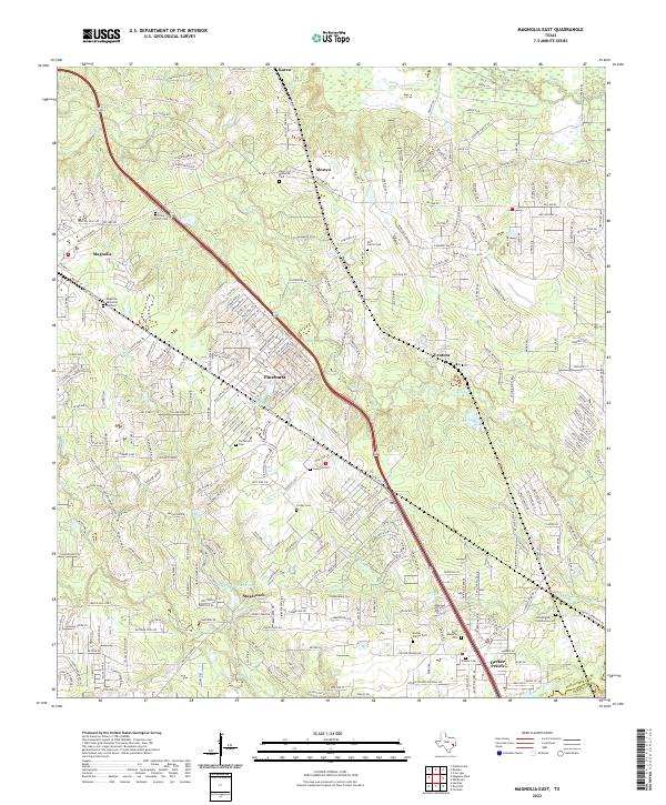 2022 Magnolia East2022 Print · USGSSoutheast Texas at the start of the 2020s shows a landscape of growing communities and established family histories. Genealogists can trace local lineages through numerous sites like Cartwright Cem, Goodson Cem, and the Weaver Cem near Decker Prairie.
 - 2023 Map of Magnolia West, 2023 Print
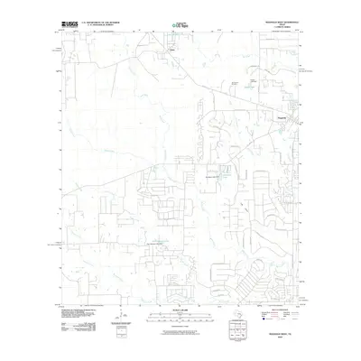
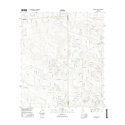
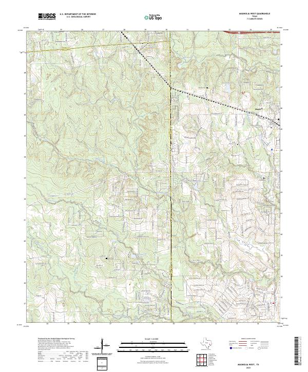 2023 Magnolia West2023 Print · USGSMagnolia and the surrounding tri-county area are shown in this modern survey as the region undergoes rapid suburban transformation. Genealogists can locate numerous small family burial grounds like Arnold Cem and Green Cem while tracing the winding paths of Walnut Creek.
End of results
Showing maps 1-16 of 16
Top cities near Magnolia
- Houston historical maps
- The Woodlands historical maps
- Conroe historical maps
- Tomball historical maps
- Prairie View historical maps
- Waller historical maps
See more
Frequently asked questions
- What are the different types of historical maps available for Magnolia?
- What is the oldest map of Magnolia?
- Where can I purchase historical maps of Magnolia for my home or office?
- Where can I download high-res historical maps of Magnolia?
- Are there historical topographic maps available for Magnolia?
- Is there historical aerial imagery available for Magnolia?
- Where are historical maps of Magnolia sourced from?