2000s (21st Century) Maps of Nacogdoches County, Texas
Explore 132 historic maps of Nacogdoches County from the 2000s (21st Century). These maps offer a rare glimpse into what life looked like during the 2000s — showing old roads, neighborhoods, homes, and landmarks that have changed or disappeared over time.
Whether you're researching your family's past, planning a metal detecting trip, or studying how Nacogdoches County's landscape evolved across the 2000s, these high-resolution maps are a powerful tool for exploring the history of this region.
- Focus on a specific era: All maps on this page are from the 2000s, giving you a focused view of this time period.
- See what’s changed: Compare century-old streets, trails, and buildings to today's modern landscape using overlays and satellite layers.
- Research with precision: Use these maps for genealogy, historical research, land use analysis, or educational projects.
- View, download, or print: Maps are fully viewable online in high resolution, and can be downloaded or printed for your own records.
Start exploring Nacogdoches County's history through authentic maps from the 2000s. This is your window into the past.
Nacogdoches County, TX maps
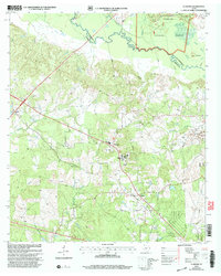
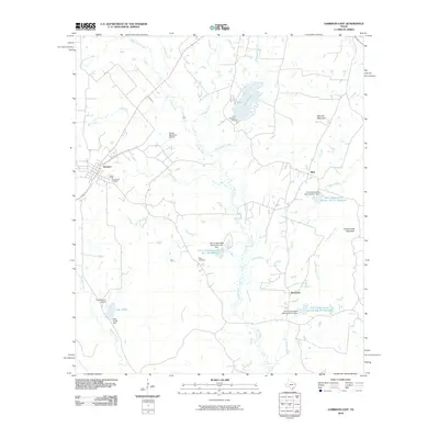
(132)- 2003 Map of Etoile South, 2004 Print
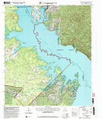 2003 Etoile South2004 Print · USGSThe Angelina River valley is transformed into a massive waterway in this early 2000s survey of the Piney Woods. Genealogists can locate several family landmarks like Patterson Cem and Shofner Cem near the shores of the Sam Rayburn Reservoir.
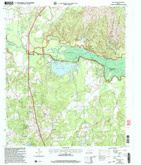
 - 2003 Map of Cassells-Boykin Park, 2004 Print
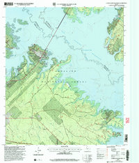 2003 Cassells-Boykin Park2004 Print · USGSAngeline County and the Sam Rayburn Reservoir at the start of the new millennium show a landscape shaped by water and timber. Researchers can trace family sites at Boykin Cem or explore the wooded reaches of Upland Island Wilderness.
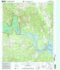
 - 2003 Map of Broaddus, 2004 Print
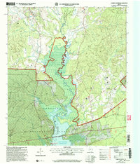
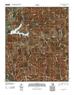
 2003 Broaddus2004 Print · USGSSan Augustine County's timberlands and the expansive Sam Rayburn Reservoir define this East Texas landscape at the start of the millennium. Researchers can trace historic family burial sites like Lowery Cem and Harvey Cem or locate the community center at Broaddus.
 - 2003 Map of Chireno South, 2004 Print
 2003 Chireno South2004 Print · USGSSan Augustine and Nacogdoches counties are captured here at the turn of the millennium, where the Attoyac River valley meets the reservoir. Researchers can trace rural church locations like Antioch Ch and St John Ch or locate the Woolam Cem near the Angelina Forest border.
 - 2003 Map of Clawson, 2004 Print
 2003 Clawson2004 Print · USGSEast Texas timberlands and rural communities are captured here just after the turn of the millennium. Researchers can locate established family landmarks and rural hubs such as Pollok Cem, the community of Central, and the Angelina River bottoms.
 - 2003 Map of Redland, 2004 Print
 2003 Redland2004 Print · USGSThe East Texas piney woods are captured here in the early 2000s, showing the intersection of heavy industry and national forest land. Genealogists can trace family landmarks like Walker Cem, Davisville Ch, and the site of St James School.
 - 2003 Map of Platt, 2004 Print
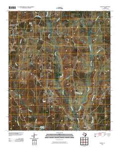
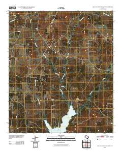
 2003 Platt2004 Print · USGSEast Texas timberlands and river bottoms meet the rising waters of the Sam Rayburn Reservoir in the early 2000s. Genealogists and local historians can trace the rural landscape around Platt and locate community landmarks like Saints Rest Ch and Jacob Chapel Ch.
 - 2010 Map of Nacogdoches North, 2010 Print
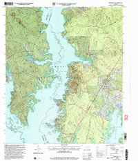
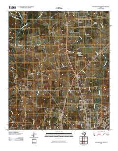 2010 Nacogdoches North2010 Print · USGSCovers Nacogdoches County, including Nacogdoches, Redfield, and other nearby areas
 - 2010 Map of Martinsville, 2010 Print
 2010 Martinsville2010 Print · USGSCovers Nacogdoches County, including Cedar Point, Waterman, and other nearby areas
 - 2010 Map of Melrose, 2010 Print
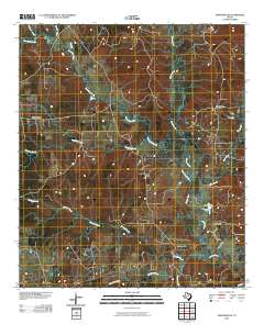
 2010 Melrose2010 Print · USGSCovers Nacogdoches County, including Swift, Melrose, and other nearby areas
 - 2010 Map of Mount Herman, 2010 Print
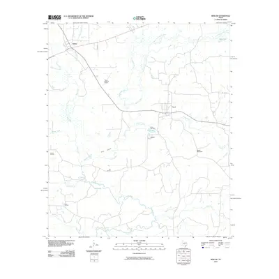
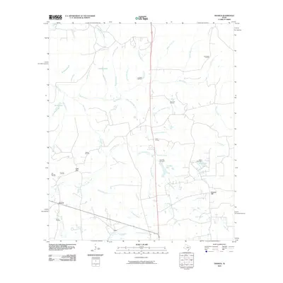
 2010 Mount Herman2010 Print · USGSCovers Nacogdoches County, including Mount Herman, Aiken, and other nearby areas
 - 2010 Map of Woden, 2010 Print
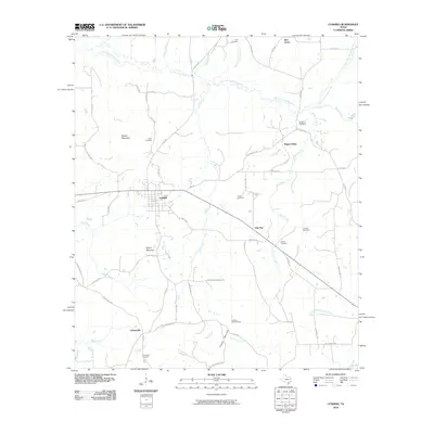
 2010 Woden2010 Print · USGSCovers Nacogdoches County, including Nacogdoches, Plainview, and other nearby areas
 - 2010 Map of Garrison East, 2010 Print
 2010 Garrison East2010 Print · USGSCovers Nacogdoches County, including Garrison, Silas, and other nearby areas
 - 2010 Map of Appleby, 2010 Print
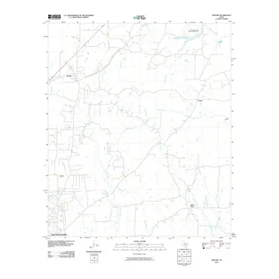 2010 Appleby2010 Print · USGSCovers Nacogdoches County, including Nacogdoches, Appleby, and other nearby areas
 - 2010 Map of Durst Lakes, 2010 Print
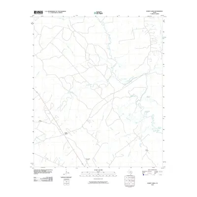 2010 Durst Lakes2010 Print · USGSCovers Nacogdoches County, including Wells, Cross Roads, and other nearby areas
 - 2010 Map of Nacogdoches South, 2010 Print
 2010 Nacogdoches South2010 Print · USGSCovers Nacogdoches County, including Nacogdoches, Hayward Junction, and other nearby areas
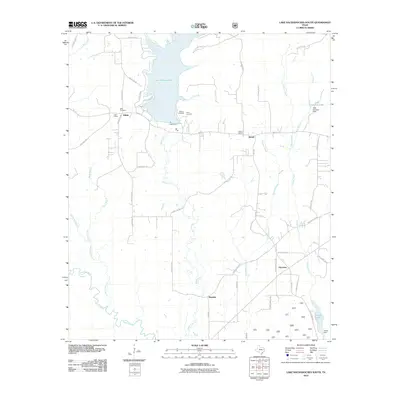
 - 2010 Map of Lake Nacogdoches North, 2010 Print
 2010 Lake Nacogdoches North2010 Print · USGSCovers Nacogdoches County, including Nat, Winter Hill, and other nearby areas
 - 2010 Map of Reklaw, 2010 Print
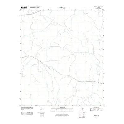
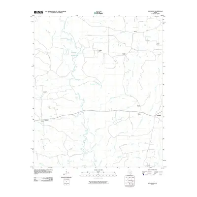
 2010 Reklaw2010 Print · USGSCovers Nacogdoches County, including Dextra, Reklaw, and other nearby areas
 - 2010 Map of Chireno North, 2010 Print
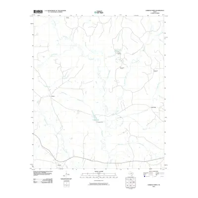 2010 Chireno North2010 Print · USGSCovers Nacogdoches County, including Chireno, Attoyac, and other nearby areas
 - 2010 Map of Douglass, 2010 Print
 2010 Douglass2010 Print · USGSCovers Nacogdoches County, including County Line, Linwood, and other nearby areas
 - 2010 Map of Cushing, 2010 Print
 2010 Cushing2010 Print · USGSCovers Nacogdoches County, including Cushing, Looneyville, and other nearby areas
 - 2010 Map of Trawick, 2010 Print
 2010 Trawick2010 Print · USGSCovers Nacogdoches County, including Caro, Trawick, and other nearby areas
 - 2010 Map of Garrison West, 2010 Print
 2010 Garrison West2010 Print · USGSCovers Nacogdoches County, including Garrison, Fitze, and other nearby areas
 - 2010 Map of Broaddus, 2010 Print
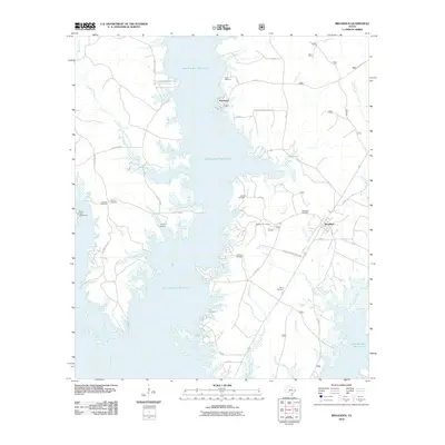 2010 Broaddus2010 Print · USGSCovers Nacogdoches County, including Broaddus, Townsend, and other nearby areas
 - 2010 Map of Lake Nacogdoches South, 2010 Print
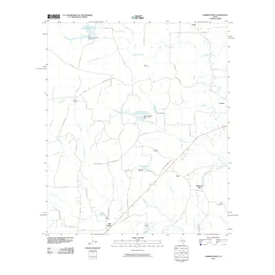
 2010 Lake Nacogdoches South2010 Print · USGSCovers Nacogdoches County, including Harmony, Bonaldo, and other nearby areas
Showing maps 1-25 of 132
Top cities of Nacogdoches County
- Nacogdoches historical maps
- Garrison historical maps
- Cushing historical maps
- Appleby historical maps
- Chireno historical maps
Frequently asked questions
- What are the different types of historical maps available for Nacogdoches County?
- What is the oldest map of Nacogdoches County?
- Where can I purchase historical maps of Nacogdoches County for my home or office?
- Where can I download high-res historical maps of Nacogdoches County?
- Are there historical topographic maps available for Nacogdoches County?
- Is there historical aerial imagery available for Nacogdoches County?
- Where are historical maps of Nacogdoches County sourced from?