Old Maps of Eureka, Texas for Academic Research
Study the evolution of Eureka with 24 high-resolution historic maps. Whether you're teaching, researching, or modeling changes in land use, these maps provide essential visual documentation of urban, environmental, and geographic change.
- Analyze long-term change: Track patterns in development, transportation, and natural features.
- Ideal for environmental or urban studies: Support academic projects with primary historical map data.
- Use in the classroom or lab: Educators and researchers rely on these maps to bring historical context to life.
These maps are a powerful tool for teaching, research, and visualizing how Eureka has changed over the decades.
Eureka, TX maps
(24)- 1954 Map of Dallas, 1963 Print
 1954 Dallas1963 Print · USGSNorth Texas in the mid-fifties and early sixties reveals a landscape of rapid urban growth and water management. Genealogists and historians can trace the evolution of the metroplex through landmarks like Hensley Field, Boles Orphan Home, and the Texas & Pacific RR.4 unique versions available
 - 1954 Map of Waco, 1964 Print
 1954 Waco1964 Print · USGSCentral Texas during the mid-fifties shows a landscape defined by the expansion of Fort Hood Military Reservation and the Brazos river system. Trace the rail lines and early airfields like James Connally Air Force Base and settlements like Temple or McGregor.2 unique versions available
 - 1955 Map of Waco
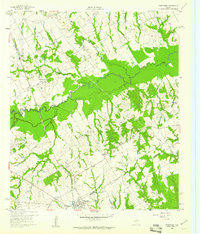
 1955 Waco1955 Print · USGSCentral Texas at the peak of the Cold War reveals a landscape defined by military expansion and major water projects. Researchers can trace the footprints of Fort Hood, the waters of Lake Waco, and regional hubs like Temple or Mexia.
 - 1958 Map of Dallas
 1958 Dallas1958 Print · USGSNorth Texas in the late fifties shows the dramatic expansion of the Metroplex as it absorbs surrounding farm towns. Genealogists and historians can trace old rail lines like the Missouri-Kansas-Texas and locate early lakefront developments at Eagle Mountain Lake and Lake Worth Village.
 - 1959 Map of Powell, 1961 Print
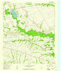 1959 Powell1961 Print · USGSNavarro County appears in the late fifties as a landscape of oil derricks and rural congregations during a period of steady industrial extraction. Genealogists and researchers can trace the locations of Providence Cem, Woods Chapel, and the Corsicana Oil Field.2 unique versions available
 - 1960 Map of Streetman, 1961 Print
 1960 Streetman1961 Print · USGSThe Navarro and Freestone county line comes alive in the early sixties, showing a landscape of rail-connected farming communities. Genealogists can locate family landmarks like Birdston Cem, Johnson Cem, and rural churches such as Friendship Ch.4 unique versions available
 - 1960 Map of Goodlow Park, 1961 Print
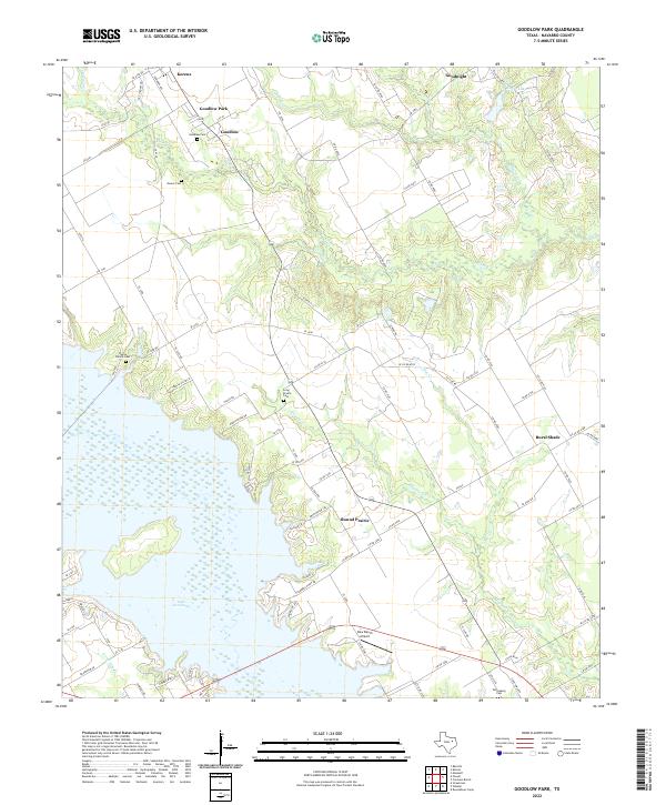
 1960 Goodlow Park1961 Print · USGSNavarro County life in the early sixties centers on small farming communities and the growing oil industry. Genealogists can locate family landmarks like Alligator Ch, Petersburg Cem, and the settlements of Rural Shade and Goodnight.3 unique versions available
 - 1985 Map of Mexia
 1985 Mexia1985 Print · USGSLimestone and Freestone counties are shown in the mid-eighties as centers of rail-linked commerce and growing reservoir systems. Researchers can trace the grounds of Mexia State School, the campus of Westminster College, and historic Fort Parker.2 unique versions available
 - 1985 Map of Corsicana, 1986 Print
 1985 Corsicana1986 Print · USGSNorth Central Texas was defined by its expanding water reservoirs and deep-rooted rail corridors in the mid-eighties. Researchers can trace the heritage of local communities through landmarks like Southwestern Bible Institute, Navarro College, and rural markers such as Derrs Chapel.2 unique versions available
 - 2010 Map of Streetman, 2010 Print
 2010 Streetman2010 Print · USGSCovers Eureka, including Streetman, Navarro, and other nearby areas
 - 2010 Map of Powell, 2010 Print
 2010 Powell2010 Print · USGSCovers Eureka, including Mildred, Navarro, and other nearby areas
 - 2010 Map of Goodlow Park, 2010 Print
 2010 Goodlow Park2010 Print · USGSCovers Eureka, including Kerens, Rural Shade, and other nearby areas
 - 2012 Map of Goodlow Park, 2012 Print
 2012 Goodlow Park2012 Print · USGSCovers Eureka, including Kerens, Rural Shade, and other nearby areas
 - 2012 Map of Powell, 2012 Print
 2012 Powell2012 Print · USGSCovers Eureka, including Mildred, Navarro, and other nearby areas
 - 2013 Map of Streetman, 2013 Print
 2013 Streetman2013 Print · USGSCovers Eureka, including Streetman, Navarro, and other nearby areas
 - 2016 Map of Streetman, 2016 Print
 2016 Streetman2016 Print · USGSCovers Eureka, including Streetman, Navarro, and other nearby areas
 - 2016 Map of Goodlow Park, 2016 Print
 2016 Goodlow Park2016 Print · USGSCovers Eureka, including Kerens, Rural Shade, and other nearby areas
 - 2016 Map of Powell, 2016 Print
 2016 Powell2016 Print · USGSCovers Eureka, including Mildred, Navarro, and other nearby areas
 - 2019 Map of Powell, 2019 Print
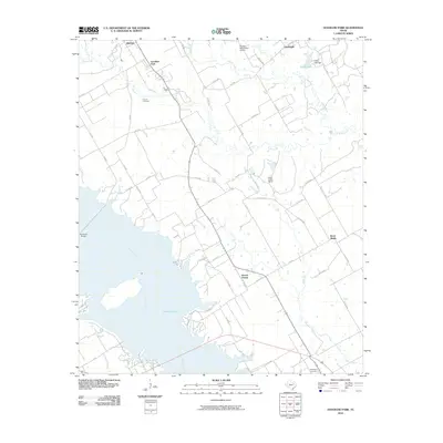
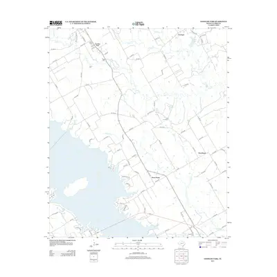
 2019 Powell2019 Print · USGSCovers Eureka, including Mildred, Navarro, and other nearby areas
 - 2019 Map of Goodlow Park, 2019 Print
 2019 Goodlow Park2019 Print · USGSCovers Eureka, including Kerens, Rural Shade, and other nearby areas
 - 2019 Map of Streetman, 2019 Print
 2019 Streetman2019 Print · USGSCovers Eureka, including Streetman, Navarro, and other nearby areas
 - 2022 Map of Goodlow Park, 2022 Print
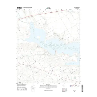
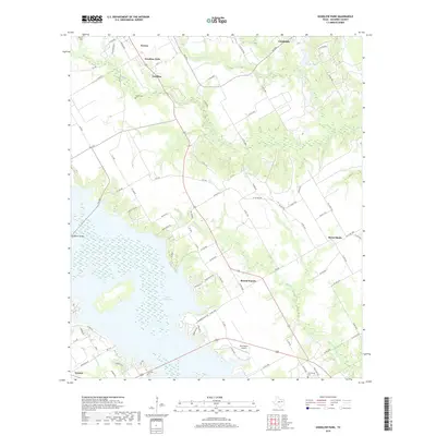
 2022 Goodlow Park2022 Print · USGSNavarro County's lakeside and rural landscapes are captured here in the early twenty-first century. Researchers can trace family history at Goodlow Cem and Petersburg Cem or locate settlements like Rural Shade and Round Prairie.
 - 2022 Map of Powell, 2022 Print
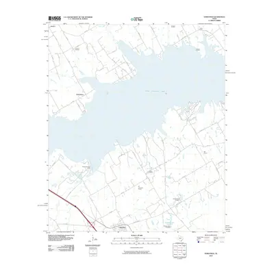
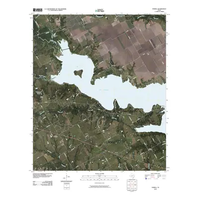
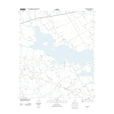
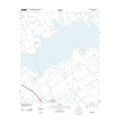
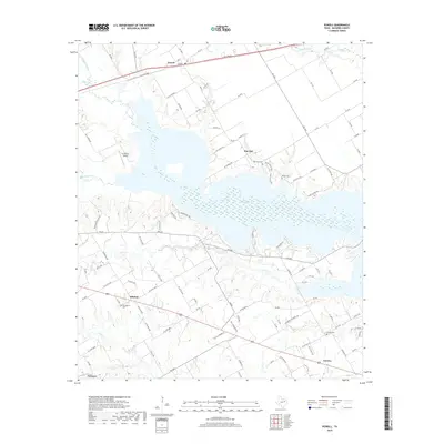
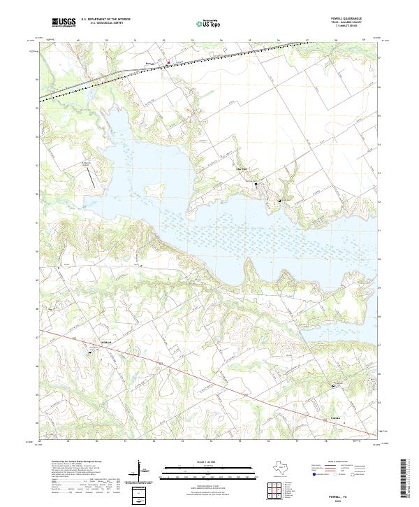 2022 Powell2022 Print · USGSNavarro County life centers on the expansive shoreline of Lake Corsicana in this recent survey of the Texas plains. Genealogists and local historians can trace family locations near Powell, Mildred, and Eureka, or locate rural burial grounds like Eureka Cem and Woods Cem.
 - 2022 Map of Streetman, 2022 Print
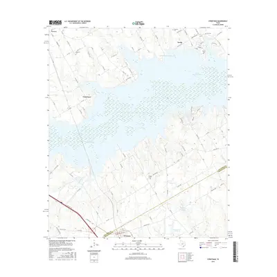
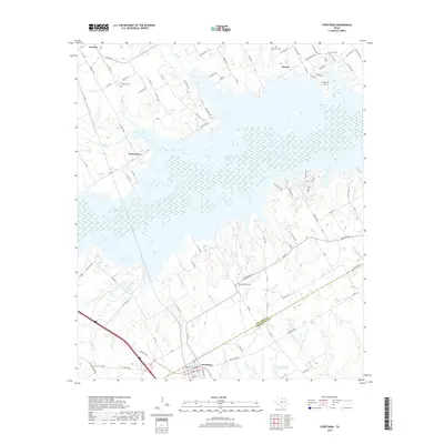
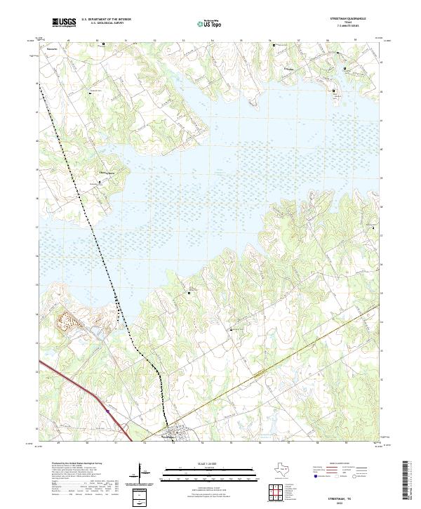 2022 Streetman2022 Print · USGSThe crossroads at the Navarro and Freestone county line appear here in the early 2020s, dominated by the waters of Texas Industries Lake. Genealogists can trace numerous local burial grounds including Cheneyboro Cem, Birdston Valley Cem, and the Dunn - Johnston Cem.
End of results
Showing maps 1-24 of 24
Top cities near Eureka
- Corsicana historical maps
- Tool historical maps
- Malakoff historical maps
- Kerens historical maps
- Trinidad historical maps
- Wortham historical maps
See more
Frequently asked questions
- What are the different types of historical maps available for Eureka?
- What is the oldest map of Eureka?
- Where can I purchase historical maps of Eureka for my home or office?
- Where can I download high-res historical maps of Eureka?
- Are there historical topographic maps available for Eureka?
- Is there historical aerial imagery available for Eureka?
- Where are historical maps of Eureka sourced from?