2020s Maps of Oldham County, Texas
Explore 39 historic maps of Oldham County from the 2020s. These maps offer a rare glimpse into what life looked like during the 2020s — showing old roads, neighborhoods, homes, and landmarks that have changed or disappeared over time.
Whether you're researching your family's past, planning a metal detecting trip, or studying how Oldham County's landscape evolved across the 2020s, these high-resolution maps are a powerful tool for exploring the history of this region.
- Focus on a specific era: All maps on this page are from the 2020s, giving you a focused view of this time period.
- See what’s changed: Compare century-old streets, trails, and buildings to today's modern landscape using overlays and satellite layers.
- Research with precision: Use these maps for genealogy, historical research, land use analysis, or educational projects.
- View, download, or print: Maps are fully viewable online in high resolution, and can be downloaded or printed for your own records.
Start exploring Oldham County's history through authentic maps from the 2020s. This is your window into the past.
Oldham County, TX maps
(39)- 2020 Map of Nara Visa, 2020 Print
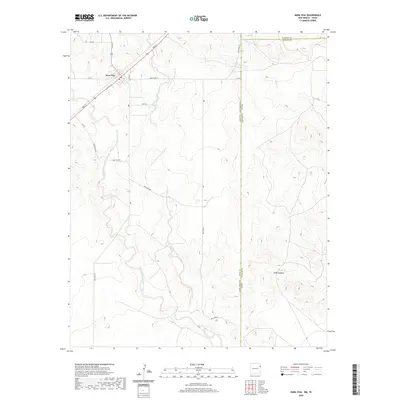 2020 Nara Visa2020 Print · USGSCovers Oldham County, including Nara Visa, Hartley County, and other nearby areas
 - 2020 Map of Martin Draw, 2020 Print
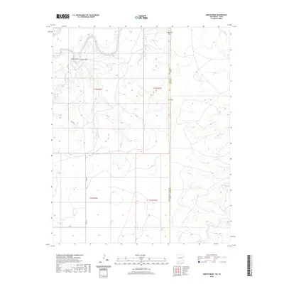 2020 Martin Draw2020 Print · USGSCovers Oldham County, including Rain Place, Quay County, and other nearby areas
 - 2020 Map of Glenrio, 2020 Print
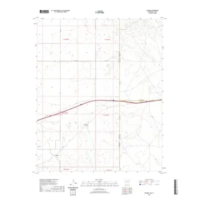 2020 Glenrio2020 Print · USGSCovers Oldham County, including Glenrio, Deaf Smith County, and other nearby areas
 - 2022 Map of Sanchez Springs, 2022 Print
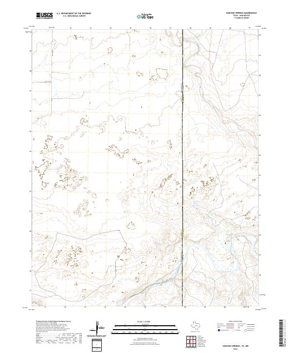 2022 Sanchez Springs2022 Print · USGSThe High Plains borderlands of the Texas Panhandle and eastern New Mexico are captured here in the early twenty-first century. Researchers can trace the drainage of the Nara Visa Arroyo toward the Canadian River or locate ranching landmarks like Sanchez Spring.
 - 2022 Map of Boys Ranch East, 2022 Print
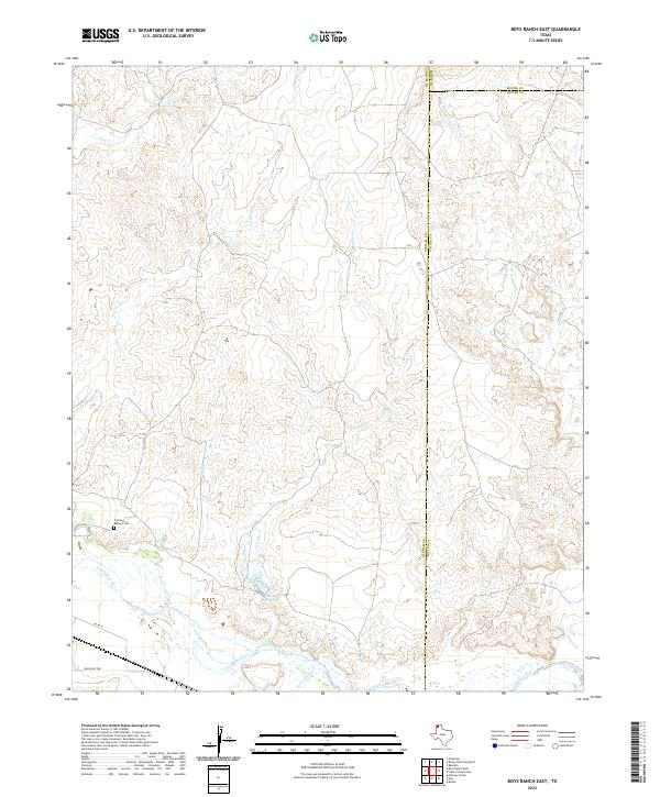 2022 Boys Ranch East2022 Print · USGSThe Texas Panhandle at the junction of Oldham, Moore, and Potter counties is captured here in recent years. Researchers can find the Casimiro Romero Cem and trace the complex drainages of Tascosa Cr and the Canadian River.
 - 2022 Map of Proctor Ranch, 2022 Print
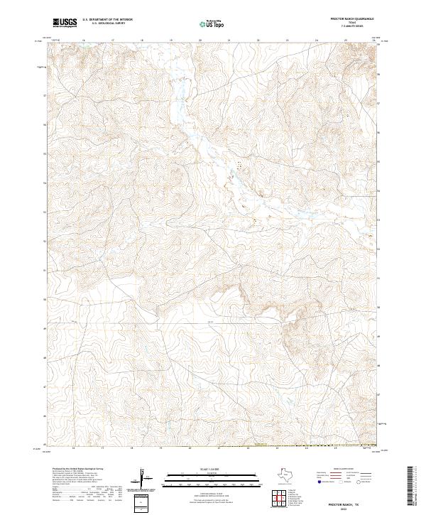 2022 Proctor Ranch2022 Print · USGSHartley County at the start of the 2020s shows a landscape defined by the drainage of the Texas Panhandle. Researchers can trace the winding paths of Punta de Agua Cr and Sand Cr as they cut through the ranchlands near FM 767.
 - 2022 Map of Ady, 2022 Print
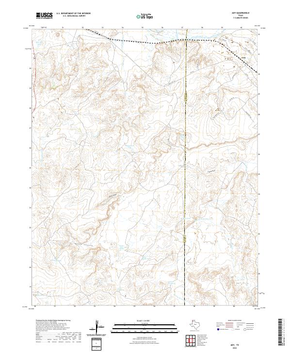 2022 Ady2022 Print · USGSCattle ranching and canyonlands define this Oldham County corner during the early twenty-first century. Researchers can trace the rugged Panhandle terrain through named landmarks like Rock Canyon, the settlement at Ady, and vital water sources such as Lost Tubs Springs.
 - 2022 Map of Wildorado, 2022 Print
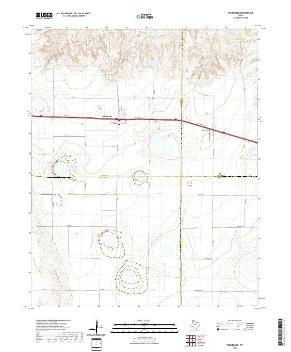 2022 Wildorado2022 Print · USGSWildorado is captured here at a modern crossroad where four Texas counties meet along the Interstate 40 corridor. Local historians can trace the town's layout near the Post Office or locate regional landmarks like the J & H Airport and Ida Lake.
 - 2022 Map of Moser Ranch, 2022 Print
 2022 Moser Ranch2022 Print · USGSThe Texas Panhandle's ranching country is mapped here in the early twenty-first century as it straddles the Oldham Co and Deaf Smith Co border. Researchers can trace the path of Mujares Cr and the access provided by the I- 40 Svc Rd.
 - 2022 Map of Boise, 2022 Print
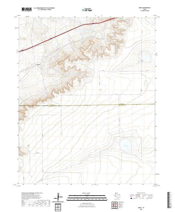 2022 Boise2022 Print · USGSThe Texas Panhandle high plains meet the rugged draws of the Mujares Creek breaks in this recent survey. Local researchers can trace the county line between Oldham Co and Deaf Smith Co while locating landmarks like Boise and Hay Lake.
 - 2022 Map of Jay Taylor Ranch, 2022 Print
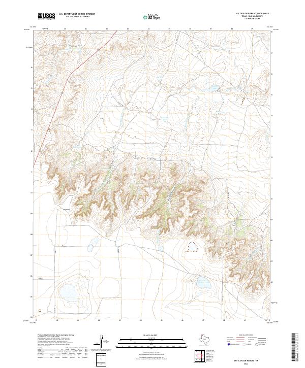 2022 Jay Taylor Ranch2022 Print · USGSRanching life in Oldham County is preserved in this recent survey of the high Texas panhandle. Researchers can trace the drainage of Mitchell Canyon and locate vital water sources like Division Lake and Horseshoe Tank.
 - 2022 Map of Rotten Hill, 2022 Print
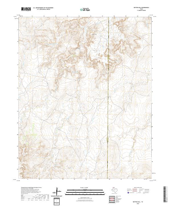 2022 Rotten Hill2022 Print · USGSOldham and Potter Counties are captured here in the early 2020s, showing a landscape defined by the deep breaks and creek drainages of the Panhandle. Researchers can trace the rugged topography of Five Fingers and the paths of Wildorado Cr and Daniels Cr.
 - 2022 Map of Knoblaw, 2022 Print
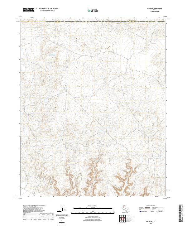 2022 Knoblaw2022 Print · USGSThe High Plains borderlands of Hartley and Oldham counties are captured here in the early twenty-first century. Researchers can trace the essential water-security network of the Panhandle through sites like Chisum Spring, Lake Windmill, and Red Tank.
 - 2022 Map of Adrian, 2022 Print
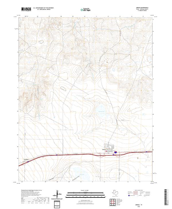 2022 Adrian2022 Print · USGSAdrian and the surrounding Oldham County ranchlands are documented here in the early twenty-first century as the landscape balances modern infrastructure with traditional panhandle geography. Local historians can trace the paths of Slaughterhouse Draw and Pigpen Draw or locate landmarks like Lost Mule Spring and Rock Lake.
 - 2022 Map of Bivins Channing Ranch, 2022 Print
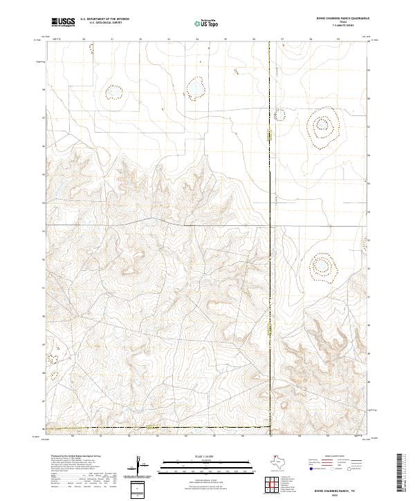 2022 Bivins Channing Ranch2022 Print · USGSThe northern Panhandle ranchlands are surveyed here in the early 2020s, showing the intersection of three counties. You can trace the rugged drainage of Rica Cr and Tascosa Cr or follow the straight path of S Co Line Rd across the high plains.
 - 2022 Map of Signal Spring, 2022 Print
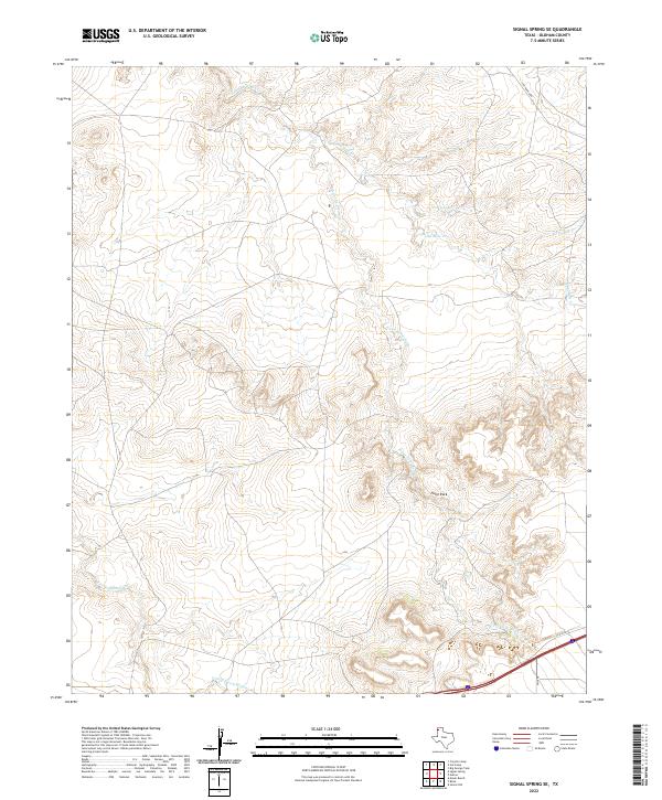
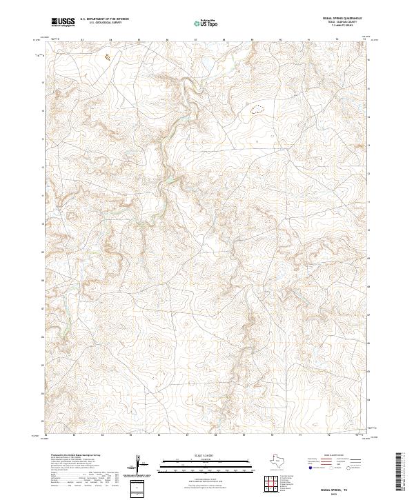 2022 Signal Spring2022 Print · USGSTexas Panhandle ranching country comes into focus in this recent survey of Oldham County. Researchers can trace the winding paths of Trujillo Cr and Mujeres Cr or locate the historic site of Signal Spring.
 - 2022 Map of Vega North, 2022 Print
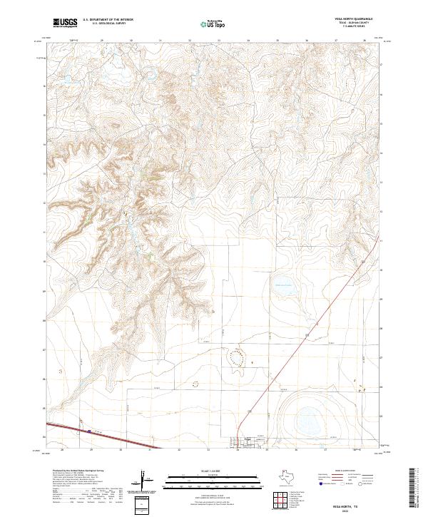 2022 Vega North2022 Print · USGSThe high plains of Oldham County meet the northern outskirts of Vega in this contemporary survey of the Panhandle. Trace the transition from town streets to the rugged drainages of Middle Alamosa Cr, Billys Cr, and Milkweed Lake.
 - 2022 Map of Romero SE, 2022 Print
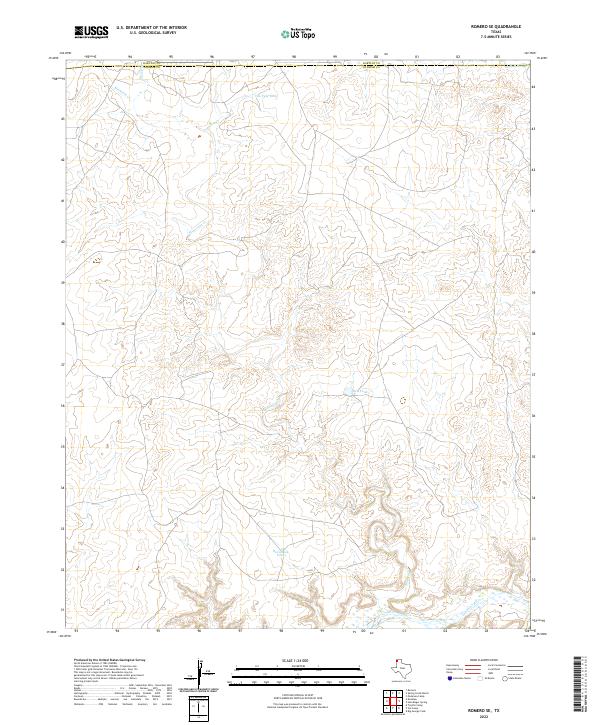 2022 Romero SE2022 Print · USGSThe High Plains of the Texas Panhandle are documented here as they appeared in the early twenty-first century, showing the boundary between Hartley and Oldham counties. Genealogists and land researchers can trace the winding path of Minneosa Cr and locate vital local landmarks like Van Tyle Tank and Red Tank.
 - 2022 Map of Torrey House, 2022 Print
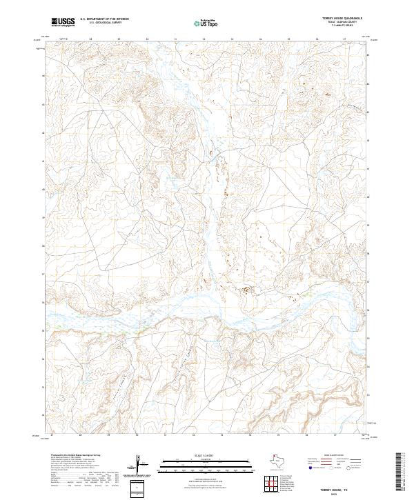 2022 Torrey House2022 Print · USGSThe Texas Panhandle's wide river breaks are documented here in the early twenty-first century. Researchers can trace cattle ranching infrastructure and water management sites like Old Goodnight Tank and Rita Blanca Tank near the Canadian River.
 - 2022 Map of Vat Camp, 2022 Print
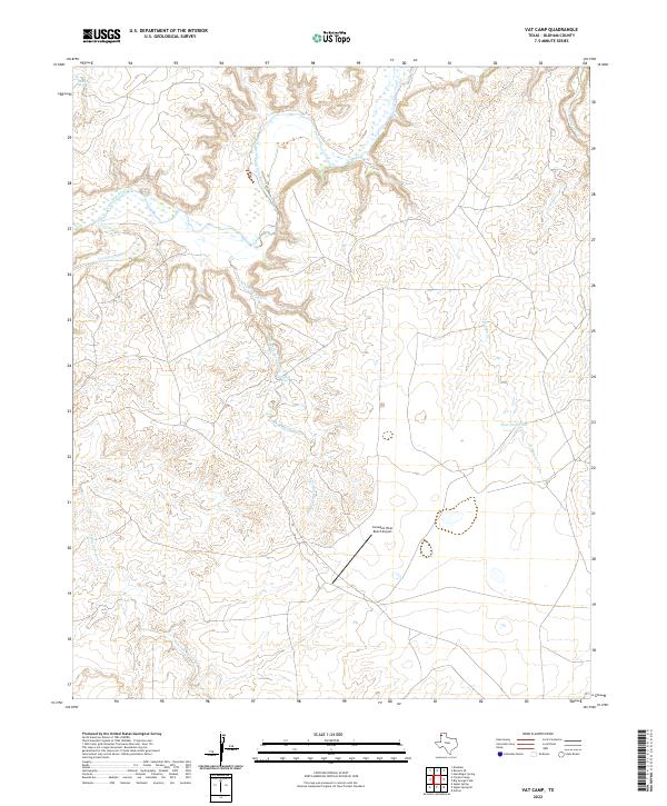 2022 Vat Camp2022 Print · USGSRanching and aviation define this stretch of the Texas Panhandle in the early twenty-first century. Researchers can trace the rugged drainage patterns of the Canadian River and find isolated landmarks like Dripping Springs and the Canadian River Ranch Airport.
 - 2022 Map of Signal Spring SE, 2022 Print
 2022 Signal Spring SE2022 Print · USGSOldham County ranch lands in the Texas Panhandle are revealed in this 2022 survey, showing a landscape defined by seasonal creek beds and private tracks. Trace the drainage of Agua de Piedra Cr or locate landmarks like Paint Rock and Curry Lake.
 - 2022 Map of Alamocitos Camp, 2022 Print
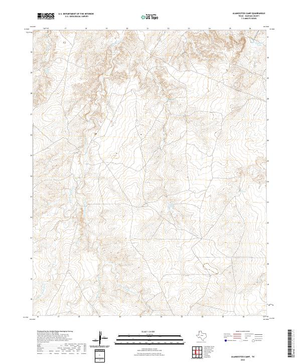 2022 Alamocitos Camp2022 Print · USGSThe ranching country of the Texas Panhandle is captured here in the early twenty-first century, showing the drainage of the Canadian River watershed. Trace the landscape's water sources from Goodnight Canyon to Skunk Arroyo Spring and Big Spring.
 - 2022 Map of Simms NE, 2022 Print
 2022 Simms NE2022 Print · USGSThe Texas Panhandle's expansive ranching landscape comes into focus at the meeting point of two counties in the early twenty-first century. Genealogists and researchers can trace the reach of rural life along Landergin Rd, Bronniman Rd, and the headwaters of Cottonwood Cr.
 - 2022 Map of Humdinger Spring, 2022 Print
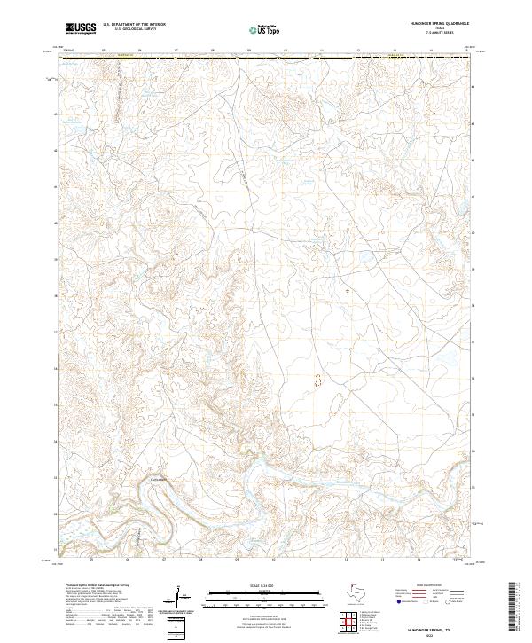 2022 Humdinger Spring2022 Print · USGSTexas Panhandle ranching country is documented in this recent survey of the High Plains north of the river. Researchers can trace land use through named water features like Humdinger Spring and ranching infrastructure including Griffin Ranch Rd.
 - 2022 Map of Torrey Peak, 2022 Print
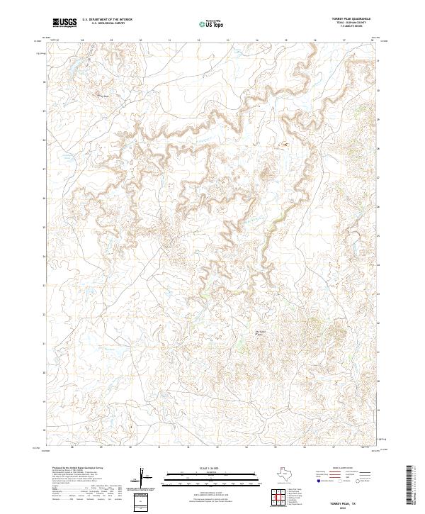 2022 Torrey Peak2022 Print · USGSOldham County ranch lands are defined by the breaks of the Canadian River watershed in this recent survey. Researchers can trace the rugged drainages of Middle Alamosa Cr and find landmarks like Torrey Peak and The Cedar Brakes.
Showing maps 1-25 of 39
Top cities of Oldham County
Frequently asked questions
- What are the different types of historical maps available for Oldham County?
- What is the oldest map of Oldham County?
- Where can I purchase historical maps of Oldham County for my home or office?
- Where can I download high-res historical maps of Oldham County?
- Are there historical topographic maps available for Oldham County?
- Is there historical aerial imagery available for Oldham County?
- Where are historical maps of Oldham County sourced from?