2000s (21st Century) Maps of Oldham County, Texas
Explore 180 historic maps of Oldham County from the 2000s (21st Century). These maps offer a rare glimpse into what life looked like during the 2000s — showing old roads, neighborhoods, homes, and landmarks that have changed or disappeared over time.
Whether you're researching your family's past, planning a metal detecting trip, or studying how Oldham County's landscape evolved across the 2000s, these high-resolution maps are a powerful tool for exploring the history of this region.
- Focus on a specific era: All maps on this page are from the 2000s, giving you a focused view of this time period.
- See what’s changed: Compare century-old streets, trails, and buildings to today's modern landscape using overlays and satellite layers.
- Research with precision: Use these maps for genealogy, historical research, land use analysis, or educational projects.
- View, download, or print: Maps are fully viewable online in high resolution, and can be downloaded or printed for your own records.
Start exploring Oldham County's history through authentic maps from the 2000s. This is your window into the past.
Oldham County, TX maps
(180)- 2010 Map of Everett, 2010 Print
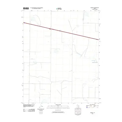 2010 Everett2010 Print · USGSCovers Oldham County, including Everett, Deaf Smith County, and other nearby areas
 - 2010 Map of Jay Taylor Ranch, 2010 Print
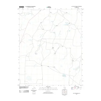 2010 Jay Taylor Ranch2010 Print · USGSCovers Oldham County, including United States, Texas, and other nearby areas
 - 2010 Map of Bivins Channing Ranch, 2010 Print
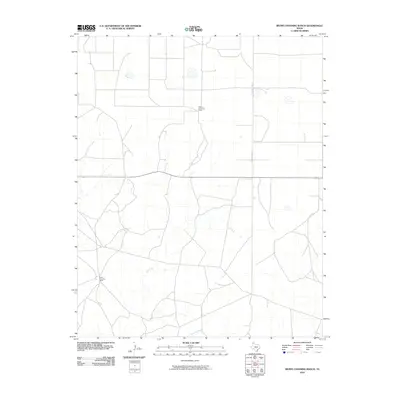 2010 Bivins Channing Ranch2010 Print · USGSCovers Oldham County, including Moore County, Hartley County, and other nearby areas
 - 2010 Map of Halfway Creek, 2010 Print
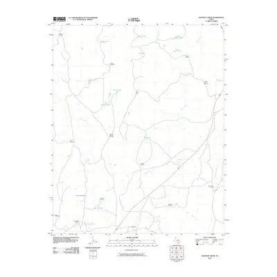 2010 Halfway Creek2010 Print · USGSCovers Oldham County, including United States, Texas, and other nearby areas
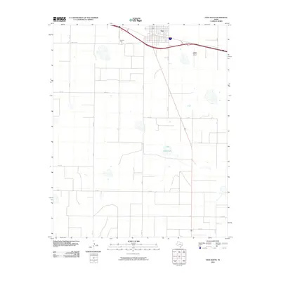
 - 2010 Map of Channing, 2010 Print
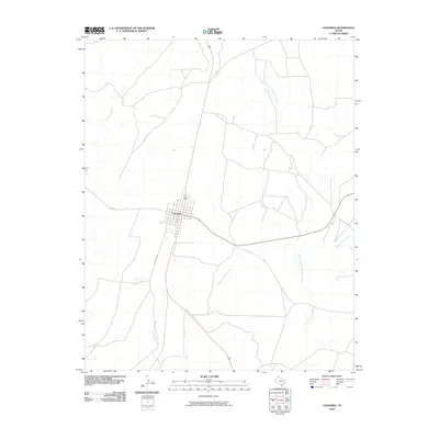 2010 Channing2010 Print · USGSCovers Oldham County, including Channing, Hartley County, and other nearby areas
 - 2010 Map of Channing NW, 2010 Print
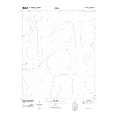 2010 Channing NW2010 Print · USGSCovers Oldham County, including Hartley County, United States, and other nearby areas
 - 2010 Map of Ady, 2010 Print
 2010 Ady2010 Print · USGSCovers Oldham County, including Ady, Potter County, and other nearby areas
 - 2010 Map of Boys Ranch West, 2010 Print
 2010 Boys Ranch West2010 Print · USGSCovers Oldham County, including Boys Ranch, Tascosa, and other nearby areas
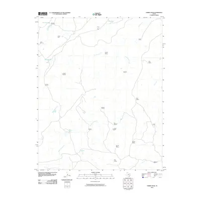
 - 2010 Map of Humdinger Spring, 2010 Print
 2010 Humdinger Spring2010 Print · USGSCovers Oldham County, including Partwood Crossing, Strip Crossing, and other nearby areas
 - 2010 Map of Torrey House, 2010 Print
 2010 Torrey House2010 Print · USGSCovers Oldham County, including Hollicott Crossing, United States, and other nearby areas
 - 2010 Map of Moser Ranch, 2010 Print
 2010 Moser Ranch2010 Print · USGSCovers Oldham County, including Deaf Smith County, United States, and other nearby areas
 - 2010 Map of Romero SE, 2010 Print
 2010 Romero SE2010 Print · USGSCovers Oldham County, including Corner Windmill, Hartley County, and other nearby areas
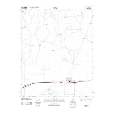
 - 2010 Map of Landergin, 2010 Print
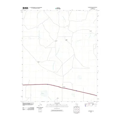 2010 Landergin2010 Print · USGSCovers Oldham County, including Landergin, United States, and other nearby areas
 - 2010 Map of Big George Tank, 2010 Print
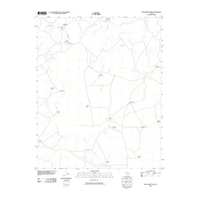 2010 Big George Tank2010 Print · USGSCovers Oldham County, including United States, Texas, and other nearby areas
 - 2010 Map of Signal Spring, 2010 Print
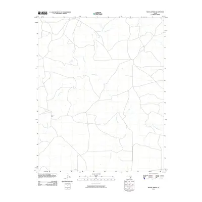 2010 Signal Spring2010 Print · USGSCovers Oldham County, including United States, Texas, and other nearby areas
 - 2010 Map of Many Post Camp, 2010 Print
 2010 Many Post Camp2010 Print · USGSCovers Oldham County, including Old Farm Crossing, Hartley County, and other nearby areas
 - 2010 Map of Adrian, 2010 Print
 2010 Adrian2010 Print · USGSCovers Oldham County, including Adrian, Wimberly Place, and other nearby areas
 - 2010 Map of Simms NW, 2010 Print
 2010 Simms NW2010 Print · USGSCovers Oldham County, including Deaf Smith County, United States, and other nearby areas
 - 2010 Map of Proctor Ranch, 2010 Print
 2010 Proctor Ranch2010 Print · USGSCovers Oldham County, including Hartley County, United States, and other nearby areas
 - 2010 Map of Signal Spring SE, 2010 Print
 2010 Signal Spring SE2010 Print · USGSCovers Oldham County, including United States, Texas, and other nearby areas
 - 2010 Map of Simms NE, 2010 Print
 2010 Simms NE2010 Print · USGSCovers Oldham County, including Deaf Smith County, United States, and other nearby areas
 - 2010 Map of Boise, 2010 Print
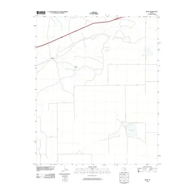 2010 Boise2010 Print · USGSCovers Oldham County, including Boise, Deaf Smith County, and other nearby areas
 - 2010 Map of Vega South, 2010 Print
 2010 Vega South2010 Print · USGSCovers Oldham County, including Vega, Deaf Smith County, and other nearby areas
 - 2010 Map of Torrey Peak, 2010 Print
 2010 Torrey Peak2010 Print · USGSCovers Oldham County, including United States, Texas, and other nearby areas
 - 2010 Map of Trujillo Camp, 2010 Print
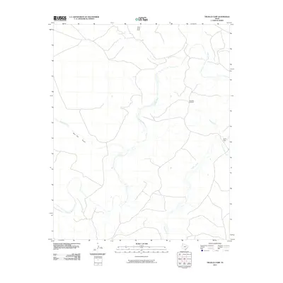 2010 Trujillo Camp2010 Print · USGSCovers Oldham County, including United States, Texas, and other nearby areas
Showing maps 1-25 of 180
Top cities of Oldham County
Frequently asked questions
- What are the different types of historical maps available for Oldham County?
- What is the oldest map of Oldham County?
- Where can I purchase historical maps of Oldham County for my home or office?
- Where can I download high-res historical maps of Oldham County?
- Are there historical topographic maps available for Oldham County?
- Is there historical aerial imagery available for Oldham County?
- Where are historical maps of Oldham County sourced from?