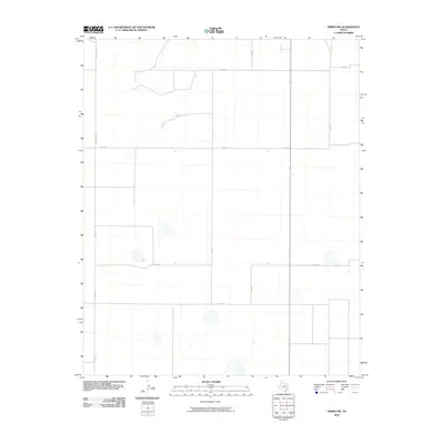
2010 Map of Simms NW
USGS Topo · Published 2010About this map
Gruhlkey Rd and Co Rd Pp define the western boundaries of this high plains agricultural landscape in Deaf Smith County. The 2010 survey by the U.S. Geological Survey illustrates a highly organized grid of rural infrastructure, primarily composed of section-line roads and scattered depressions that characteristic of the Panhandle geography. Unlike earlier eras of concentrated settlement, this period shows a landscape dominated by large-scale land management, where thoroughfares like Co Rd 21 and Co Rd B facilitate movement across the open terrain. The mapping focuses on the functional geometry of the county, tracing a network of local routes including Co Rd 28 and Co Rd 22 that connect the expansive ranching and farming tracts of the Simms NW quadrangle.
Find a feature on this map
11 named features on this map. Tap any name to fly to it.
Don’t see what you’re looking for? This feature index may not catch every label — zoom into the map to look around manually.
Map Details
Editions of this 2010 Simms NW Map
This is the sole edition of this map. No revisions or reprints were ever made.
Other maps of this area

1954 · Tucumcari
USGS Topo · 1:250,000

1958 · Tucumcari
USGS Topo · 1:250,000

1966 · Boise
USGS Topo · 1:24,000

1966 · Overstreet Lake
USGS Topo · 1:24,000

1966 · Simms NW
USGS Topo · 1:24,000

1966 · Simms
USGS Topo · 1:24,000

1966 · Simms NE
USGS Topo · 1:24,000

1966 · Adrian
USGS Topo · 1:24,000

1966 · Signal Spring SE
USGS Topo · 1:24,000

1966 · Landergin
USGS Topo · 1:24,000