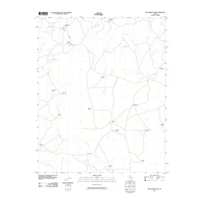
2010 Map of Big George Tank
USGS Topo · Published 2010About this map
George Camp and Matador Camp anchor this landscape in Oldham County, where the ranching infrastructure of the Texas Panhandle is meticulously documented. The terrain is defined by a sophisticated network of water management, essential for sustaining livestock in this arid environment. Key water sources including Big George Tank, Rock Springs Tank, and Joaquin Springs are connected by intermittent drainages such as Rock Springs Creek and the branching Los Arches Creek.
Find a feature on this map
33 named features on this map. Tap any name to fly to it.
Don’t see what you’re looking for? This feature index may not catch every label — zoom into the map to look around manually.
Map Details
Editions of this 2010 Big George Tank Map
This is the sole edition of this map. No revisions or reprints were ever made.
Other maps of this area

1954 · Tucumcari
USGS Topo · 1:250,000

1958 · Tucumcari
USGS Topo · 1:250,000

1966 · Alamocitos Camp
USGS Topo · 1:24,000

1966 · Adrian
USGS Topo · 1:24,000

1966 · Signal Spring SE
USGS Topo · 1:24,000

1966 · Big George Tank
USGS Topo · 1:24,000

1966 · Landergin
USGS Topo · 1:24,000

1966 · Vat Camp
USGS Topo · 1:24,000

1971 · Romero SE
USGS Topo · 1:24,000

1971 · Many Post Camp
USGS Topo · 1:24,000