Old Maps of Bryarly, Texas for Metal Detecting
Plan your next treasure hunt with 11 historic maps of Bryarly. Find old homesites, ghost towns, trails, and gathering spots that may be lost to time — perfect for identifying promising metal detecting locations.
- Locate forgotten sites: Uncover places like long-lost settlements, abandoned rail lines, or gathering spots.
- Plan better hunts: Use map overlays combined with LiDAR or satellite views to narrow in on historically rich areas.
- Made for detectorists: Thousands of hobbyists use these maps to discover relics, coins, and hidden history.
Use these historic maps to boost your research and find new opportunities beneath the surface of Bryarly.
Bryarly, TX maps
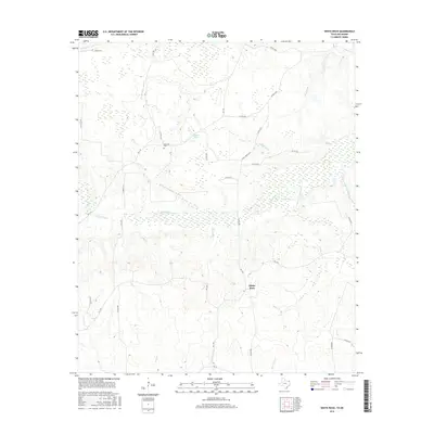
(11)- 1950 Map of White Rock, 1973 Print
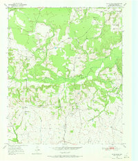 1950 White Rock1973 Print · USGSNortheast Texas rural life in the mid-twentieth century is centered on the small hamlets and bayous of Red River County. Genealogists can locate family landmarks like Slate Cem, the Madras Sch, and the dispersed houses of Reeds Settlement.2 unique versions available
 - 1951 Map of White Rock
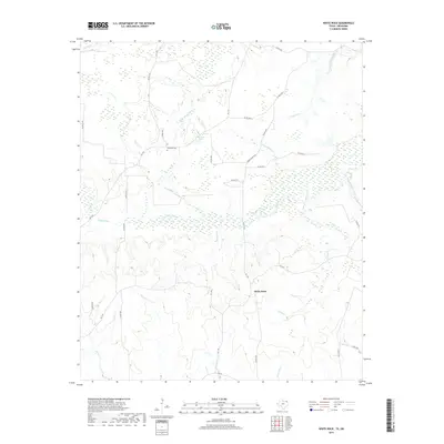
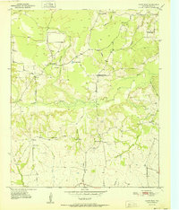 1951 White Rock1951 Print · USGSRed River County in the early fifties remains a landscape of quiet rural crossroads and tight-knit farming communities. Researchers can trace the heritage of local families at White Rock Cem, Reeds Settlement, and country schools like Madras Sch.
 - 1953 Map of Texarkana, 1964 Print
 1953 Texarkana1964 Print · USGSThe Texas-Arkansas borderlands are captured here in the mid-fifties, during a decade of massive military and hydraulic engineering projects. Genealogists and researchers can locate family landmarks like Old Boston Cem, Siloam Ch, and the vast Red River Arsenal.4 unique versions available
 - 1956 Map of Texarkana
 1956 Texarkana1956 Print · USGSThe Ark-La-Tex borderlands come alive in the mid-fifties, showing the transition from a rail-dependent rural economy to a post-war industrial landscape. Researchers can trace the massive Red River Ordnance Depot and find towns like Talco, Bogata, and Naples.
 - 1986 Map of Idabel
 1986 Idabel1986 Print · USGSThe tri-state borderlands of Oklahoma, Arkansas, and Texas come alive in the 1980s, centered on the Red River and the timberlands of the Ouachita National Forest. Genealogists and historians can trace the paths of the Missouri Pacific railroad through towns like Bokhoma and Ashdown.
 - 1990 Map of Idabel
 1990 Idabel1990 Print · USGSThe tri-state borderlands of Oklahoma, Arkansas, and Texas come alive in this late twentieth-century survey of the Red River valley. Researchers can trace the legacy of rail and river commerce through settlements like Bokhoma and Ashdown or find rural landmarks such as Hill Chapel.
 - 2010 Map of White Rock, 2010 Print
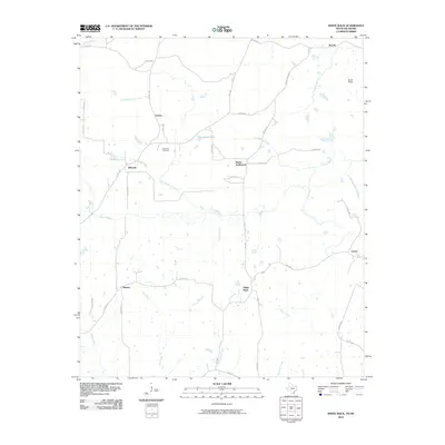 2010 White Rock2010 Print · USGSCovers Bryarly, including Madras, Vessey, and other nearby areas
 - 2012 Map of White Rock, 2012 Print
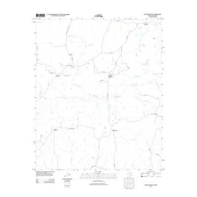 2012 White Rock2012 Print · USGSCovers Bryarly, including Madras, Vessey, and other nearby areas
 - 2016 Map of White Rock, 2016 Print
 2016 White Rock2016 Print · USGSCovers Bryarly, including Madras, Vessey, and other nearby areas
 - 2019 Map of White Rock, 2019 Print
 2019 White Rock2019 Print · USGSCovers Bryarly, including Madras, Vessey, and other nearby areas
 - 2022 Map of White Rock, 2022 Print
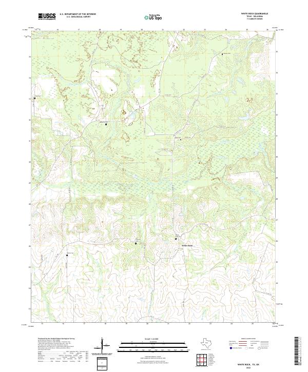 2022 White Rock2022 Print · USGSIn the rural reaches of Red River County during the early twenty-first century, this landscape preserves a dense network of family and community burial grounds. Researchers can locate several historical sites including White Rock Cem, Old Concord Cem, and Old Goose Pond.
End of results
Showing maps 1-11 of 11
Top cities near Bryarly
- Idabel historical maps
- Broken Bow historical maps
- Clarksville historical maps
- Avery historical maps
- Haworth historical maps
- Annona historical maps
See more
Frequently asked questions
- What are the different types of historical maps available for Bryarly?
- What is the oldest map of Bryarly?
- Where can I purchase historical maps of Bryarly for my home or office?
- Where can I download high-res historical maps of Bryarly?
- Are there historical topographic maps available for Bryarly?
- Is there historical aerial imagery available for Bryarly?
- Where are historical maps of Bryarly sourced from?