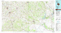
Old Maps of Inari, Texas for Genealogy
Trace your family roots with 10 historic maps of Inari. These high-res maps reveal old neighborhoods, homesites, landmarks, and streets — helping you uncover where your ancestors lived and how the area evolved over time.
- Explore historic neighborhoods: Identify where your relatives may have lived in the 1800s or 1900s.
- Compare maps over time: Trace the changes in streets, buildings, and landmarks for multi-generational research.
- Perfect for genealogy & ancestry research: Used by family historians and researchers to map out lineage and migration.
These maps are an incredible resource for exploring your personal connection to Inari's past.
Inari, TX maps
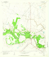
(10)- 1953 Map of Beeville
 1953 Beeville1953 Print · USGSThe Texas Coastal Bend in the early fifties shows a landscape of growing regional hubs and vital maritime corridors. Trace the rail-and-river economy through Goliad, locate the Matagorda Lighthouse, and explore the sprawling Aransas National Wildlife Refuge.
 - 1956 Map of Beeville
 1956 Beeville1956 Print · USGSCoastal Texas and the brush country interior are shown in the mid-fifties, from the coastal bays to the inland oil fields. Trace the old rail lines of the Southern Pacific RR or locate the historic Matagorda Lighthouse and the Aransas National Wildlife Refuge.2 unique versions available
 - 1960 Map of Beeville
 1960 Beeville1960 Print · USGSCoastal Texas in the mid-fifties reveals a landscape of growing towns and vital military outposts like Foster AFB. Researchers can trace old rail lines including the Missouri Pacific and explore the vast Aransas National Wildlife Refuge.
 - 1962 Map of McFaddin, 1964 Print
 1962 McFaddin1964 Print · USGSThe Texas coastal prairie comes alive in the early sixties as energy extraction meets historic ranchlands along the winding San Antonio River. Genealogists and historians can trace local roots through De la Garza Cem, the settlement of McFaddin, and the extensive Anaqua Oil Field.3 unique versions available
 - 1985 Map of Goliad, 1992 Print
 1985 Goliad1992 Print · USGSThe South Texas plains during the mid-eighties reveal a landscape of deep-rooted ranching towns and historic river crossings. Genealogists and historians can trace family locations through Upper Meyersville, follow the Southern Pacific rail line, or locate landmarks like OLF Goliad and Goliad State Park.
 - 2010 Map of McFaddin, 2010 Print
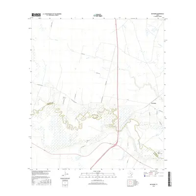
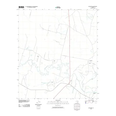 2010 McFaddin2010 Print · USGSCovers Inari, including McFaddin, Victoria County, and other nearby areas
 - 2013 Map of McFaddin, 2013 Print
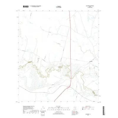
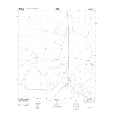 2013 McFaddin2013 Print · USGSCovers Inari, including McFaddin, Victoria County, and other nearby areas
 - 2016 Map of McFaddin, 2016 Print
 2016 McFaddin2016 Print · USGSCovers Inari, including McFaddin, Victoria County, and other nearby areas
 - 2019 Map of McFaddin, 2019 Print
 2019 McFaddin2019 Print · USGSCovers Inari, including McFaddin, Victoria County, and other nearby areas
 - 2022 Map of McFaddin, 2022 Print
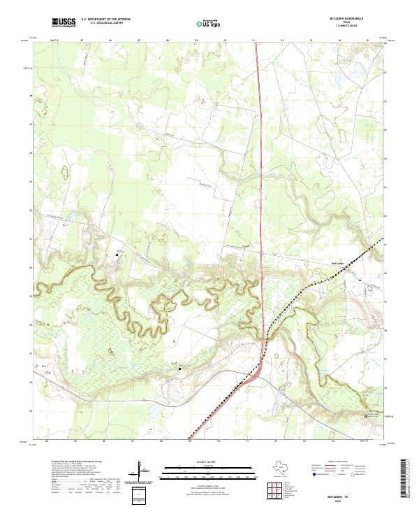 2022 McFaddin2022 Print · USGSThe Texas coastal plain comes alive in this study of the river-crossed borderlands of Victoria and Refugio counties. Researchers can trace family history at the De la Garza Cem or follow the intricate oxbows of the San Antonio River and Old River.
End of results
Showing maps 1-10 of 10
Top cities near Inari
Frequently asked questions
- What are the different types of historical maps available for Inari?
- What is the oldest map of Inari?
- Where can I purchase historical maps of Inari for my home or office?
- Where can I download high-res historical maps of Inari?
- Are there historical topographic maps available for Inari?
- Is there historical aerial imagery available for Inari?
- Where are historical maps of Inari sourced from?