Old Maps of Hearne, Texas for Genealogy
Trace your family roots with 14 historic maps of Hearne. These high-res maps reveal old neighborhoods, homesites, landmarks, and streets — helping you uncover where your ancestors lived and how the area evolved over time.
- Explore historic neighborhoods: Identify where your relatives may have lived in the 1800s or 1900s.
- Compare maps over time: Trace the changes in streets, buildings, and landmarks for multi-generational research.
- Perfect for genealogy & ancestry research: Used by family historians and researchers to map out lineage and migration.
These maps are an incredible resource for exploring your personal connection to Hearne's past.
Hearne, TX maps
(14)- 1954 Map of Austin, 1964 Print
 1954 Austin1964 Print · USGSCentral Texas is captured during a period of steady growth as the capital city and its neighboring farm towns began to modernize. Researchers can trace historic rail corridors like the Southern Pacific RR or locate landmarks such as Bergstrom Air Force Base and Pilot Knob.4 unique versions available
 - 1961 Map of Hearne North, 1964 Print
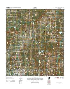
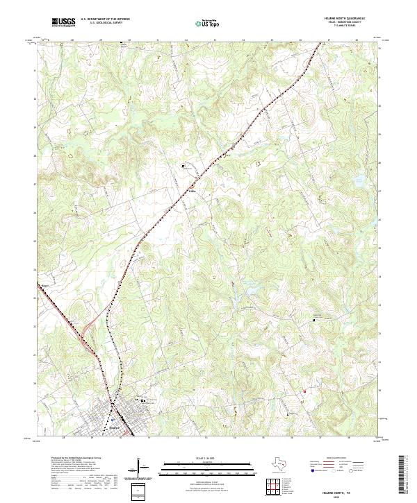
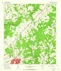 1961 Hearne North1964 Print · USGSHearne and the surrounding Robertson County prairies are captured in the early sixties as a bustling rail and transit hub. Genealogists can locate family landmarks like Hammond Colony, Blackshear High Sch, and the Norwood Cem among the creek breaks.2 unique versions available
 - 1961 Map of Hearne South, 1964 Print
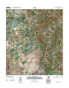
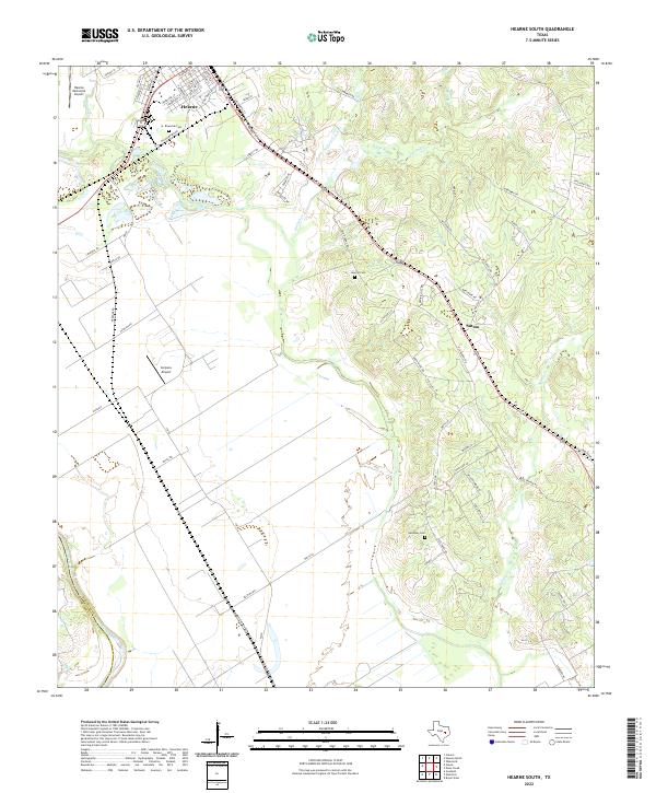
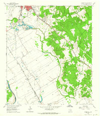 1961 Hearne South1964 Print · USGSRailroad operations in the Brazos Valley defined the early 1960s landscape near the Milam and Robertson County line. Genealogists and local historians can trace the footprint of rural communities through sites like Tatsie Crossing, St Luke Cem, and the Blackshear High Sch.3 unique versions available
 - 1993 Map of Bryan
 1993 Bryan1993 Print · USGSBrazos Valley life in the early nineties centered on the rapid growth of College Station and the agricultural heartbeat of the river bottomlands. Genealogists and historians can trace the paths of the Kings Highway, several rail lines, and local landmarks like City Cem and Texas A&M University.
 - 2010 Map of Hearne South, 2010 Print
 2010 Hearne South2010 Print · USGSCovers Hearne, including Tatsie Crossing, Sutton, and other nearby areas
 - 2010 Map of Hearne North, 2010 Print
 2010 Hearne North2010 Print · USGSCovers Hearne, including Elliot, Seger, and other nearby areas
 - 2013 Map of Hearne North, 2013 Print
 2013 Hearne North2013 Print · USGSCovers Hearne, including Elliot, Seger, and other nearby areas
 - 2013 Map of Hearne South, 2013 Print
 2013 Hearne South2013 Print · USGSCovers Hearne, including Tatsie Crossing, Sutton, and other nearby areas
 - 2016 Map of Hearne South, 2016 Print
 2016 Hearne South2016 Print · USGSCovers Hearne, including Tatsie Crossing, Sutton, and other nearby areas
 - 2016 Map of Hearne North, 2016 Print
 2016 Hearne North2016 Print · USGSCovers Hearne, including Elliot, Seger, and other nearby areas
 - 2019 Map of Hearne North, 2019 Print
 2019 Hearne North2019 Print · USGSCovers Hearne, including Elliot, Seger, and other nearby areas
 - 2019 Map of Hearne South, 2019 Print
 2019 Hearne South2019 Print · USGSCovers Hearne, including Tatsie Crossing, Sutton, and other nearby areas
 - 2022 Map of Hearne North, 2022 Print
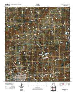
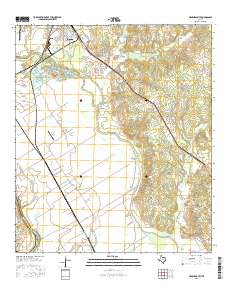
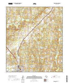
 2022 Hearne North2022 Print · USGSRobertson County's rural north country is captured in this contemporary survey, showing the expansion of Hearne toward the settlements of Elliot and Seger. Genealogists can locate several historic burial grounds, from the Hammond Colony Cem to the family-named Elliott Cem near Wilson Rd.
 - 2022 Map of Hearne South, 2022 Print
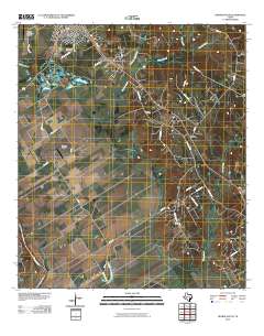
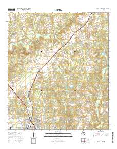
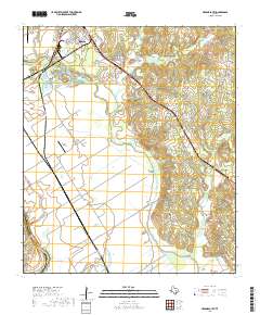
 2022 Hearne South2022 Print · USGSIn the fertile lowlands of Robertson County during the early 2020s, the area around Hearne and Sutton reveals a landscape defined by its river-bottom proximity. You can trace family history through local sites like Riverside Cem, Galloway Cem, and the old routes along Pin Oak Cr.
End of results
Showing maps 1-14 of 14
Top cities near Hearne
Frequently asked questions
- What are the different types of historical maps available for Hearne?
- What is the oldest map of Hearne?
- Where can I purchase historical maps of Hearne for my home or office?
- Where can I download high-res historical maps of Hearne?
- Are there historical topographic maps available for Hearne?
- Is there historical aerial imagery available for Hearne?
- Where are historical maps of Hearne sourced from?