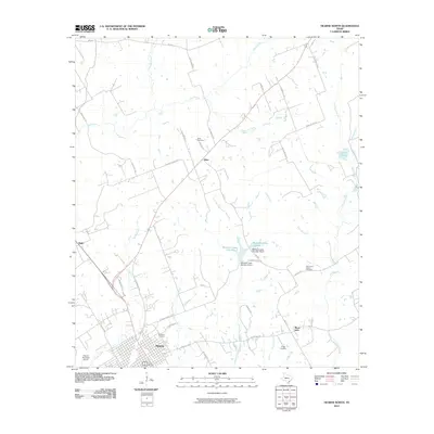
2010 Map of Hearne North
USGS Topo · Published 2010About this map
Hearne anchors the southern edge of this Robertson County landscape, where the town's street grid meets the Hearne Municipal Airport and the waters of Sandy Creek. The surrounding countryside is defined by a network of rural routes like W Henry Prairie Rd and Old Franklin Hwy, connecting smaller communities such as Elliot and Black Jack. Genealogists will find significant value in the distribution of family and community burial sites, including Norwood Cemetery, Suggs Cemetery, and the Hammond Colony Cemetery. The terrain is deeply etched by a complex drainage system featuring Little Pin Oak Creek, Threemile Creek, and the McGuire Lakes Number 1 reservoir system. This map captures the agricultural and residential transition of the Brazos Valley region at the end of the first decade of the 21st century.
Find a feature on this map
49 named features on this map. Tap any name to fly to it.
Don’t see what you’re looking for? This feature index may not catch every label — zoom into the map to look around manually.
Map Details
Editions of this 2010 Hearne North Map
This is the sole edition of this map. No revisions or reprints were ever made.
Other maps of this area
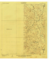
1927 · Marquez
USGS Topo · 1:62,500
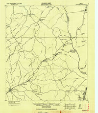
1930 · Marquez
USGS Topo · 1:62,500

1954 · Waco
USGS Topo · 1:250,000

1954 · Austin
USGS Topo · 1:250,000

1955 · Waco
USGS Topo · 1:250,000
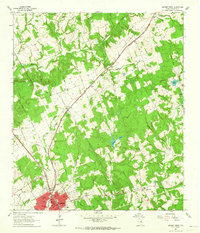
1961 · Hearne North
USGS Topo · 1:24,000
1961 · Hearne South
USGS Topo · 1:24,000
1962 · Calvert
USGS Topo · 1:24,000
1962 · Wheelock
USGS Topo · 1:24,000
1962 · Hammond
USGS Topo · 1:24,000