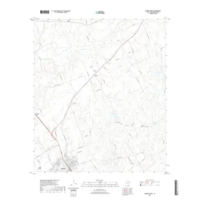
2019 Map of Hearne North
USGS Topo · Published 2019About this map
The city of Hearne anchor this Robertson County landscape, where the northern residential street grid gives way to the central Texas brush and creek country. The terrain is defined by a dendritic network of waterways including Little Mud Cr, Threemile Cr, and Pin Oak Cr, which weave through the agricultural and ranch lands. Small settlements like Elliot and Seger represent the rural community structure of the region, often centered around family or church landmarks.
Find a feature on this map
96 named features on this map. Tap any name to fly to it.
Don’t see what you’re looking for? This feature index may not catch every label — zoom into the map to look around manually.
Map Details
Editions of this 2019 Hearne North Map
This is the sole edition of this map. No revisions or reprints were ever made.
Other maps of this area
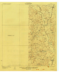
1927 · Marquez
USGS Topo · 1:62,500
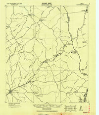
1930 · Marquez
USGS Topo · 1:62,500

1954 · Waco
USGS Topo · 1:250,000

1954 · Austin
USGS Topo · 1:250,000

1955 · Waco
USGS Topo · 1:250,000
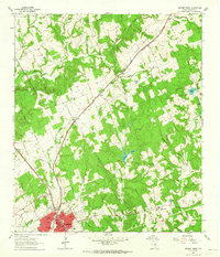
1961 · Hearne North
USGS Topo · 1:24,000
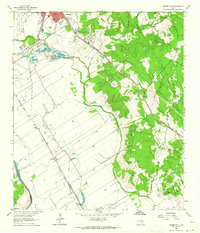
1961 · Hearne South
USGS Topo · 1:24,000
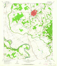
1962 · Calvert
USGS Topo · 1:24,000
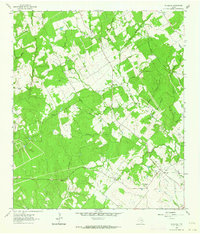
1962 · Wheelock
USGS Topo · 1:24,000
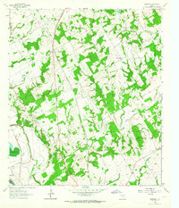
1962 · Hammond
USGS Topo · 1:24,000