2000s (21st Century) Maps of McLendon-Chisholm, Texas
Explore 15 historic maps of McLendon-Chisholm from the 2000s (21st Century). These maps offer a rare glimpse into what life looked like during the 2000s — showing old roads, neighborhoods, homes, and landmarks that have changed or disappeared over time.
Whether you're researching your family's past, planning a metal detecting trip, or studying how McLendon-Chisholm's landscape evolved across the 2000s, these high-resolution maps are a powerful tool for exploring the history of this region.
- Focus on a specific era: All maps on this page are from the 2000s, giving you a focused view of this time period.
- See what’s changed: Compare century-old streets, trails, and buildings to today's modern landscape using overlays and satellite layers.
- Research with precision: Use these maps for genealogy, historical research, land use analysis, or educational projects.
- View, download, or print: Maps are fully viewable online in high resolution, and can be downloaded or printed for your own records.
Start exploring McLendon-Chisholm's history through authentic maps from the 2000s. This is your window into the past.
McLendon-Chisholm, TX maps
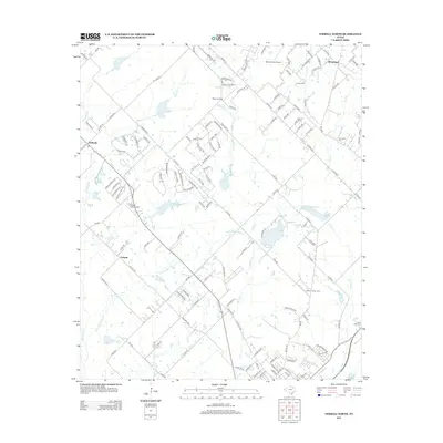
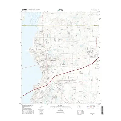
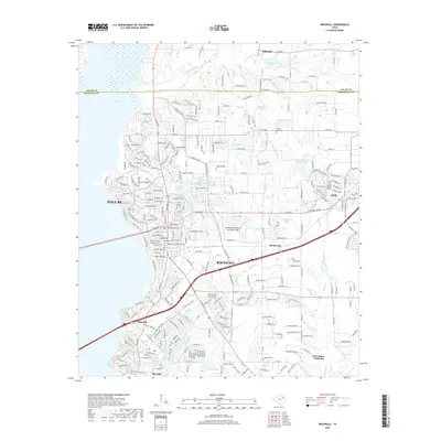
(15)- 2010 Map of Rockwall, 2010 Print
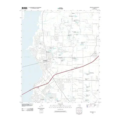 2010 Rockwall2010 Print · USGSCovers McLendon-Chisholm, including Dallas, Rockwall, and other nearby areas
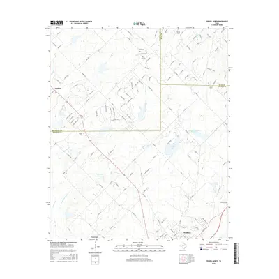
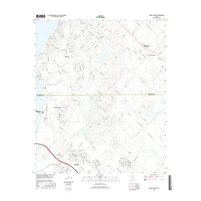
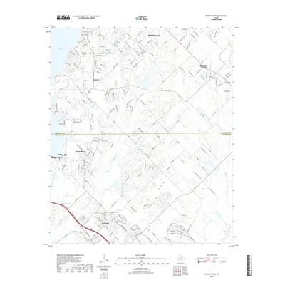
 - 2010 Map of Terrell North, 2010 Print
 2010 Terrell North2010 Print · USGSCovers McLendon-Chisholm, including Rockwall, Terrell, and other nearby areas
 - 2011 Map of Forney North, 2011 Print
 2011 Forney North2011 Print · USGSCovers McLendon-Chisholm, including Dallas, Rockwall, and other nearby areas
 - 2012 Map of Forney North, 2012 Print
 2012 Forney North2012 Print · USGSCovers McLendon-Chisholm, including Dallas, Rockwall, and other nearby areas
 - 2012 Map of Rockwall, 2012 Print
 2012 Rockwall2012 Print · USGSCovers McLendon-Chisholm, including Dallas, Rockwall, and other nearby areas
 - 2012 Map of Terrell North, 2012 Print
 2012 Terrell North2012 Print · USGSCovers McLendon-Chisholm, including Rockwall, Terrell, and other nearby areas
 - 2016 Map of Rockwall, 2016 Print
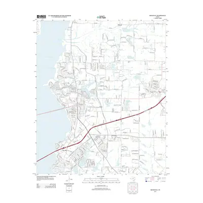
 2016 Rockwall2016 Print · USGSCovers McLendon-Chisholm, including Dallas, Rockwall, and other nearby areas
 - 2016 Map of Terrell North, 2016 Print
 2016 Terrell North2016 Print · USGSCovers McLendon-Chisholm, including Rockwall, Terrell, and other nearby areas
 - 2016 Map of Forney North, 2016 Print
 2016 Forney North2016 Print · USGSCovers McLendon-Chisholm, including Dallas, Rockwall, and other nearby areas
 - 2019 Map of Rockwall, 2019 Print
 2019 Rockwall2019 Print · USGSCovers McLendon-Chisholm, including Dallas, Rockwall, and other nearby areas
 - 2019 Map of Forney North, 2019 Print
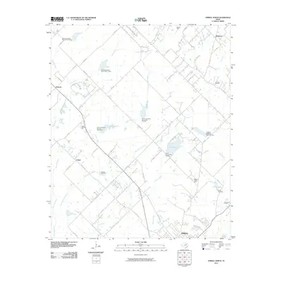
 2019 Forney North2019 Print · USGSCovers McLendon-Chisholm, including Dallas, Rockwall, and other nearby areas
 - 2019 Map of Terrell North, 2019 Print
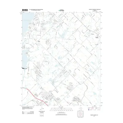
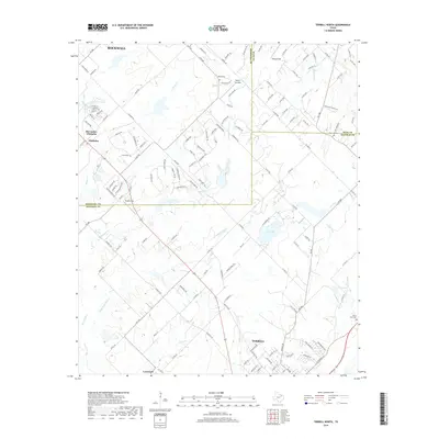 2019 Terrell North2019 Print · USGSCovers McLendon-Chisholm, including Rockwall, Terrell, and other nearby areas
 - 2022 Map of Terrell North, 2022 Print
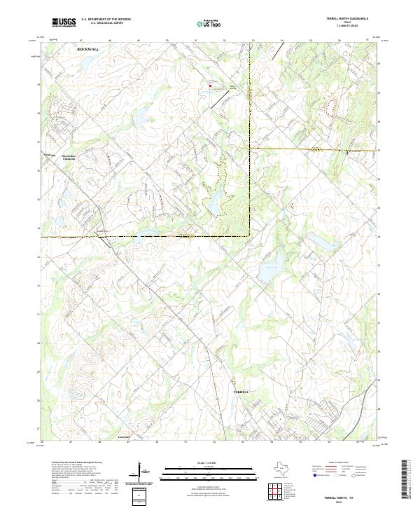 2022 Terrell North2022 Print · USGSNorth of Terrell in the 2020s, this area shows the meeting of three counties and the steady growth of communities like McLendon-Chisholm. Trace the local landscape through features like Dry Creek Cem, Club Lake, and the many branches of High Point Creek.
 - 2022 Map of Forney North, 2022 Print
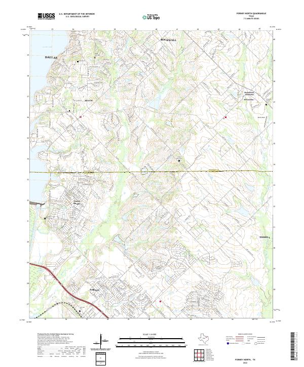 2022 Forney North2022 Print · USGSNorth Texas suburban growth meets historic pioneer roots in this recent survey of the Rockwall and Kaufman county lines. Genealogists can trace family heritage at Hillcrest Cem and Heath Cem while exploring the modern shores of Ray Hubbard Lake.
 - 2023 Map of Rockwall, 2023 Print
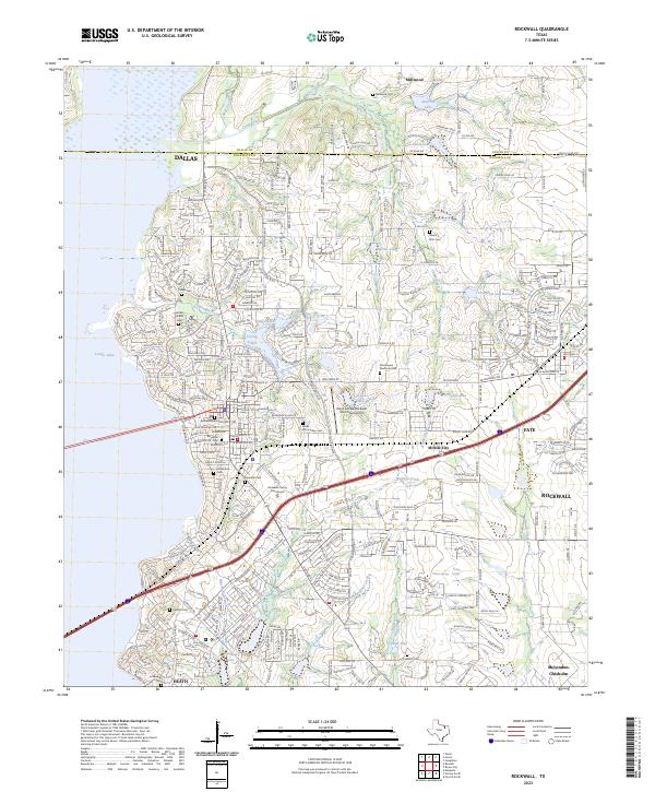 2023 Rockwall2023 Print · USGSRockwall and its eastern suburbs are shown in their modern state, highlighting the intersection of rapid growth and historical preservation. Genealogists can locate family burial sites such as Rockwall Memorial Cem and Parker Cem alongside landmarks like the Rockwall County Courthouse.
End of results
Showing maps 1-15 of 15
Top cities near McLendon-Chisholm
- Dallas historical maps
- Plano historical maps
- Garland historical maps
- Mesquite historical maps
- Richardson historical maps
- Allen historical maps
See more
Top neighborhoods of McLendon-Chisholm
Frequently asked questions
- What are the different types of historical maps available for McLendon-Chisholm?
- What is the oldest map of McLendon-Chisholm?
- Where can I purchase historical maps of McLendon-Chisholm for my home or office?
- Where can I download high-res historical maps of McLendon-Chisholm?
- Are there historical topographic maps available for McLendon-Chisholm?
- Is there historical aerial imagery available for McLendon-Chisholm?
- Where are historical maps of McLendon-Chisholm sourced from?