Old Maps of McLendon-Chisholm, Texas for Academic Research
Study the evolution of McLendon-Chisholm with 25 high-resolution historic maps. Whether you're teaching, researching, or modeling changes in land use, these maps provide essential visual documentation of urban, environmental, and geographic change.
- Analyze long-term change: Track patterns in development, transportation, and natural features.
- Ideal for environmental or urban studies: Support academic projects with primary historical map data.
- Use in the classroom or lab: Educators and researchers rely on these maps to bring historical context to life.
These maps are a powerful tool for teaching, research, and visualizing how McLendon-Chisholm has changed over the decades.
McLendon-Chisholm, TX maps
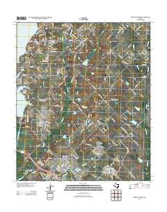
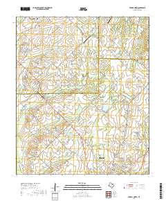
(25)- 1912 Map of Rockwall
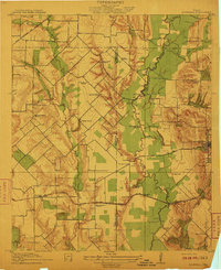 1912 Rockwall1912 Print · USGSTexas blackland prairie and river bottoms are captured here in the years before the landscape was transformed by suburban expansion. Genealogists can locate family homesites near rural landmarks like Lewis Store, Wards Chapel, and the Elm Grove School.2 unique versions available
 - 1919 Map of Royse City
 1919 Royse City1919 Print · USGSThe agricultural heart of Northeast Texas is captured here just after the Great War, as the Blackland Prairie was crisscrossed by essential rail lines. Trace the locations of early rural landmarks like Locust Grove School, the Randle Ranch, and the vanished stop at Rockwall Station.
 - 1954 Map of Dallas, 1963 Print
 1954 Dallas1963 Print · USGSNorth Texas in the mid-fifties and early sixties reveals a landscape of rapid urban growth and water management. Genealogists and historians can trace the evolution of the metroplex through landmarks like Hensley Field, Boles Orphan Home, and the Texas & Pacific RR.4 unique versions available
 - 1958 Map of Dallas
 1958 Dallas1958 Print · USGSNorth Texas in the late fifties shows the dramatic expansion of the Metroplex as it absorbs surrounding farm towns. Genealogists and historians can trace old rail lines like the Missouri-Kansas-Texas and locate early lakefront developments at Eagle Mountain Lake and Lake Worth Village.
 - 1962 Map of Terrell North, 1966 Print
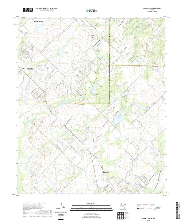
 1962 Terrell North1966 Print · USGSKaufman County in the early sixties reveals a landscape of small farming communities and the steady growth of Terrell. Trace historical footprints at Chisholm and Colquitt, or follow the Texas and Pacific Railroad line.
 - 1963 Map of Forney North, 1966 Print
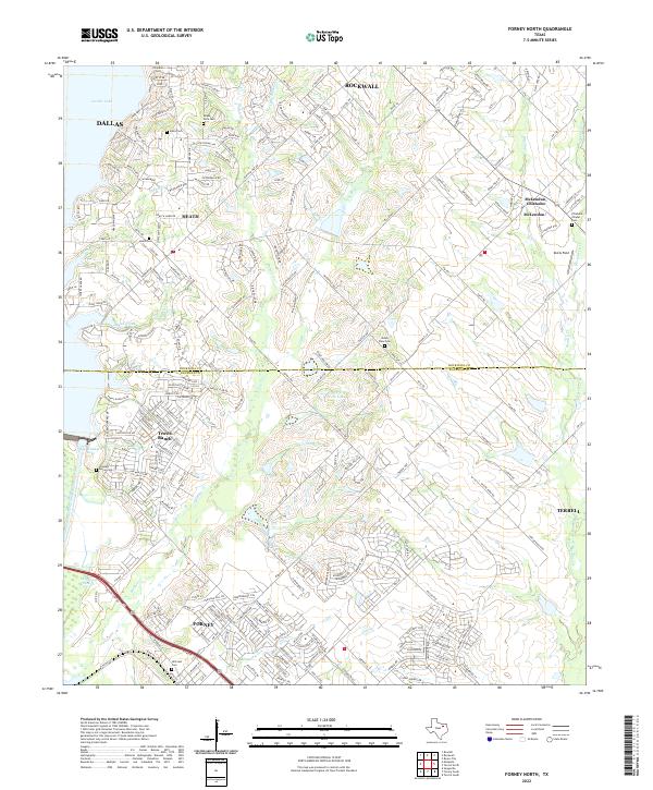
 1963 Forney North1966 Print · USGSKaufman and Rockwall Counties are captured here in the early sixties as rural farm life met new infrastructure. You can trace family roots at Chisholm Cem, locate the Mt Rose Ch, or follow the Texas and Pacific rail line through Forney.3 unique versions available
 - 1963 Map of Rockwall, 1966 Print
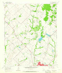
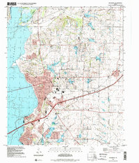
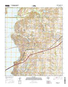
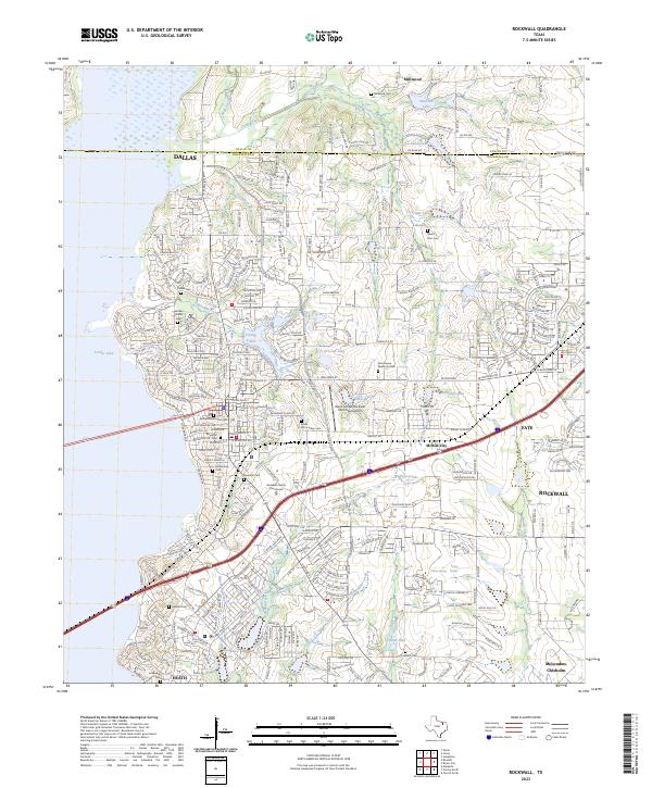
 1963 Rockwall1966 Print · USGSRockwall and the surrounding Blackland Prairie terrain are captured here in the early sixties as the region transitioned toward modern development. Researchers can trace family sites near Mt Zion Cem, the old Fate depot area, and the tracks of the Texas and Pacific Railroad.4 unique versions available
 - 1986 Map of Dallas
 1986 Dallas1986 Print · USGSThe North Texas metropolitan landscape comes into focus during the mid-eighties as urban growth expands toward the eastern reservoirs. Researchers can trace historic cemeteries like Oak Cliff Cem, rail corridors of the Texas & Pacific RR, and landmarks such as Southern Methodist University.3 unique versions available
 - 1995 Map of Rockwall, 2002 Print
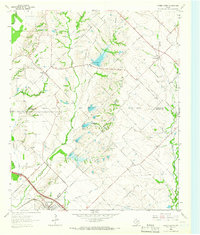
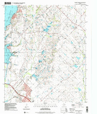
 1995 Rockwall2002 Print · USGSRockwall County witnessed significant suburban expansion toward the end of the century as it oriented itself around the reservoir. Researchers can trace land development and historic family sites like Mt Zion Cem, Zollner Ranch, and the Old Railroad Grade.
 - 1995 Map of Forney North, 2002 Print
 1995 Forney North2002 Print · USGSThe outskirts of Dallas saw rapid transformation in the mid-nineties as suburban growth pushed into Kaufman and Rockwall Counties. Researchers can trace the heritage of early settlers at Peek Cem, Chisholm Cem, and the historic Mt Rose Ch.
 - 2010 Map of Rockwall, 2010 Print
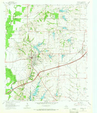
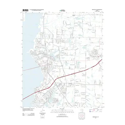
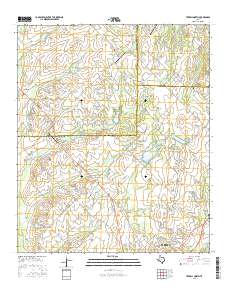
 2010 Rockwall2010 Print · USGSCovers McLendon-Chisholm, including Dallas, Rockwall, and other nearby areas
 - 2010 Map of Terrell North, 2010 Print
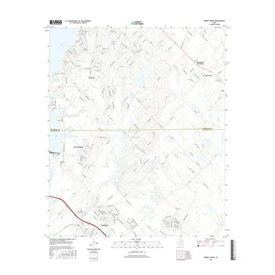
 2010 Terrell North2010 Print · USGSCovers McLendon-Chisholm, including Rockwall, Terrell, and other nearby areas
 - 2011 Map of Forney North, 2011 Print
 2011 Forney North2011 Print · USGSCovers McLendon-Chisholm, including Dallas, Rockwall, and other nearby areas
 - 2012 Map of Forney North, 2012 Print
 2012 Forney North2012 Print · USGSCovers McLendon-Chisholm, including Dallas, Rockwall, and other nearby areas
 - 2012 Map of Rockwall, 2012 Print
 2012 Rockwall2012 Print · USGSCovers McLendon-Chisholm, including Dallas, Rockwall, and other nearby areas
 - 2012 Map of Terrell North, 2012 Print
 2012 Terrell North2012 Print · USGSCovers McLendon-Chisholm, including Rockwall, Terrell, and other nearby areas
 - 2016 Map of Rockwall, 2016 Print
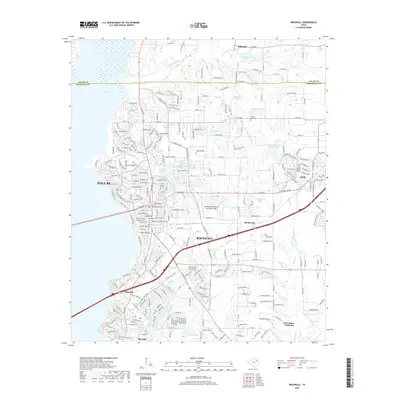
 2016 Rockwall2016 Print · USGSCovers McLendon-Chisholm, including Dallas, Rockwall, and other nearby areas
 - 2016 Map of Terrell North, 2016 Print
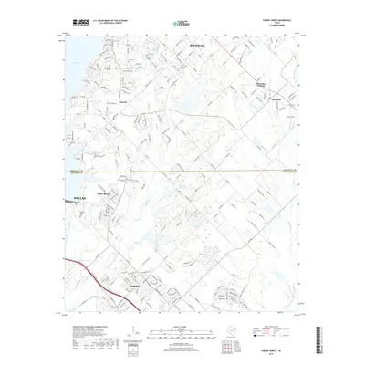
 2016 Terrell North2016 Print · USGSCovers McLendon-Chisholm, including Rockwall, Terrell, and other nearby areas
 - 2016 Map of Forney North, 2016 Print
 2016 Forney North2016 Print · USGSCovers McLendon-Chisholm, including Dallas, Rockwall, and other nearby areas
 - 2019 Map of Rockwall, 2019 Print
 2019 Rockwall2019 Print · USGSCovers McLendon-Chisholm, including Dallas, Rockwall, and other nearby areas
 - 2019 Map of Forney North, 2019 Print
 2019 Forney North2019 Print · USGSCovers McLendon-Chisholm, including Dallas, Rockwall, and other nearby areas
 - 2019 Map of Terrell North, 2019 Print
 2019 Terrell North2019 Print · USGSCovers McLendon-Chisholm, including Rockwall, Terrell, and other nearby areas
 - 2022 Map of Terrell North, 2022 Print
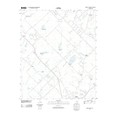
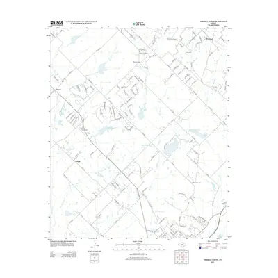
 2022 Terrell North2022 Print · USGSNorth of Terrell in the 2020s, this area shows the meeting of three counties and the steady growth of communities like McLendon-Chisholm. Trace the local landscape through features like Dry Creek Cem, Club Lake, and the many branches of High Point Creek.
 - 2022 Map of Forney North, 2022 Print
 2022 Forney North2022 Print · USGSNorth Texas suburban growth meets historic pioneer roots in this recent survey of the Rockwall and Kaufman county lines. Genealogists can trace family heritage at Hillcrest Cem and Heath Cem while exploring the modern shores of Ray Hubbard Lake.
 - 2023 Map of Rockwall, 2023 Print
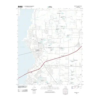
 2023 Rockwall2023 Print · USGSRockwall and its eastern suburbs are shown in their modern state, highlighting the intersection of rapid growth and historical preservation. Genealogists can locate family burial sites such as Rockwall Memorial Cem and Parker Cem alongside landmarks like the Rockwall County Courthouse.
End of results
Showing maps 1-25 of 25
Top cities near McLendon-Chisholm
- Dallas historical maps
- Plano historical maps
- Garland historical maps
- Mesquite historical maps
- Richardson historical maps
- Allen historical maps
See more
Top neighborhoods of McLendon-Chisholm
Frequently asked questions
- What are the different types of historical maps available for McLendon-Chisholm?
- What is the oldest map of McLendon-Chisholm?
- Where can I purchase historical maps of McLendon-Chisholm for my home or office?
- Where can I download high-res historical maps of McLendon-Chisholm?
- Are there historical topographic maps available for McLendon-Chisholm?
- Is there historical aerial imagery available for McLendon-Chisholm?
- Where are historical maps of McLendon-Chisholm sourced from?