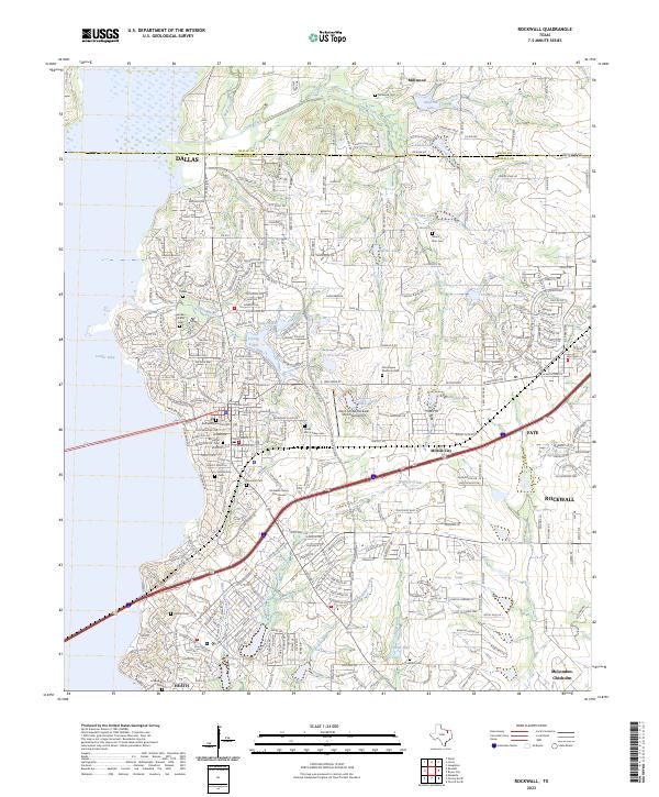
2023 Map of Rockwall
USGS Topo · Published 2023About this map
The Rockwall skyline and surrounding suburbs dominate this modern landscape, centered on the Rockwall County Courthouse and the intersection of major thoroughfares like State Hwy 276. The western edge is defined by the vast waters of Corder Lake, where residential developments have replaced the once-rural shoreline. Scattered throughout this growing urban corridor are numerous small burial grounds that preserve the area's genealogical history, including Millwood Cem in the north and the Nathan Butler Cem.
Find a feature on this map
81 named features on this map. Tap any name to fly to it.
Don’t see what you’re looking for? This feature index may not catch every label — zoom into the map to look around manually.
Map Details
Editions of this 2023 Rockwall Map
This is the sole edition of this map. No revisions or reprints were ever made.
Other maps of this area

1891 · Dallas
USGS Topo · 1:125,000

1893 · Dallas
USGS Topo · 1:125,000
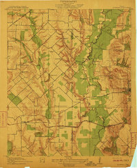
1912 · Rockwall
USGS Topo · 1:31,680
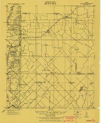
1919 · Royse City
USGS Topo · 1:62,500
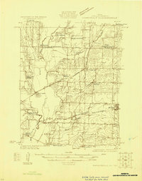
1924 · Farmersville 3-c
USGS Topo · 1:48,000
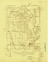
1924 · Mc Kinney 4-d
USGS Topo · 1:48,000
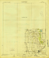
1929 · McKinney
USGS Topo · 1:62,500
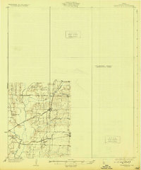
1930 · Farmersville
USGS Topo · 1:62,500

1954 · Dallas
USGS Topo · 1:250,000

1954 · Sherman
USGS Topo · 1:250,000