Old Maps of Ira, Texas for Metal Detecting
Plan your next treasure hunt with 9 historic maps of Ira. Find old homesites, ghost towns, trails, and gathering spots that may be lost to time — perfect for identifying promising metal detecting locations.
- Locate forgotten sites: Uncover places like long-lost settlements, abandoned rail lines, or gathering spots.
- Plan better hunts: Use map overlays combined with LiDAR or satellite views to narrow in on historically rich areas.
- Made for detectorists: Thousands of hobbyists use these maps to discover relics, coins, and hidden history.
Use these historic maps to boost your research and find new opportunities beneath the surface of Ira.
Ira, TX maps
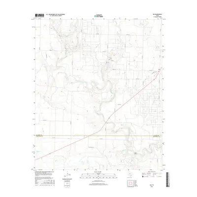
(9)- 1951 Map of Ira
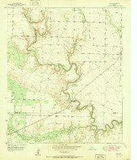 1951 Ira1951 Print · USGSScurry County's landscape in the early fifties was defined by the winding Colorado River and the expanding energy sector. Genealogists and historians can trace the settlement at Ira, find family markers at Ira Cem, and locate early Oil Wells across the Sharon Bluff Oil Field.2 unique versions available
 - 1954 Map of Big Spring, 1965 Print
 1954 Big Spring1965 Print · USGSWest Texas in the mid-1950s shows a landscape of growing oil towns and vital rail links along the Texas and Pacific RR. Researchers can trace the development of Big Spring, find smaller settlements like Knott and Lomax, or locate landmarks such as Boyds Chapel and Signal Mountain.4 unique versions available
 - 1958 Map of Big Spring
 1958 Big Spring1958 Print · USGSThe West Texas oil boom was in full swing during the late fifties, transforming the landscape around Howard and Mitchell counties. Genealogists and historians can trace the growth of Big Spring and Snyder alongside industrial landmarks like the Kelly-Snyder Oil Field and the Santa Fe rail lines.
 - 1986 Map of Lamesa
 1986 Lamesa1986 Print · USGSWest Texas in the mid-eighties reveals a landscape of massive oil fields and cattle country where the High Plains drop off toward the Colorado River. Genealogists and historians can trace rail-side towns like O'Donnell and Fluvanna, or locate petroleum landmarks such as the Diamond M Oil Field and Jo Mill Oil Field.2 unique versions available
 - 2010 Map of Ira, 2010 Print
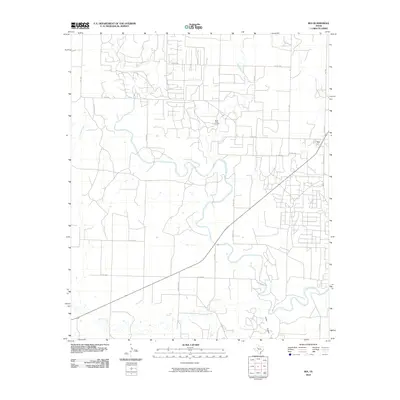 2010 Ira2010 Print · USGSCovers Ira, including Scurry County, Mitchell County, and other nearby areas
 - 2012 Map of Ira, 2012 Print
 2012 Ira2012 Print · USGSCovers Ira, including Scurry County, Mitchell County, and other nearby areas
 - 2016 Map of Ira, 2016 Print
 2016 Ira2016 Print · USGSCovers Ira, including Scurry County, Mitchell County, and other nearby areas
 - 2019 Map of Ira, 2019 Print
 2019 Ira2019 Print · USGSCovers Ira, including Scurry County, Mitchell County, and other nearby areas
 - 2022 Map of Ira, 2022 Print
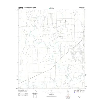
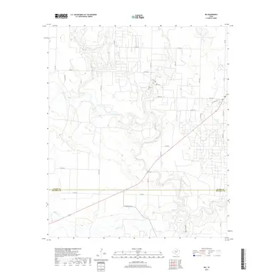
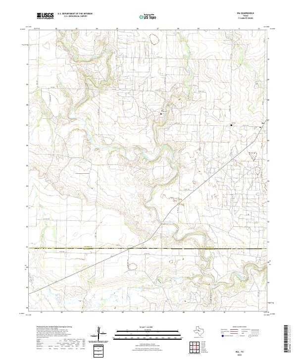 2022 Ira2022 Print · USGSIn the high plains of Scurry County during the early 2020s, the landscape is defined by the winding Colorado River and the rural community of Ira. Genealogists and local historians can locate the Ira Cem and Bluff Creek Cem among the drainages of Bull Creek and Cedar Canyon.
End of results
Showing maps 1-9 of 9
Top cities near Ira
Frequently asked questions
- What are the different types of historical maps available for Ira?
- What is the oldest map of Ira?
- Where can I purchase historical maps of Ira for my home or office?
- Where can I download high-res historical maps of Ira?
- Are there historical topographic maps available for Ira?
- Is there historical aerial imagery available for Ira?
- Where are historical maps of Ira sourced from?