2020s Maps of Shelby County, Texas
Explore 25 historic maps of Shelby County from the 2020s. These maps offer a rare glimpse into what life looked like during the 2020s — showing old roads, neighborhoods, homes, and landmarks that have changed or disappeared over time.
Whether you're researching your family's past, planning a metal detecting trip, or studying how Shelby County's landscape evolved across the 2020s, these high-resolution maps are a powerful tool for exploring the history of this region.
- Focus on a specific era: All maps on this page are from the 2020s, giving you a focused view of this time period.
- See what’s changed: Compare century-old streets, trails, and buildings to today's modern landscape using overlays and satellite layers.
- Research with precision: Use these maps for genealogy, historical research, land use analysis, or educational projects.
- View, download, or print: Maps are fully viewable online in high resolution, and can be downloaded or printed for your own records.
Start exploring Shelby County's history through authentic maps from the 2020s. This is your window into the past.
Shelby County, TX maps
(25)- 2020 Map of Logansport West, 2020 Print
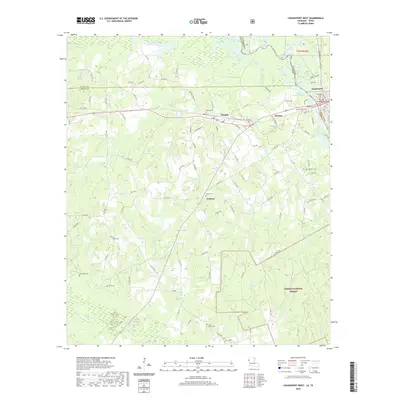 2020 Logansport West2020 Print · USGSThe Texas-Louisiana borderlands come into focus in the early twenty-first century as the Sabine River feeds into the Toledo Bend Reservoir. Researchers can trace old family lineages through numerous local burial grounds like Brookland Cem and Jackson Cem.
 - 2020 Map of Union Springs, 2020 Print
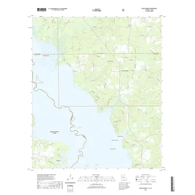 2020 Union Springs2020 Print · USGSThe borderlands of Texas and Louisiana come into focus during this contemporary period as the Toledo Bend Reservoir shapes the local geography. Genealogists and local historians can trace family ties at Oak Grove Church Cem or locate the rural communities of Huxley and Union Springs.
 - 2020 Map of Logansport East, 2020 Print
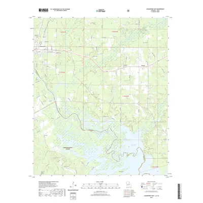 2020 Logansport East2020 Print · USGSDeSoto Parish and the Texas border meet along the sprawling waters of the Toledo Bend Reservoir in this recent survey. Researchers can locate numerous historic burial grounds like the Liberty Cem African American and Mount Olivet Church/Cem.
 - 2022 Map of Patroon North, 2022 Print
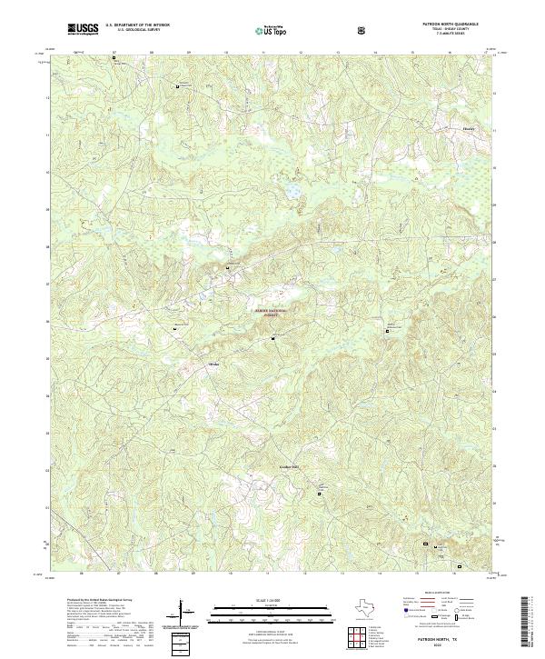 2022 Patroon North2022 Print · USGSShelby County’s wooded borderlands are captured here in the early twenty-first century, showcasing the deep-rooted rural communities of the Sabine National Forest. Researchers can trace family history through numerous burial sites like Bennett Chapel Cem and West Hamilton Cem near Dreka.
 - 2022 Map of East Hamilton, 2022 Print
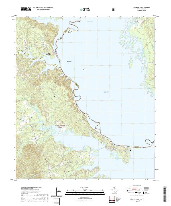 2022 East Hamilton2022 Print · USGSThe Texas-Louisiana borderlands come into focus in this contemporary survey of the Sabine River valley. Researchers can trace family history through several local landmarks like Bennett Cem, Liberty Springs Cem, and the settlement at East Hamilton.
 - 2022 Map of Brushy Creek, 2022 Print
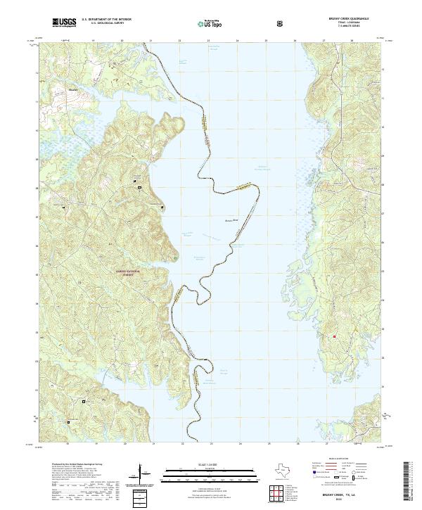 2022 Brushy Creek2022 Print · USGSThe Texas-Louisiana border along the Sabine River is shown here in the contemporary era as the Toledo Bend Reservoir meets the Sabine National Forest. Family historians can locate historic burial grounds like Pleasant Hill Cem and Brittain Cem among the many winding sloughs and creek branches.
 - 2022 Map of Patroon South, 2022 Print
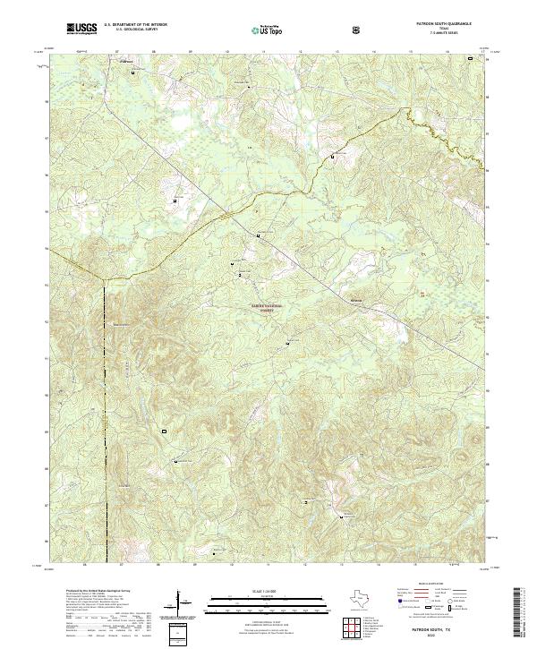 2022 Patroon South2022 Print · USGSDeep within East Texas in the 2020s, this area showcases the intersections of Shelby and San Augustine counties. Genealogists can trace family names at numerous local burial sites like Patroon Cem, Dunnigan Cem, and Bickley Cem.
 - 2022 Map of Tenaha East, 2022 Print
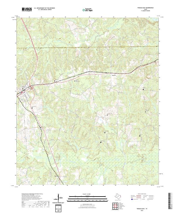 2022 Tenaha East2022 Print · USGSThe crossroads of eastern Texas come alive in this map of the timberlands during the early twenty-first century. Genealogists can locate numerous burial sites like Willow Grove Cemetery and Lone Oak Cemetery alongside the settlement of Tenaha.
 - 2022 Map of Center, 2022 Print
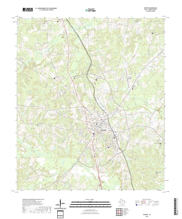 2022 Center2022 Print · USGSThe Shelby County seat in eastern Texas is captured here in its modern-day layout, anchored by the iconic Shelby County Courthouse. Local historians can trace dozens of rural burial sites, from Blount Chapel Cem to Cedar Yard Cem, and follow the winding courses of Chicken Bayou and Huana Cr.
 - 2022 Map of Neuville, 2022 Print
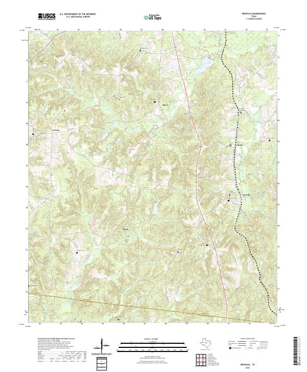 2022 Neuville2022 Print · USGSShelby County's rural communities and numerous family cemeteries come into focus in this recent survey of the East Texas timberlands. Genealogists can trace family names at Neuville Cem, Old Salem Cem, or Sandhill Cem while following the creeks that defined local property lines.
 - 2022 Map of Arcadia, 2022 Print
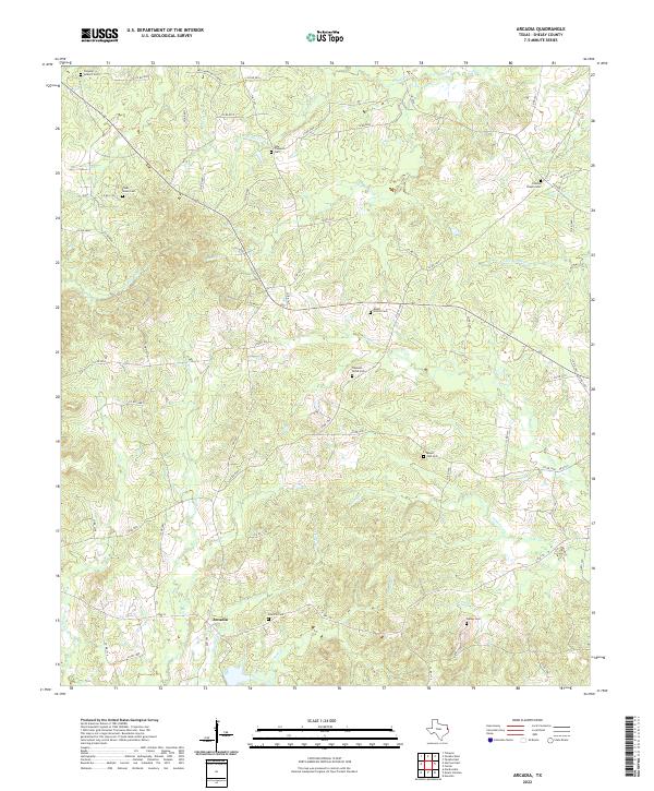 2022 Arcadia2022 Print · USGSThe community of Arcadia and the surrounding Shelby County creek bottoms are documented here in the early twenty-first century. Family history researchers can trace local lineage through numerous sites like Powdrill Cem, Walker Cem, and Folsom Chapel Cem.
 - 2022 Map of Timpson, 2022 Print
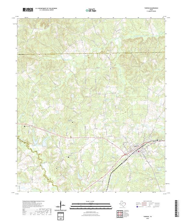 2022 Timpson2022 Print · USGSTimpson and the surrounding East Texas timberlands are detailed in this modern survey of the Shelby County countryside. Researchers can trace local heritage through numerous burial sites like Smyrna Cemetery and the waters of Flat Fork Creek.
 - 2022 Map of San Augustine West, 2022 Print
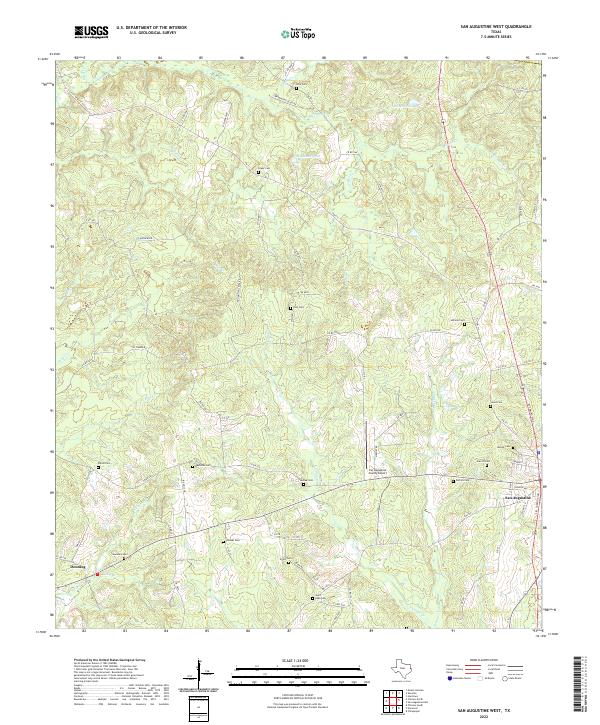 2022 San Augustine West2022 Print · USGSDeep in the piney woods of East Texas, this modern survey captures the landscape around San Augustine as it appeared in the early 2020s. Genealogists can trace family heritage through nearly a dozen burial sites, including Holt Cem, Redlands Cem, and Shiloh Cem.
 - 2022 Map of Hurstown, 2022 Print
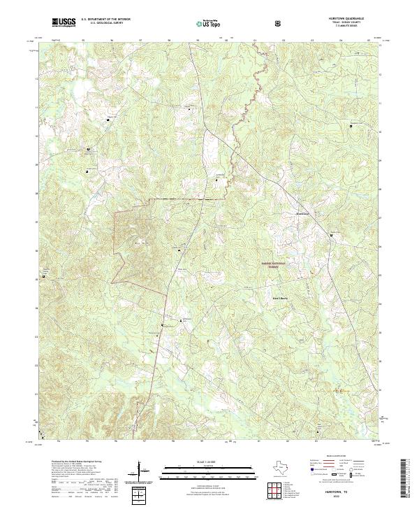 2022 Hurstown2022 Print · USGSShelby County, Texas, is mapped here in the early 2020s, showing a rural landscape anchored by the Sabine National Forest. Genealogists can trace numerous family burial sites such as Cannon Cem, Adams Cem, and Rather Cem across the creeks and bayous.
 - 2022 Map of Shelbyville, 2022 Print
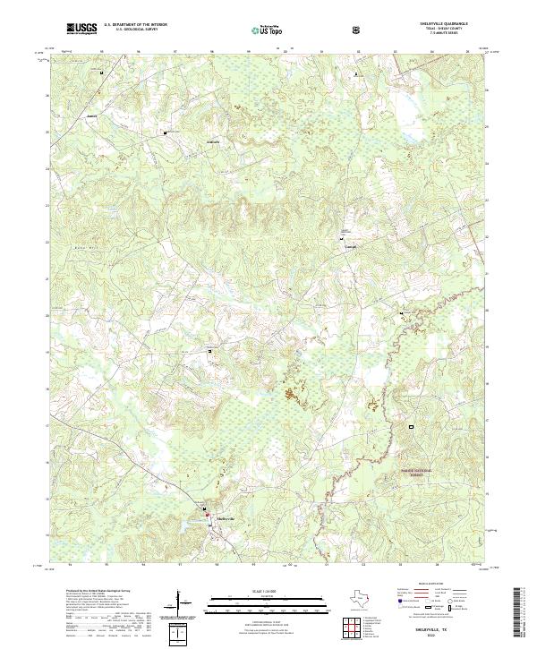 2022 Shelbyville2022 Print · USGSThe rural landscape near the Sabine River comes into focus in this recent survey of Shelby County. Genealogists can trace family footprints through numerous local sites including Shelbyville Cem, Campti Methodist Cem, and the edges of the Sabine National Forest.
 - 2022 Map of Martinsville, 2022 Print
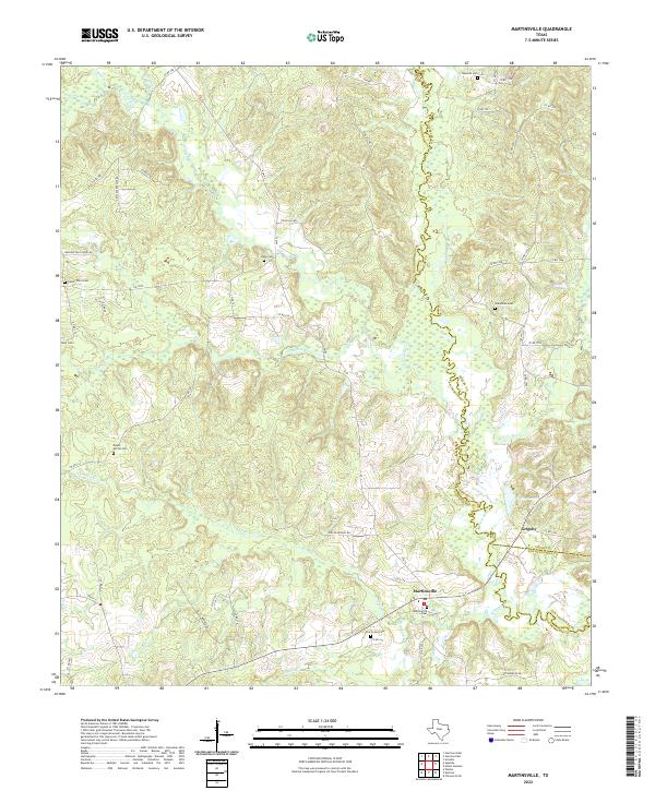 2022 Martinsville2022 Print · USGSNacogdoches and Shelby counties are shown here in the 2020s, dominated by the winding course of the Attoyac River. Genealogists can trace family heritage through numerous burial grounds like Mount Moriah Cem, Libby Cem, and Hancock Cem.
 - 2022 Map of Caledonia, 2022 Print
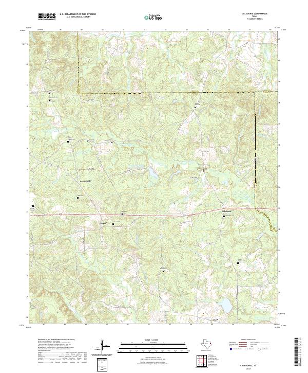 2022 Caledonia2022 Print · USGSThe tri-county borderlands of Rusk, Panola, and Shelby Counties come into focus in this recent survey of the East Texas timberlands. Genealogists can trace family heritage through numerous burial sites like Greeley Cem, Moss Cem, and Beavers Family Cem.
 - 2022 Map of Tenaha West, 2022 Print
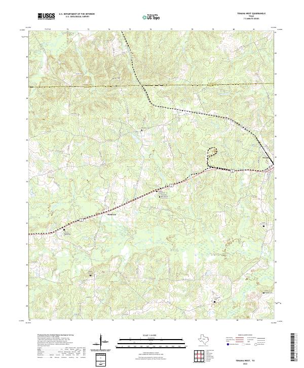 2022 Tenaha West2022 Print · USGSShelby County's timber and farming communities are mapped here in the early twenty-first century as they surround the town of Tenaha. Genealogists can trace family landmarks like Friendship Bobo Baptist Church Cem, Meldrum, and Porter Hill.
 - 2022 Map of Huxley, 2022 Print
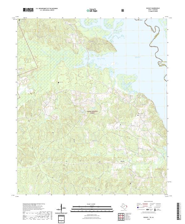 2022 Huxley2022 Print · USGSThe Sabine River bottomlands in Shelby County appear here as they are today, balanced between modern forest management and old family homesteads. Genealogists can trace rural roots through Star Spring Cem, Permenter Cem, and the waterside roads near Huxley.
 - 2022 Map of Garrison East, 2022 Print
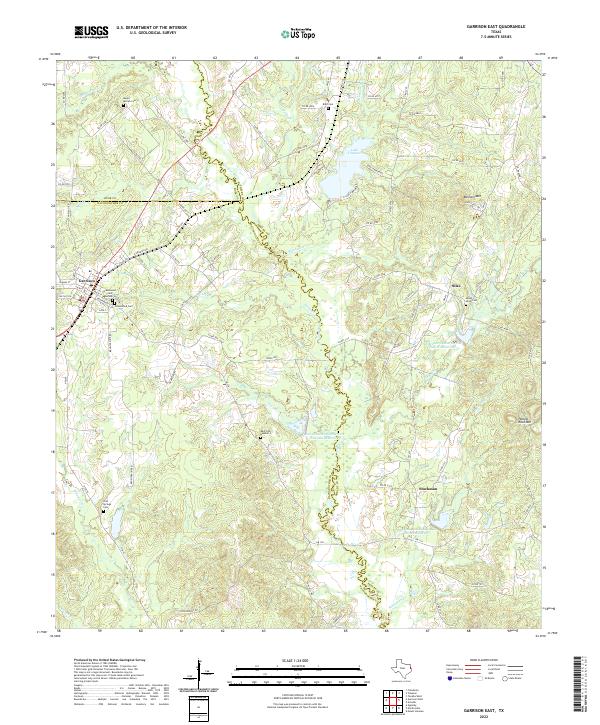 2022 Garrison East2022 Print · USGSShelby and Nacogdoches counties appear here in the early 2020s, showing a landscape shaped by the Attoyac River and the quiet growth of Garrison. Genealogists and local historians can trace family plots at Mount Olive Cem, Blair Cem, and Cold Springs Cem.
 - 2022 Map of Mount Herman, 2022 Print
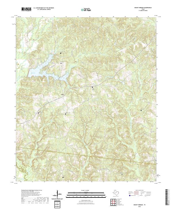 2022 Mount Herman2022 Print · USGSShelby County and San Augustine County are shown here in the 2020s, centered on the community of Aiken. Local historians can trace family burial sites at Wheeler Cem, Mount Herman Cem, or Old Salem Cem near the reservoir.
 - 2022 Map of San Augustine East, 2022 Print
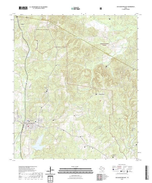 2022 San Augustine East2022 Print · USGSSan Augustine and the surrounding timberlands are documented here in the early twenty-first century. Genealogists can trace family heritage through dozens of local sites like the San Augustine City Cem, Antioch Cem, and Mount Dena Baptist Church Cem.
 - 2024 Map of Logansport West, 2024 Print
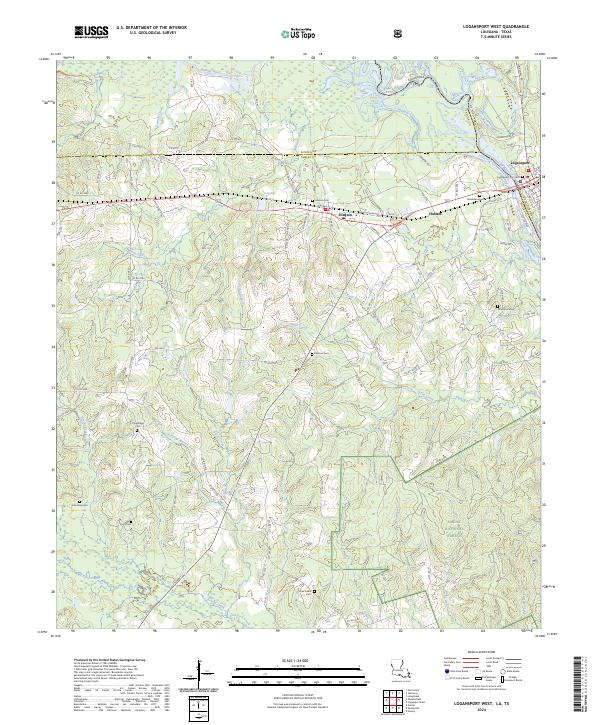 2024 Logansport West2024 Print · USGSThe Sabine River borderlands in the 2020s show a landscape of timbered national forest and small cross-border communities. Genealogists can trace family footprints through numerous rural burial sites like Pine Ridge Cem, Jackson Cem, and Lone Cedar Cem.
 - 2024 Map of Union Springs, 2024 Print
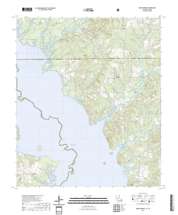 2024 Union Springs2024 Print · USGSThe borderlands of Louisiana and Texas come alive in this survey of the Toledo Bend Reservoir region. Genealogists can trace local roots through landmarks like Union Springs, Oak Grove Church Cem, and the community of Huxley.
 - 2024 Map of Logansport East, 2024 Print
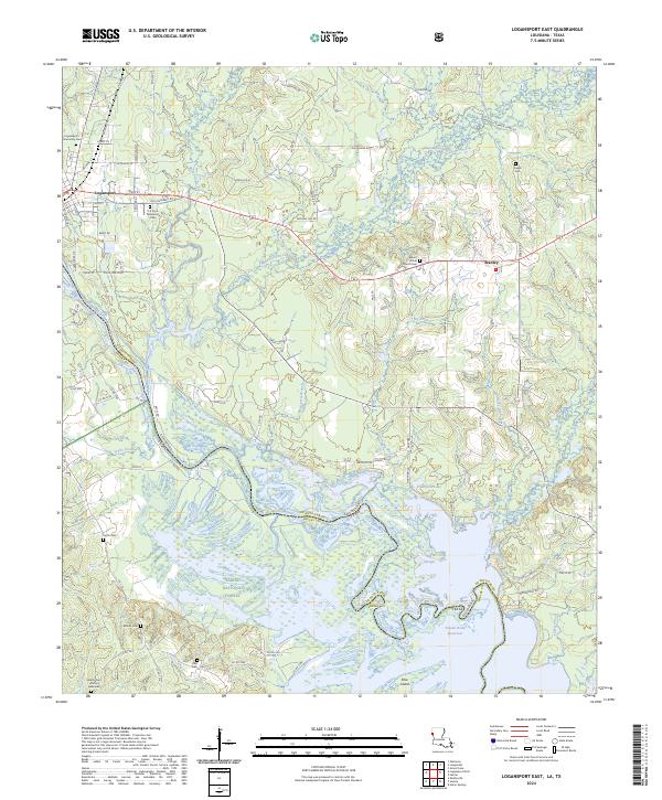 2024 Logansport East2024 Print · USGSThe Louisiana-Texas borderlands come into focus in this contemporary study of the De Soto Parish region. Genealogists can trace several family and community burial sites, including Liberty Cem African American, Ashton Cem, and Creech Cem.
End of results
Showing maps 1-25 of 25
Top cities of Shelby County
- Center historical maps
- Timpson historical maps
- Tenaha historical maps
- Joaquin historical maps
- Huxley historical maps
Frequently asked questions
- What are the different types of historical maps available for Shelby County?
- What is the oldest map of Shelby County?
- Where can I purchase historical maps of Shelby County for my home or office?
- Where can I download high-res historical maps of Shelby County?
- Are there historical topographic maps available for Shelby County?
- Is there historical aerial imagery available for Shelby County?
- Where are historical maps of Shelby County sourced from?