Old Maps of Shelby County, Texas for Hiking & Exploration
Hike through history with 160 historic maps of Shelby County. Explore old trails, ghost towns, and forgotten backroads — perfect for outdoor adventurers and local explorers.
- Rediscover forgotten places: Map out old mining camps, roads, and footpaths that no longer exist on modern maps.
- Layer with modern tools: Combine with LiDAR or satellite views to plan hikes through historical terrain.
- Made for exploration: Popular among hikers, overlanders, and local history lovers.
Use these maps to find adventure and explore the hidden past of Shelby County.
Shelby County, TX maps
(160)- 1944 Map of Logansport
 1944 Logansport1944 Print · USGSDe Soto and Sabine Parishes are shown in the early 1940s as the Sabine River snakes through a landscape of bayous and forest. Genealogists and local historians can trace family roots through numerous sites like Prude Cem, Morning Glory Sch, and Pauls Store.
 - 1944 Map of Patroon
 1944 Patroon1944 Print · USGSThe Sabine River bottomlands at the Texas-Louisiana border come to life in this mid-century survey of Shelby County. Researchers can locate vanished landmarks like the Patroon CCC Camp, rural stores at Jordans Store, and local gathering places like Beech Grove Ch.2 unique versions available
 - 1953 Map of Alexandria, 1963 Print
 1953 Alexandria1963 Print · USGSCentral Louisiana during the early fifties is mapped here at the intersection of the piney woods and the Red River valley. Genealogists and historians can trace the rail-and-river network connecting towns like Alexandria, Natchitoches, and the grounds of Camp Beauregard.3 unique versions available
 - 1953 Map of Palestine, 1964 Print
 1953 Palestine1964 Print · USGSEast Texas was defined by its deep pine forests and burgeoning energy sector in the mid-1950s. Genealogists and historians can trace the rail-and-river economy through settlements like Tennessee Colony and Pollok or explore the early footprints of the Cayuga Oil Field and Davy Crockett National Forest.2 unique versions available
 - 1955 Map of Alexandria
 1955 Alexandria1955 Print · USGSCentral Louisiana in the mid-fifties is a landscape of river-port cities, sprawling timberlands, and massive military reservations. Genealogists and historians can trace the rail networks of the Texas & Pacific RR and locate sites like Camp Polk Military Reservation and Natchitoches.
 - 1956 Map of Logansport, 1957 Print
 1956 Logansport1957 Print · USGSDe Soto Parish and the Texas borderlands come alive in this mid-century survey of the Sabine River valley. Genealogists can trace local landmarks like Pauls Store, Mt Olivet Ch, and the Third Ward Sch across a landscape of rails and river bends.4 unique versions available
 - 1956 Map of Patroon, 1957 Print
 1956 Patroon1957 Print · USGSThe Texas-Louisiana borderlands along the Sabine River are captured here in the mid-1950s, showing a landscape of river bends and pine forests. Genealogists can trace family footprints through rural sites like Bulls Ankle, Ragtown, and Harvey Cem.4 unique versions available
 - 1957 Map of Palestine
 1957 Palestine1957 Print · USGSEast Texas in the mid-fifties reveals a landscape of deep pine forests and winding river valleys before the era of massive reservoir construction. Researchers can trace the legacy of the timber and rail industries through labels for the Missouri Pacific RR, Davy Crockett National Forest, and Nacogdoches.
 - 1958 Map of Center, 1959 Print
 1958 Center1959 Print · USGSShelby County in the late fifties remains a landscape of timbered hills and rail-connected crossroads. Researchers can trace family roots through numerous rural sites like Newhope Ch, Union Cem, and the small community of Shelbyville near the Sabine River.3 unique versions available
 - 1958 Map of San Augustine, 1959 Print
 1958 San Augustine1959 Print · USGSSan Augustine County in the late fifties was a landscape of timber and tradition, where El Camino Real still traced its ancient path. Genealogists can locate dozens of rural landmarks, from Bland Lake to the Chumley Cem and Neuville Sch.2 unique versions available
 - 1958 Map of Martinsville, 1959 Print
 1958 Martinsville1959 Print · USGSNacogdoches County in the late 1950s is defined by the historic path of El Camino Real and the winding Attoyac Bayou. Researchers can trace old family sites at Sacred Heart Ch, Libby Cem, and the rural community of Martinsville.2 unique versions available
 - 1958 Map of Timpson, 1959 Print
 1958 Timpson1959 Print · USGSShelby and Nacogdoches counties appear here during the late fifties, defined by a landscape of small timber-and-oil settlements and diverging rail lines. Genealogists can locate family landmarks such as Todd Spring Ch, Huber Sch, and Lake Timpson.2 unique versions available
 - 1960 Map of Mount Enterprise, 1962 Print
 1960 Mount Enterprise1962 Print · USGSMount Enterprise and the surrounding Piney Woods of East Texas are captured here at the dawn of the 1960s. Genealogists and historians can trace family locations through numerous rural landmarks like Isabell Chapel, Caledonia, and the Helpenstell Cemetery.2 unique versions available
 - 1984 Map of Union Springs
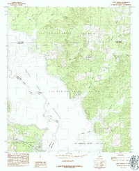 1984 Union Springs1984 Print · USGSThe Louisiana-Texas borderlands are defined by the rising waters of the Toledo Bend Reservoir in this mid-eighties survey. Family historians can trace colonial property lines in the Las Ormigas Grant and locate the settlement of Union Springs.
 - 1984 Map of Brushy Creek
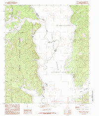 1984 Brushy Creek1984 Print · USGSThe Sabine River and Toledo Bend Reservoir define this 1980s borderland between Texas and Louisiana. Genealogists and historians can trace old property lines within the Sabine National Forest and locate the historic Las Ormigas Grant Lot No 1.
 - 1984 Map of East Hamilton
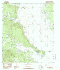 1984 East Hamilton1984 Print · USGSThe Texas-Louisiana borderlands appear in the mid-eighties as the forest meets the massive waters of the Toledo Bend Reservoir. Researchers can trace old family sites near East Hamilton and Isla or locate cemeteries along the Patroon Bayou.
 - 1984 Map of Huxley
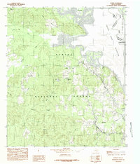 1984 Huxley1984 Print · USGSThe Texas-Louisiana borderlands in the early 1980s are defined here by the intersection of the Sabine National Forest and the Toledo Bend Reservoir. Genealogists and local historians can trace the corporate limits of Huxley and locate family-named landmarks like Mason Lake and Star Spring.
 - 1984 Map of Logansport East
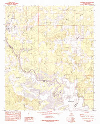 1984 Logansport East1984 Print · USGSThe Louisiana-Texas borderlands in the early eighties were defined by the rising waters of the Toledo Bend Reservoir. Local historians can trace the creek-side settlements of Stanley and Logansport or locate family-named landmarks like Cawthorn Lake and Southerland Bottom.
 - 1984 Map of Palestine
 1984 Palestine1984 Print · USGSEast Texas in the mid-eighties reveals a landscape of massive reservoirs and protected timberlands between Palestine and Nacogdoches. Researchers can trace old routes like the Missouri Pacific RR and locate rural communities such as Tennessee Colony, Latexo, and Etoile.3 unique versions available
 - 1984 Map of Logansport West
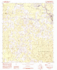 1984 Logansport West1984 Print · USGSThe borderlands along the Sabine River in the mid-1980s show a region shaped by timber and the Toledo Bend Reservoir. Local researchers can trace family lands near Joaquin, Logansport, and the rural community of Fellowship.
 - 1984 Map of Center, 1985 Print
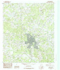 1984 Center1985 Print · USGSShelby County's seat is shown during a period of steady growth in the mid-eighties, balancing its rural roots with modern infrastructure. Local historians can trace the town's footprint from the Municipal Airport to landmarks like the Drive-In Theater and Rodeo Ground.
 - 1984 Map of San Augustine East, 1985 Print
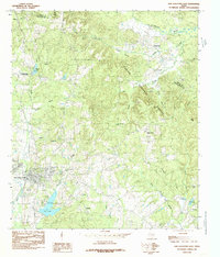 1984 San Augustine East1985 Print · USGSSan Augustine and the surrounding timberlands are captured here in the early 1980s as the town grew toward the forest edge. Researchers can trace rural lineages through local place names like Black Ankle, Lanetown, and White Rock.
 - 1984 Map of Hurstown, 1985 Print
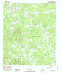 1984 Hurstown1985 Print · USGSShelby County in the mid-1980s is shown here as a landscape of deep timber and winding bayous. Genealogists and local historians can trace the rural communities of Hurstown and East Liberty, or locate landmarks like Doggett Spring and Big Hill.
 - 1984 Map of Tenaha East, 1985 Print
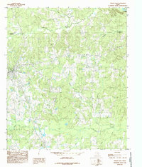 1984 Tenaha East1985 Print · USGSShelby County near the Sabine River valley comes into focus during the mid-1980s, showing a landscape defined by timber and transit. Researchers can trace the rail-side growth of Tenaha and Paxton or locate family-named landmarks like Woods Ch and Mc Faddin.
 - 1984 Map of Garrison East, 1985 Print
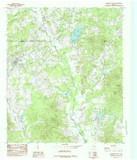 1984 Garrison East1985 Print · USGSEast Texas ranching and timber country is well-defined in the 1980s as the borders of Rusk and Shelby counties meet. Researchers can trace rural settlement patterns at Garrison, locate old homesteads near Silas, and find family landmarks along the Attoyac River.
Showing maps 1-25 of 160
Top cities of Shelby County
- Center historical maps
- Timpson historical maps
- Tenaha historical maps
- Joaquin historical maps
- Huxley historical maps
Frequently asked questions
- What are the different types of historical maps available for Shelby County?
- What is the oldest map of Shelby County?
- Where can I purchase historical maps of Shelby County for my home or office?
- Where can I download high-res historical maps of Shelby County?
- Are there historical topographic maps available for Shelby County?
- Is there historical aerial imagery available for Shelby County?
- Where are historical maps of Shelby County sourced from?