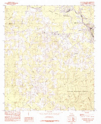
1984 Map of Logansport West
USGS Topo · Published 1984About this map
The Sabine River serves as the primary geographic corridor on this survey, marking the boundary where Louisiana and Texas meet. The 1984 data reflects a landscape defined by the expansive Toledo Bend Reservoir and the dense woodlands of the Sabine National Forest. Settlements like Joaquin and Haslam are clustered along the rail and highway corridor near the river crossing, while smaller named locales such as Fellowship and Jackson are situated further into the interior hills. The mapping reveals a complex network of drainage, where numerous creeks like Moorman Creek and Jumping Doe Creek feed into the river system. This period captures the region as a settled timber and water-rich borderland, characterized by small town centers and significant federal forest lands.
Find a feature on this map
29 named features on this map. Tap any name to fly to it.
Don’t see what you’re looking for? This feature index may not catch every label — zoom into the map to look around manually.
Map Details
Editions of this 1984 Logansport West Map
This is the sole edition of this map. No revisions or reprints were ever made.
Other maps of this area

1944 · Logansport
USGS Topo · 1:62,500

1945 · Grand Cane
USGS Topo · 1:62,500

1945 · Socagee Bayou
USGS Topo · 1:62,500

1953 · Alexandria
USGS Topo · 1:250,000

1953 · Palestine
USGS Topo · 1:250,000

1955 · Shreveport
USGS Topo · 1:250,000

1955 · Alexandria
USGS Topo · 1:250,000

1956 · Shreveport
USGS Topo · 1:250,000

1956 · Tyler
USGS Topo · 1:250,000

1956 · Logansport
USGS Topo · 1:62,500