2010s Maps of Colleyville, Texas
Explore 16 historic maps of Colleyville from the 2010s. These maps offer a rare glimpse into what life looked like during the 2010s — showing old roads, neighborhoods, homes, and landmarks that have changed or disappeared over time.
Whether you're researching your family's past, planning a metal detecting trip, or studying how Colleyville's landscape evolved across the 2010s, these high-resolution maps are a powerful tool for exploring the history of this region.
- Focus on a specific era: All maps on this page are from the 2010s, giving you a focused view of this time period.
- See what’s changed: Compare century-old streets, trails, and buildings to today's modern landscape using overlays and satellite layers.
- Research with precision: Use these maps for genealogy, historical research, land use analysis, or educational projects.
- View, download, or print: Maps are fully viewable online in high resolution, and can be downloaded or printed for your own records.
Start exploring Colleyville's history through authentic maps from the 2010s. This is your window into the past.
Colleyville, TX maps
(16)- 2010 Map of Grapevine, 2010 Print
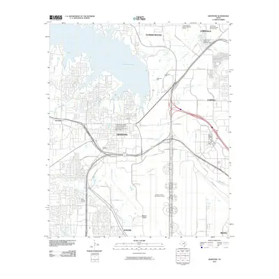 2010 Grapevine2010 Print · USGSThe Grapevine area in the early 2010s reveals a landscape of historic town centers alongside massive infrastructure projects like the DFW airport. Genealogists and local historians can trace legacy sites like Parker Memorial Cemetery and Minters Chapel.
- 2010 Map of Euless, 2010 Print
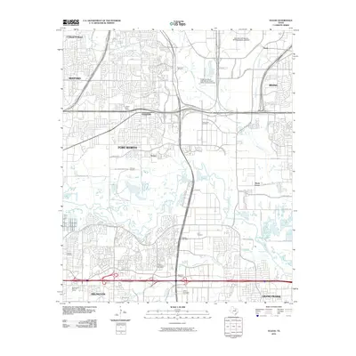 2010 Euless2010 Print · USGSThe Dallas-Fort Worth metroplex is shown in a phase of dense modern expansion during the early twenty-first century. Genealogists and local historians can trace legacy sites like Bear Creek Cemetery and Estelle preserved alongside Dallas-Fort Worth International Airport.
- 2010 Map of Hurst, 2010 Print
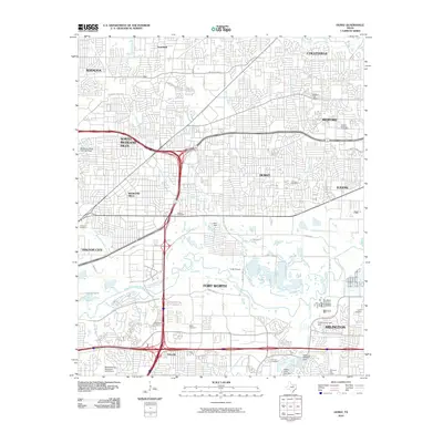 2010 Hurst2010 Print · USGSThe Mid-Cities of Tarrant County are shown in their fully developed suburban state during the early 21st century. Researchers can trace local heritage through numerous family cemeteries like White Cemetery and Tomlin Cemetery or find former hubs like Smithfield and Ederville.
- 2010 Map of Colleyville, 2010 Print
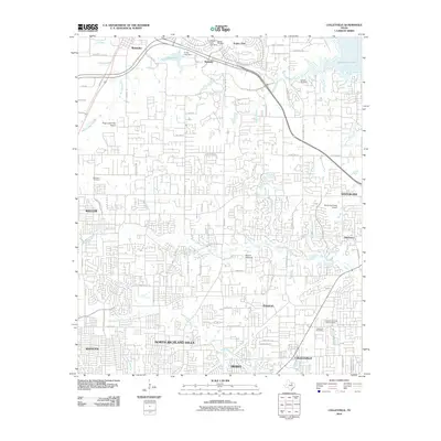 2010 Colleyville2010 Print · USGSTarrant County at the start of the 2010s shows a landscape of growing suburban communities and preserved local landmarks. Trace the locations of historic burial grounds like Medlin Cemetery and Bourland Cemetery, or find the old sites of Bransford and Old Union.
- 2012 Map of Colleyville, 2012 Print
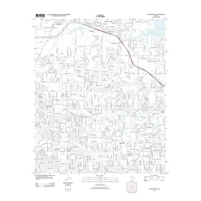 2012 Colleyville2012 Print · USGSThe northern suburbs of the Dallas-Fort Worth metroplex are shown here during a period of rapid development. Genealogists and local historians can trace family roots through Medlin Cem, the site of Bransford, and the grounds of Bluebonnet Hills Memorial Park.
- 2012 Map of Grapevine, 2012 Print
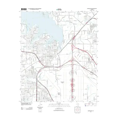 2012 Grapevine2012 Print · USGSGrapevine and Irving are shown here during a period of massive infrastructure growth and historic preservation. Genealogists and local researchers can trace the early community at Parker Memorial Cem or explore the Grapevine Original Town Residential Historic District.
- 2012 Map of Hurst, 2012 Print
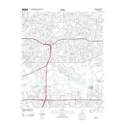 2012 Hurst2012 Print · USGSGreater Fort Worth is shown at a time of significant suburban density during the early 2010s. Researchers can locate several historical burial sites like Ray-Manship Cem and White Cem while tracing the path of the W Fork Trinity River.
- 2013 Map of Euless, 2013 Print
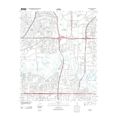 2013 Euless2013 Print · USGSThe Tarrant County suburbs and the massive footprint of DFW Airport are captured in this 2013 survey. Genealogists can trace family sites at Bear Creek Cem and Haley Cem while following the path of the W Fork Trinity River.
- 2016 Map of Hurst, 2016 Print
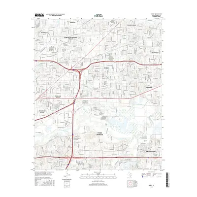 2016 Hurst2016 Print · USGSMid-Cities development in Tarrant County is captured here during a period of significant suburban maturity. Researchers can locate several historic burial sites like Arwine Cem and Ray-Manship Cem along with the natural course of the West Fork Trinity River.
- 2016 Map of Euless, 2016 Print
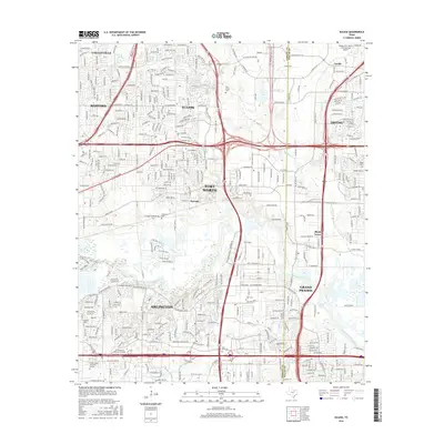 2016 Euless2016 Print · USGSThe Mid-Cities region of North Texas is captured here during a period of rapid suburban and industrial infill. Genealogists and local historians can trace family plots at Calloway Cemetery, Ford Cem, and the historic Estelle community area.
- 2016 Map of Grapevine, 2016 Print
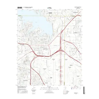 2016 Grapevine2016 Print · USGSThe North Texas suburbs and the sprawling aviation complex are in full development during the mid-2010s. Researchers can trace the path of Denton Cr or locate local landmarks like Minters Chapel and the Parker Memorial Cem.
- 2016 Map of Colleyville, 2016 Print
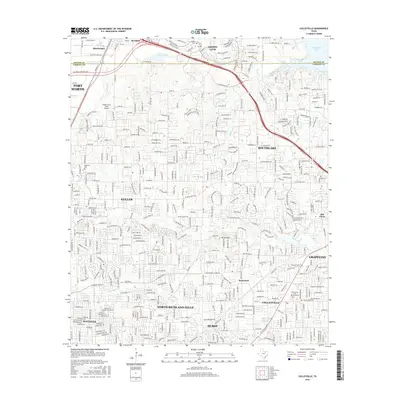 2016 Colleyville2016 Print · USGSTarrant and Denton Counties are shown at a peak of suburban growth during the mid-2010s, bridging the gap between Fort Worth and Grapevine. Genealogists and local historians can locate several burial sites including Medlin Cem and Bourland Cem, or trace older community centers like Old Union and Bransford.
- 2019 Map of Hurst, 2019 Print
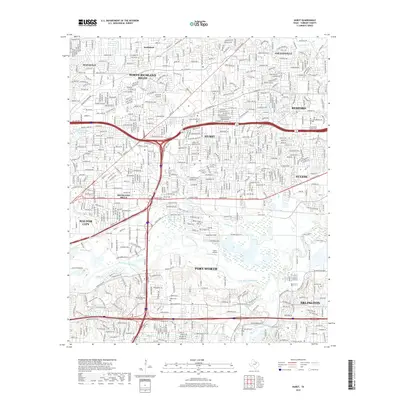 2019 Hurst2019 Print · USGSTarrant County's Mid-Cities region is shown here at the peak of its suburban expansion between Fort Worth and Arlington. Researchers can trace local history through family-named sites like Arwine Cem and the Ray-Manship Cem along the West Fork Trinity River.
- 2019 Map of Euless, 2019 Print
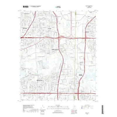 2019 Euless2019 Print · USGSIn the late 2010s, this area at the Tarrant and Dallas county line shows the massive scale of the Dallas-Fort Worth International Airport. Researchers can trace the development around old community sites like Estelle and Shady Grove or locate family history at Calloway Cem and Ford Cem.
- 2019 Map of Grapevine, 2019 Print
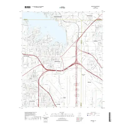 2019 Grapevine2019 Print · USGSThe northern gateway to the Metroplex is defined here by the intersection of three counties and the massive infrastructure of the modern era. Trace the local history of Grapevine and Coppell near landmarks like Minters Chapel and the Parker Memorial Cem.
- 2019 Map of Colleyville, 2019 Print
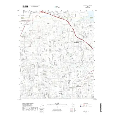 2019 Colleyville2019 Print · USGSTarrant and Denton counties are shown in a state of rapid suburban maturity during the late 2010s. Researchers can locate long-standing landmarks like the Bourland Cem or trace the Union Pacific RR through Bransford and Roanoke.
End of results
Showing maps 1-16 of 16
Top cities near Colleyville
- Dallas historical maps
- Fort Worth historical maps
- Arlington historical maps
- Irving historical maps
- Frisco historical maps
- Grand Prairie historical maps
See more
Top neighborhoods of Colleyville
Frequently asked questions
- What are the different types of historical maps available for Colleyville?
- What is the oldest map of Colleyville?
- Where can I purchase historical maps of Colleyville for my home or office?
- Where can I download high-res historical maps of Colleyville?
- Are there historical topographic maps available for Colleyville?
- Is there historical aerial imagery available for Colleyville?
- Where are historical maps of Colleyville sourced from?