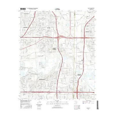
2016 Map of Euless
USGS Topo · Published 2016About this map
Euless sits at the center of this 2016 survey, representing a densely developed segment of the Mid-Cities region where Tarrant and Dallas counties meet. The landscape is defined by the convergence of major transit corridors and the winding path of the West Fork Trinity River. While modern residential subdivisions and industrial blocks dominate the area, historical markers persist in the form of several small burial grounds. Local heritage is preserved at sites like Calloway Cemetery and Bear Creek Cem, which stand as quiet anchors amidst the suburban growth of Bedford and Irving. The southern portion of the map highlights the recreational and educational expansion of Arlington, featuring the River Legacy parklands and the ITT Technical Institute-Arlington campus. This map captures the intricate balance between high-density urbanization and the preservation of riparian corridors like Big Bear Cr and Johnson Cr.
Find a feature on this map
367 named features on this map. Tap any name to fly to it.
Don’t see what you’re looking for? This feature index may not catch every label — zoom into the map to look around manually.
Map Details
Editions of this 2016 Euless Map
This is the sole edition of this map. No revisions or reprints were ever made.
Other maps of this area

1891 · Dallas
USGS Topo · 1:125,000

1893 · Dallas
USGS Topo · 1:125,000

1894 · Fort Worth
USGS Topo · 1:125,000

1925 · Dallas 2-b
USGS Topo · 1:48,000

1931 · Carrollton
USGS Topo · 1:62,500

1931 · Grapevine
USGS Topo · 1:62,500

1954 · Dallas
USGS Topo · 1:250,000

1958 · Dallas
USGS Topo · 1:250,000

1959 · Kennedale
USGS Topo · 1:24,000

1959 · Arlington
USGS Topo · 1:24,000