2000s (21st Century) Maps of Fort Worth, Texas
Explore 90 historic maps of Fort Worth from the 2000s (21st Century). These maps offer a rare glimpse into what life looked like during the 2000s — showing old roads, neighborhoods, homes, and landmarks that have changed or disappeared over time.
Whether you're researching your family's past, planning a metal detecting trip, or studying how Fort Worth's landscape evolved across the 2000s, these high-resolution maps are a powerful tool for exploring the history of this region.
- Focus on a specific era: All maps on this page are from the 2000s, giving you a focused view of this time period.
- See what’s changed: Compare century-old streets, trails, and buildings to today's modern landscape using overlays and satellite layers.
- Research with precision: Use these maps for genealogy, historical research, land use analysis, or educational projects.
- View, download, or print: Maps are fully viewable online in high resolution, and can be downloaded or printed for your own records.
Start exploring Fort Worth's history through authentic maps from the 2000s. This is your window into the past.
Fort Worth, TX maps
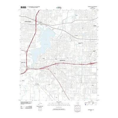
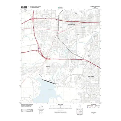
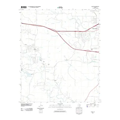
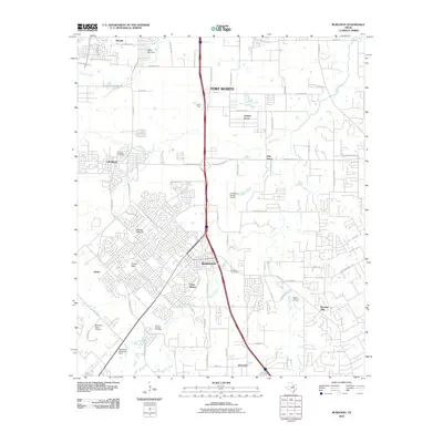
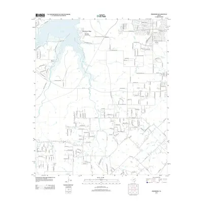
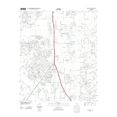
(90)- 2010 Map of Fort Worth, 2010 Print
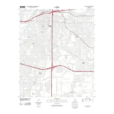 2010 Fort Worth2010 Print · USGSCovers Fort Worth, including Forest Hill, Everman, and other nearby areas
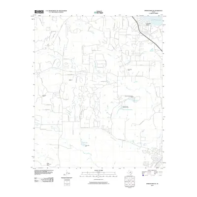
 - 2010 Map of Mansfield, 2010 Print
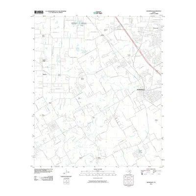 2010 Mansfield2010 Print · USGSCovers Fort Worth, including Arlington, Mansfield, and other nearby areas
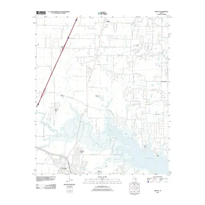
 - 2010 Map of Rhome, 2010 Print
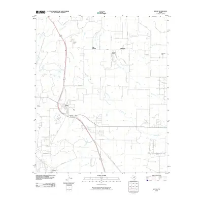 2010 Rhome2010 Print · USGSCovers Fort Worth, including Rhome, Aurora, and other nearby areas
 - 2010 Map of Euless, 2010 Print
 2010 Euless2010 Print · USGSCovers Fort Worth, including Arlington, Irving, and other nearby areas
 - 2010 Map of Lake Worth, 2010 Print
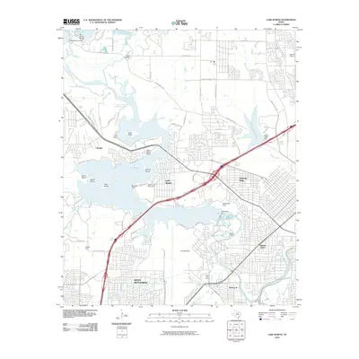 2010 Lake Worth2010 Print · USGSCovers Fort Worth, including Saginaw, White Settlement, and other nearby areas
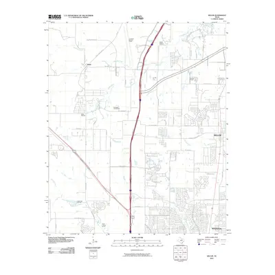
 - 2010 Map of Justin, 2010 Print
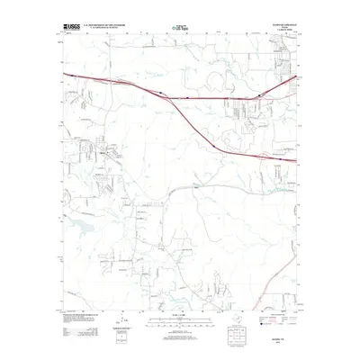
 2010 Justin2010 Print · USGSCovers Fort Worth, including Roanoke, Justin, and other nearby areas
 - 2010 Map of Kennedale, 2010 Print
 2010 Kennedale2010 Print · USGSCovers Fort Worth, including Arlington, Forest Hill, and other nearby areas
 - 2010 Map of Keller, 2010 Print
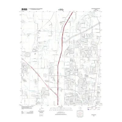
 2010 Keller2010 Print · USGSCovers Fort Worth, including Keller, Watauga, and other nearby areas
 - 2010 Map of Benbrook, 2010 Print
 2010 Benbrook2010 Print · USGSCovers Fort Worth, including Benbrook, White Settlement, and other nearby areas
 - 2010 Map of Hurst, 2010 Print
 2010 Hurst2010 Print · USGSCovers Fort Worth, including Arlington, North Richland Hills, and other nearby areas
 - 2010 Map of Avondale, 2010 Print
 2010 Avondale2010 Print · USGSCovers Fort Worth, including Saginaw, Pecan Acres, and other nearby areas
 - 2010 Map of Primrose, 2010 Print
 2010 Primrose2010 Print · USGSCovers Fort Worth, including Burleson, Crowley, and other nearby areas
 - 2010 Map of Aledo, 2010 Print
 2010 Aledo2010 Print · USGSCovers Fort Worth, including Benbrook, Willow Park, and other nearby areas
 - 2010 Map of Springtown SE, 2010 Print
 2010 Springtown SE2010 Print · USGSCovers Fort Worth, including Azle, Lakeside, and other nearby areas
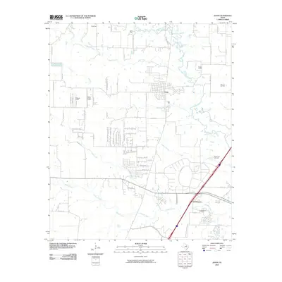
 - 2010 Map of Argyle, 2010 Print
 2010 Argyle2010 Print · USGSCovers Fort Worth, including Denton, Flower Mound, and other nearby areas
 - 2010 Map of Haltom City, 2010 Print
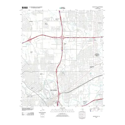 2010 Haltom City2010 Print · USGSCovers Fort Worth, including North Richland Hills, Haltom City, and other nearby areas
 - 2010 Map of Burleson, 2010 Print
 2010 Burleson2010 Print · USGSCovers Fort Worth, including Burleson, Crowley, and other nearby areas
 - 2010 Map of Colleyville, 2010 Print
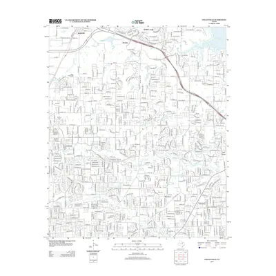
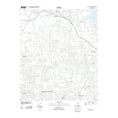 2010 Colleyville2010 Print · USGSCovers Fort Worth, including North Richland Hills, Grapevine, and other nearby areas
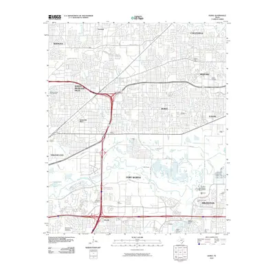
 - 2012 Map of Mansfield, 2012 Print
 2012 Mansfield2012 Print · USGSCovers Fort Worth, including Arlington, Mansfield, and other nearby areas
 - 2012 Map of Keller, 2012 Print
 2012 Keller2012 Print · USGSCovers Fort Worth, including Keller, Watauga, and other nearby areas
 - 2012 Map of Primrose, 2012 Print
 2012 Primrose2012 Print · USGSCovers Fort Worth, including Burleson, Crowley, and other nearby areas
 - 2012 Map of Colleyville, 2012 Print
 2012 Colleyville2012 Print · USGSCovers Fort Worth, including North Richland Hills, Grapevine, and other nearby areas
 - 2012 Map of Aledo, 2012 Print
 2012 Aledo2012 Print · USGSCovers Fort Worth, including Benbrook, Willow Park, and other nearby areas
 - 2012 Map of Fort Worth, 2012 Print
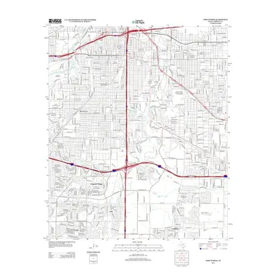 2012 Fort Worth2012 Print · USGSCovers Fort Worth, including Forest Hill, Everman, and other nearby areas
 - 2012 Map of Burleson, 2012 Print
 2012 Burleson2012 Print · USGSCovers Fort Worth, including Burleson, Crowley, and other nearby areas
Showing maps 1-25 of 90
Top cities near Fort Worth
- Arlington historical maps
- Flower Mound historical maps
- North Richland Hills historical maps
- Mansfield historical maps
- Euless historical maps
- Grapevine historical maps
See more
Top neighborhoods of Fort Worth
- Eagle Mountain historical maps
- Tarrant historical maps
- Lytle historical maps
- Melody Hills historical maps
- Primrose historical maps
- Iona historical maps
See more
Frequently asked questions
- What are the different types of historical maps available for Fort Worth?
- What is the oldest map of Fort Worth?
- Where can I purchase historical maps of Fort Worth for my home or office?
- Where can I download high-res historical maps of Fort Worth?
- Are there historical topographic maps available for Fort Worth?
- Is there historical aerial imagery available for Fort Worth?
- Where are historical maps of Fort Worth sourced from?