2020s Maps of Fort Worth, Texas
Explore 18 historic maps of Fort Worth from the 2020s. These maps offer a rare glimpse into what life looked like during the 2020s — showing old roads, neighborhoods, homes, and landmarks that have changed or disappeared over time.
Whether you're researching your family's past, planning a metal detecting trip, or studying how Fort Worth's landscape evolved across the 2020s, these high-resolution maps are a powerful tool for exploring the history of this region.
- Focus on a specific era: All maps on this page are from the 2020s, giving you a focused view of this time period.
- See what’s changed: Compare century-old streets, trails, and buildings to today's modern landscape using overlays and satellite layers.
- Research with precision: Use these maps for genealogy, historical research, land use analysis, or educational projects.
- View, download, or print: Maps are fully viewable online in high resolution, and can be downloaded or printed for your own records.
Start exploring Fort Worth's history through authentic maps from the 2020s. This is your window into the past.
Fort Worth, TX maps
(18)- 2022 Map of Justin, 2022 Print
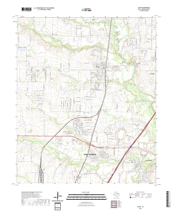 2022 Justin2022 Print · USGSDenton County's landscape at the start of the 2020s shows a unique intersection of Texas ranching roots and modern aviation. Trace local family histories at Justin Cem or explore the many airfields like Propwash Airport and Dooley Airport that dot the plains.
 - 2022 Map of Argyle, 2022 Print
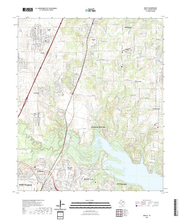 2022 Argyle2022 Print · USGSDenton County at the start of the 2020s shows the continued growth of suburban communities along the northern shores of the lake. Researchers can locate early family landmarks like the Jeter Family Cem and Prairie Mound Cem or trace the drainage of Denton Creek.
 - 2022 Map of Rhome, 2022 Print
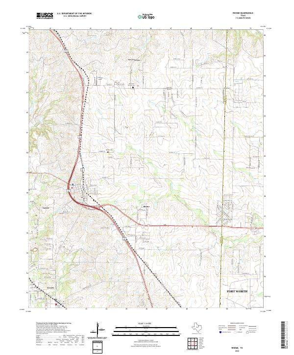 2022 Rhome2022 Print · USGSNorth Texas prairie life meets modern aviation in the early 2020s as the communities of Wise County continue to grow. Genealogists and historians can trace local roots at Thurmond Fairview Cem or follow the path of the legendary Chisolm Trl.
 - 2022 Map of Hurst, 2022 Print
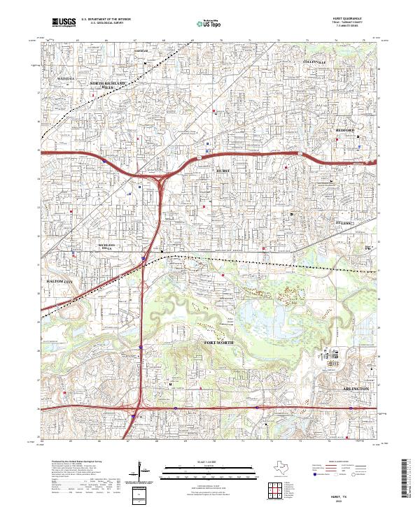 2022 Hurst2022 Print · USGSTarrant County's Mid-Cities are shown in their modern suburban form as the Dallas-Fort Worth metroplex expanded. Local historians can trace old landmarks like Smithfield, the Fuller Airport, and numerous family burial grounds including Isham Cem.
 - 2022 Map of Mansfield, 2022 Print
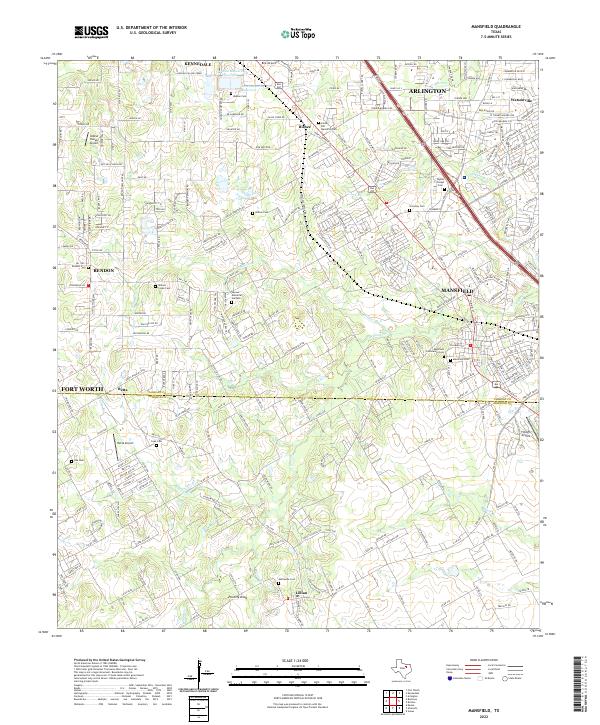 2022 Mansfield2022 Print · USGSMansfield and the surrounding suburban reaches of Tarrant and Johnson counties are captured here at a moment of rapid modern growth. Researchers can locate numerous historic burial sites such as Wyatts Chapel Cemetery, the high point of Poverty Knob, and local landmarks like Birk Airport.
 - 2022 Map of Benbrook, 2022 Print
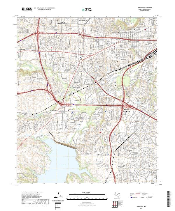 2022 Benbrook2022 Print · USGSTarrant County's western suburbs and the waters of the Trinity River are captured here in the early 2020s. Researchers can trace modern property lines and infrastructure alongside local landmarks like Benbrook Cem, Union Pacific RR, and the shores of Benbrook Lake.
 - 2022 Map of Springtown SE, 2022 Print
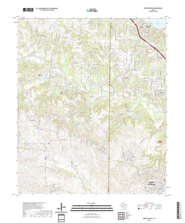 2022 Springtown SE2022 Print · USGSThe border of Parker and Tarrant counties comes into focus in the early 2020s, showing the residential growth surrounding the city of Azle. Genealogists can locate family-named sites like Murr - Copeland Cem or trace the drainage of Live Oak Creek and Marys Creek.
 - 2022 Map of Aledo, 2022 Print
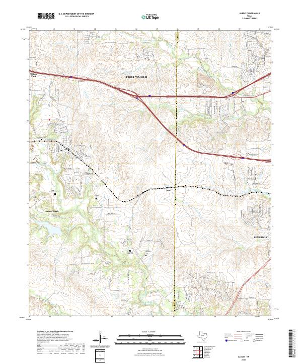 2022 Aledo2022 Print · USGSParker County's rolling hills meet the expanding western reach of the Metroplex in this detailed contemporary record. Local historians can trace family lineages through the Aledo - Brown Cem and Underwood Cem while mapping the growth of Aledo and Iona.
 - 2022 Map of Primrose, 2022 Print
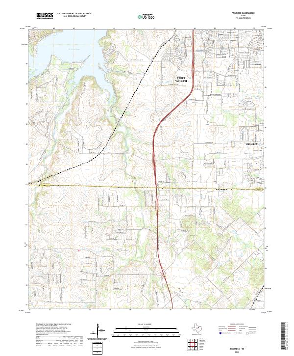 2022 Primrose2022 Print · USGSTarrant and Johnson Counties are seen here during a period of rapid modern growth south of the Metroplex. Researchers can trace the intersection of new developments with older landmarks like the Evans Cem and the waters of Benbrook Lake.
 - 2022 Map of Kennedale, 2022 Print
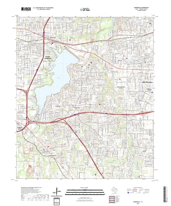 2022 Kennedale2022 Print · USGSThe suburban landscape between Fort Worth and Arlington is captured here during a period of modern expansion. Genealogists can trace early settler roots at the Noah Cem, Tate Cem, and Johnson Station Cem.
 - 2022 Map of Avondale, 2022 Print
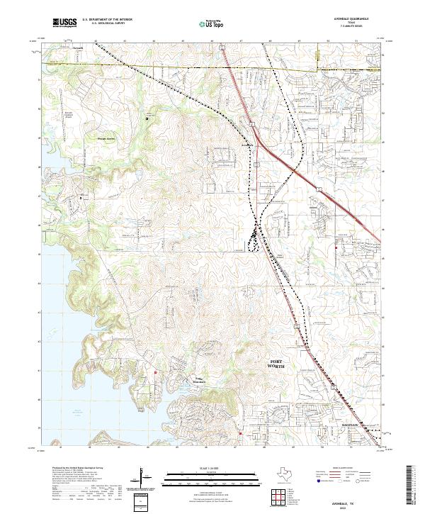 2022 Avondale2022 Print · USGSTarrant County and the fringes of Wise and Denton counties are shown in this recent survey of the North Texas suburbs. Genealogists and local historians can trace the lakeside development near Eagle Mountain Lake or find the grounds of Indian Creek Cem and Dido Cem.
 - 2022 Map of Lake Worth, 2022 Print
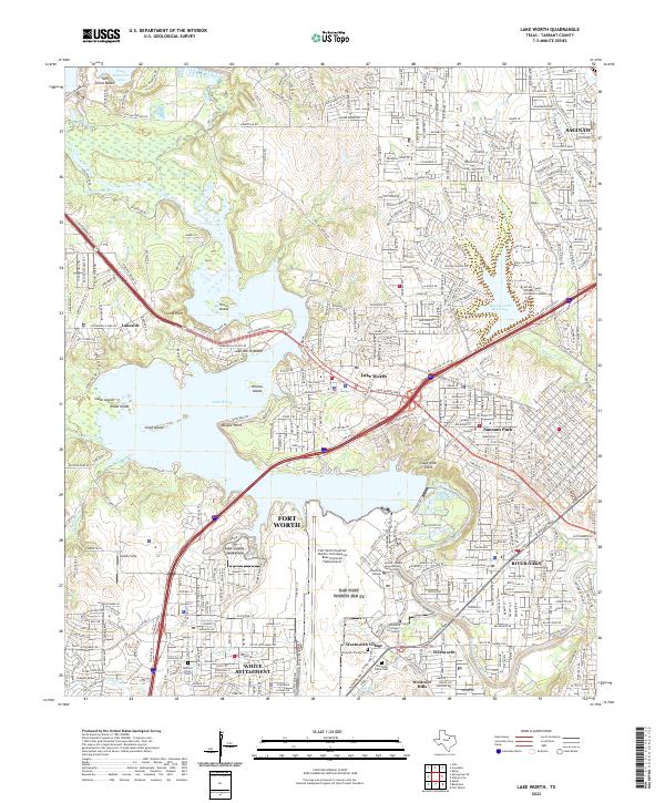 2022 Lake Worth2022 Print · USGSThe northwest Fort Worth corridor comes into focus in this recent survey, centered on the strategic Fort Worth Naval Air Station Joint Reserve Base (Carswell Field) Airport. Researchers can trace old family sites at Thompson Family Cem or explore the shorelines of Lake Worth and Greer Island.
 - 2022 Map of Burleson, 2022 Print
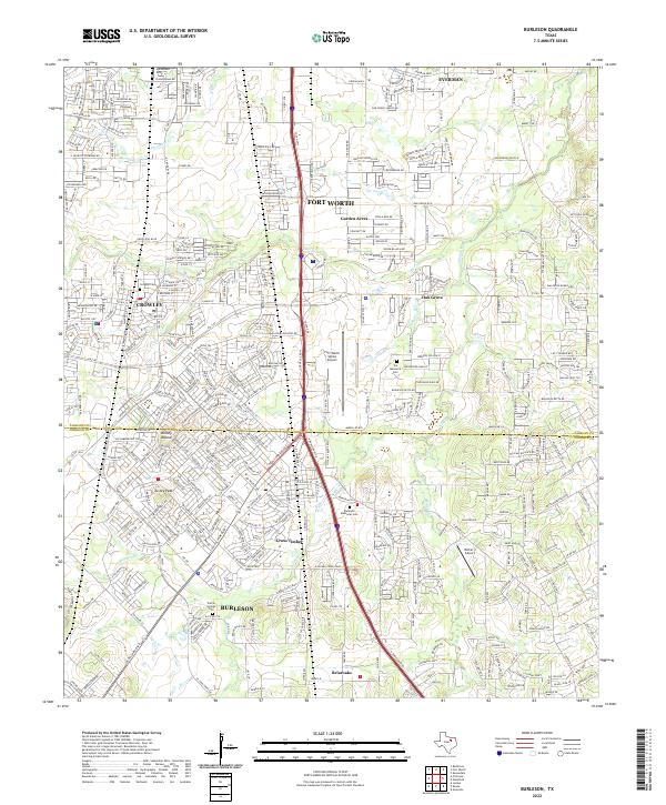 2022 Burleson2022 Print · USGSTarrant and Johnson Counties represent a dynamic corridor of North Texas growth in the early twenty-first century. Genealogists and local historians can trace the transition from rural prairie to suburban center through sites like Crowley Cem, Turkey Peak, and Cross Timber.
 - 2022 Map of Fort Worth, 2022 Print
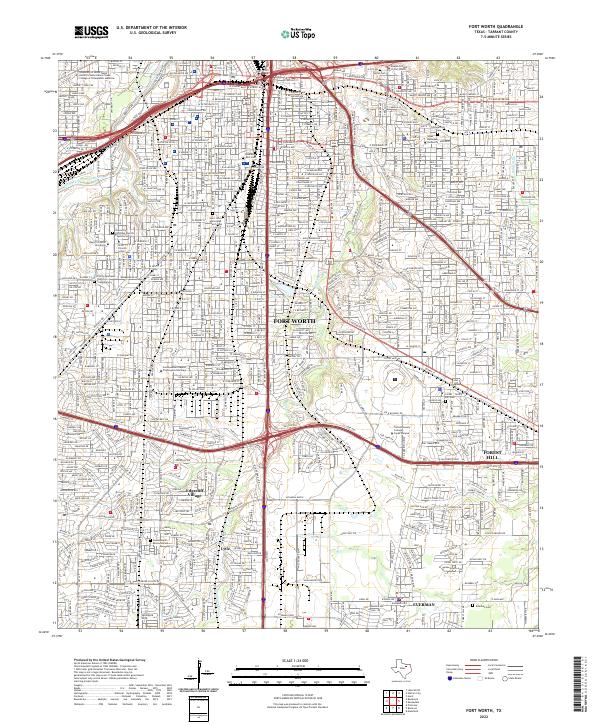 2022 Fort Worth2022 Print · USGSFort Worth and its southern suburbs appear here in the early twenty-first century as a sprawling network of universities and transit corridors. Researchers can locate numerous historic burial grounds including Hebrew Rest Cem and Polytechnic Cem, or trace the grounds of Texas Christian University.
 - 2022 Map of Colleyville, 2022 Print
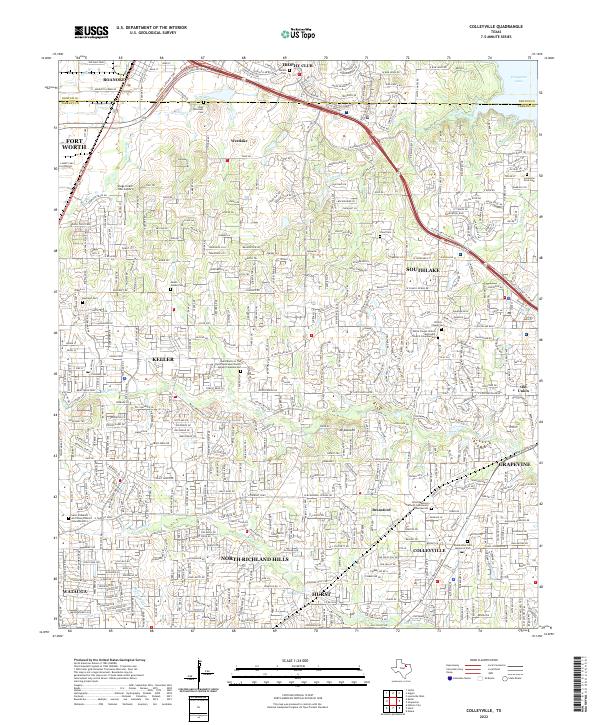 2022 Colleyville2022 Print · USGSNortheast Tarrant County is shown in its modern suburban form, where the growing cities of the Dallas-Fort Worth metroplex meet historical landmarks. Genealogists can trace family sites at Bluebonnet Hills Memorial Park or locate the storied Lonesome Dove Cem near Grapevine Lake.
 - 2022 Map of Euless, 2022 Print
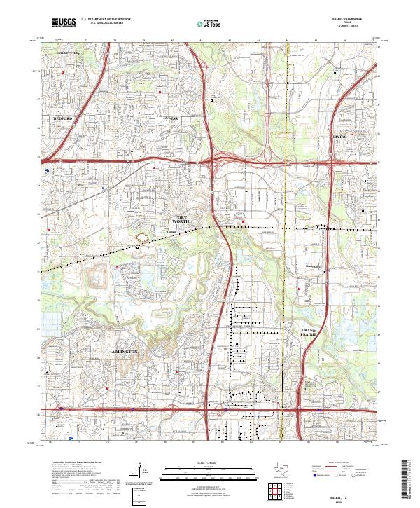 2022 Euless2022 Print · USGSThe mid-cities corridor is shown at its modern peak, where Euless and Irving meet. Genealogists can trace numerous local burial sites like Bear Creek Cem, Calloway Cem, and the Tompkins Cem.
 - 2022 Map of Haltom City, 2022 Print
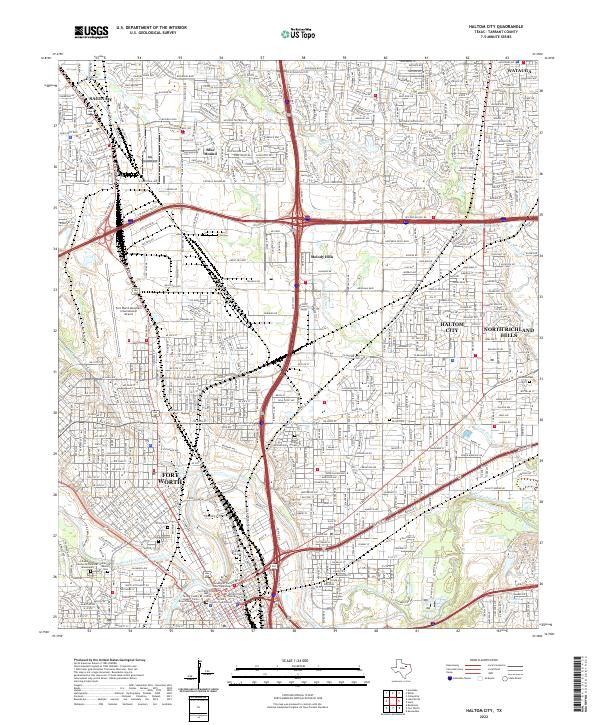 2022 Haltom City2022 Print · USGSThe northern reaches of the Dallas-Fort Worth metroplex are captured here in the early twenty-first century as suburban growth surrounds the historic river forks. Genealogists and local historians can locate several major burial sites, including Mount Olivet Cemetery and Peoples Burial Park, alongside the runways of Meacham International Airport.
 - 2023 Map of Keller, 2023 Print
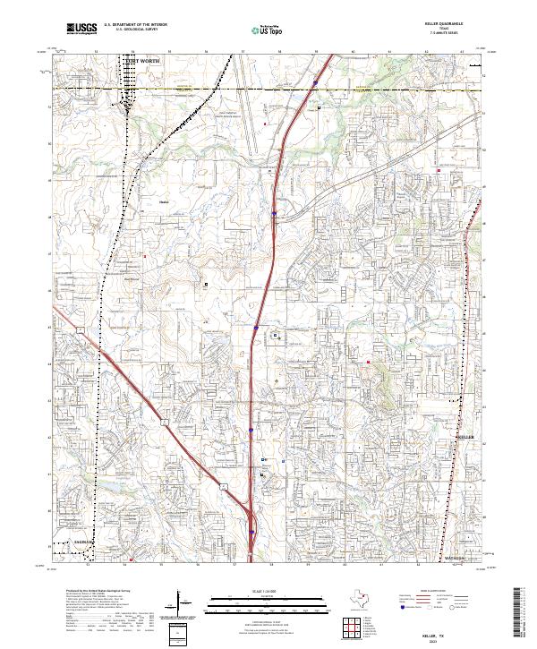 2023 Keller2023 Print · USGSNorthern Fort Worth and the expanding suburbs of Tarrant County are mapped in the early 2020s. Genealogists and local historians can locate early burial sites like Allen Cem and Peterson Family Cem among the runways of Perot Field/Fort Worth Alliance Airport.
End of results
Showing maps 1-18 of 18
Top cities near Fort Worth
- Arlington historical maps
- Flower Mound historical maps
- North Richland Hills historical maps
- Mansfield historical maps
- Euless historical maps
- Grapevine historical maps
See more
Top neighborhoods of Fort Worth
- Eagle Mountain historical maps
- Tarrant historical maps
- Lytle historical maps
- Melody Hills historical maps
- Primrose historical maps
- Iona historical maps
See more
Frequently asked questions
- What are the different types of historical maps available for Fort Worth?
- What is the oldest map of Fort Worth?
- Where can I purchase historical maps of Fort Worth for my home or office?
- Where can I download high-res historical maps of Fort Worth?
- Are there historical topographic maps available for Fort Worth?
- Is there historical aerial imagery available for Fort Worth?
- Where are historical maps of Fort Worth sourced from?