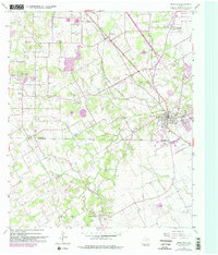
2022 Map of Mansfield
USGS Topo · Published 2022About this map
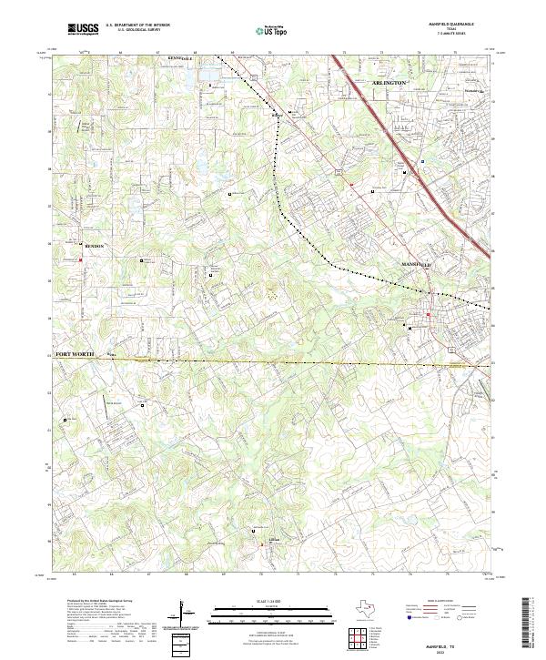
Mansfield serves as the central hub of this survey, straddling the Tarrant Co Johnson Co boundary during a period of significant suburban expansion. The landscape is defined by the headwaters of Walnut Creek and its many tributaries, including Willow Branch and Hogpen Branch, which carve through the residential developments of Arlington and Kennedale. For genealogists, the map is remarkably dense with burial sites, ranging from the large Mansfield Cem and Mansfield Community Cem to smaller family plots and memorial gardens like Wyatts Chapel Cem and Skyvue Memorial Gardens.
Find a feature on this map
239 named features on this map. Tap any name to fly to it.
Don’t see what you’re looking for? This feature index may not catch every label — zoom into the map to look around manually.
Map Details
Editions of this 2022 Mansfield Map
This is the sole edition of this map. No revisions or reprints were ever made.