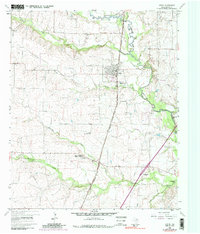
2022 Map of Justin
USGS Topo · Published 2022About this map
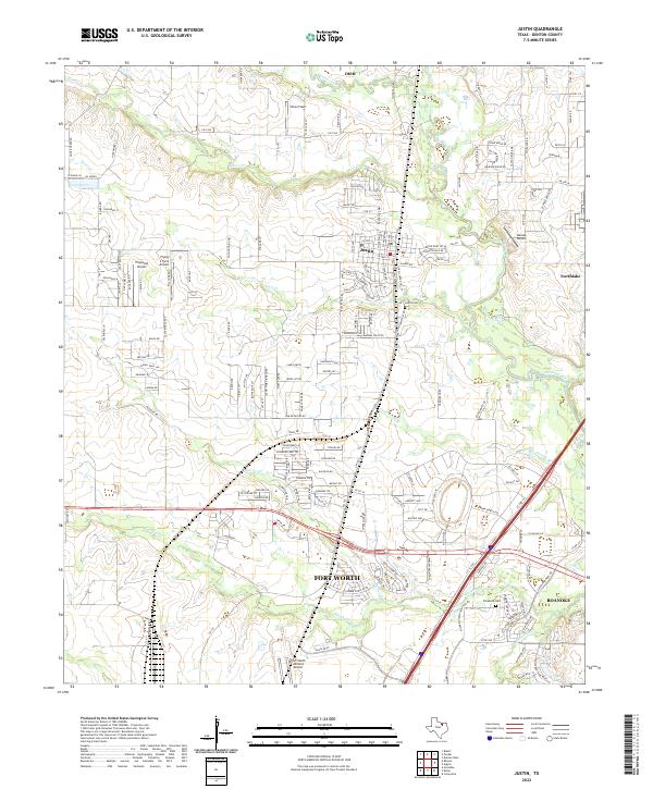
Justin stands as a central hub in this Denton County landscape, where the traditional agricultural layout of North Texas meets modern aviation infrastructure. The region is marked by an unusual density of airfields, ranging from the sprawling Fort Worth Alliance Airport in the south to smaller local strips like Propwash Airport, Flying S Farm Airport, and Dooley Airport. These facilities overlay a terrain defined by the winding paths of Denton Creek and its many tributaries, including Catherine Br and Elizabeth Cr.
Find a feature on this map
175 named features on this map. Tap any name to fly to it.
Don’t see what you’re looking for? This feature index may not catch every label — zoom into the map to look around manually.
Map Details
Editions of this 2022 Justin Map
This is the sole edition of this map. No revisions or reprints were ever made.