Old Maps of Trinity County, Texas for Academic Research
Study the evolution of Trinity County with 170 high-resolution historic maps. Whether you're teaching, researching, or modeling changes in land use, these maps provide essential visual documentation of urban, environmental, and geographic change.
- Analyze long-term change: Track patterns in development, transportation, and natural features.
- Ideal for environmental or urban studies: Support academic projects with primary historical map data.
- Use in the classroom or lab: Educators and researchers rely on these maps to bring historical context to life.
These maps are a powerful tool for teaching, research, and visualizing how Trinity County has changed over the decades.
Trinity County, TX maps
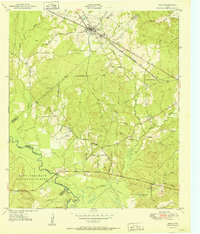
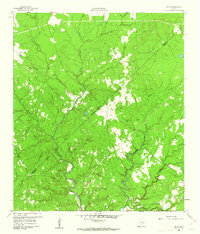
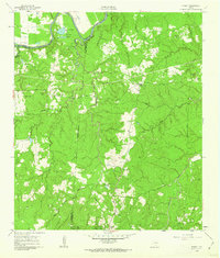
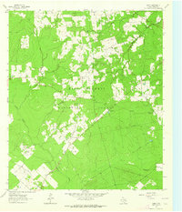
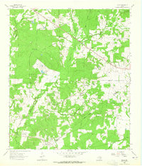
(170)- 1949 Map of Keltys, 1977 Print
 1949 Keltys1977 Print · USGSAngelina County in the late 1940s reveals a landscape defined by timber-era railroads and rural community hubs. Researchers can trace family roots at Largent Cem or explore the development of Keltys and the Agricultural Experiment Station.2 unique versions available
 - 1950 Map of Keltys
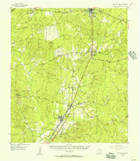
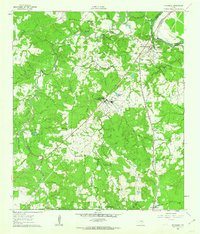
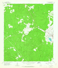
 1950 Keltys1950 Print · USGSAngelina County saw significant growth in the early post-war years as the rail lines connected rural timberlands and towns. Genealogists can trace family names at Wallace Cem, Hudson Sch, and New Hope Ch.
 - 1950 Map of Centralia, 1977 Print
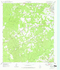
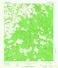
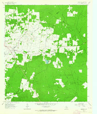
 1950 Centralia1977 Print · USGSThe Piney Woods of Trinity and Houston Counties are revealed here at mid-century as a landscape defined by timber and tight-knit rural communities. You can trace the Logging Railroad networks and find family landmarks like Rice Cem, Nogalus, and Old Ivy Ch.
 - 1951 Map of Kennard
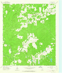
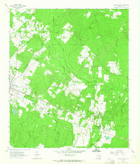
 1951 Kennard1951 Print · USGSDeep in the East Texas piney woods in the early fifties, this area shows the intersection of the Davy Crockett National Forest and local timber life. Genealogists can trace early landmarks like Antioch Cem, Nogalus Lookout Tower, and rural congregations including Mt Olive Ch.
 - 1951 Map of Wells
 1951 Wells1951 Print · USGSCherokee County at mid-century shows a landscape shaped by timber and rail as the Piney Woods met the Neches River. Researchers can locate family landmarks like Simpson Cem, the rural center of Redtown, and the St Louis Southwestern Railroad line.3 unique versions available
 - 1951 Map of Wells SW
 1951 Wells SW1951 Print · USGSDeep East Texas timberlands come alive in this mid-century survey of the Neches River bottomlands at the edge of the Davy Crockett National Forest. Genealogists and historians can trace old transit lines like the Old Logging Railroad Grade or locate rural landmarks such as Raville Siding and Vair.3 unique versions available
 - 1951 Map of Centralia
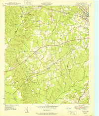
 1951 Centralia1951 Print · USGSEast Texas timber country comes alive in the early fifties, showing the intersections of the Davy Crockett National Forest and local homesteads. Researchers can locate remote community hubs like Nogalus, Old Ivy Ch, and the defunct Logging Railroad Grade.
 - 1953 Map of Palestine, 1964 Print
 1953 Palestine1964 Print · USGSEast Texas was defined by its deep pine forests and burgeoning energy sector in the mid-1950s. Genealogists and historians can trace the rail-and-river economy through settlements like Tennessee Colony and Pollok or explore the early footprints of the Cayuga Oil Field and Davy Crockett National Forest.2 unique versions available
 - 1954 Map of Beaumont, 1964 Print
 1954 Beaumont1964 Print · USGSSoutheast Texas in the mid-fifties reveals a landscape of massive national forests, emerging reservoirs, and a booming oil economy. Genealogists and researchers can trace rural settlements like Dallardsville and Village Mills or locate early drilling sites at Sour Lake Oil Field.3 unique versions available
 - 1955 Map of New Willard, 1957 Print
 1955 New Willard1957 Print · USGSPolk County at the height of the 1950s reveals a landscape of East Texas timber towns and essential rail corridors. Genealogists and historians can trace family roots through numerous rural sites like Bold Springs Ch, Seven Oaks, and the Leggett-Alexander Cem.3 unique versions available
 - 1957 Map of Beaumont
 1957 Beaumont1957 Print · USGSSoutheast Texas in the mid-fifties is defined by the timber-rich lands between the Trinity River and Beaumont. Trace the history of the Alabama and Coushatti Indian Reservation or locate early campus sites like Prairie View College.
 - 1957 Map of Palestine
 1957 Palestine1957 Print · USGSEast Texas in the mid-fifties reveals a landscape of deep pine forests and winding river valleys before the era of massive reservoir construction. Researchers can trace the legacy of the timber and rail industries through labels for the Missouri Pacific RR, Davy Crockett National Forest, and Nacogdoches.
 - 1960 Map of Colita, 1961 Print
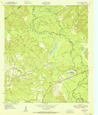
 1960 Colita1961 Print · USGSThe Trinity and Polk county line comes alive in the early sixties, showing a landscape defined by the winding Kickapoo Creek. Genealogists and local historians can locate the Bethel Cem and rural gathering places like Colita Ch and Bethel Ch.3 unique versions available
 - 1960 Map of Trinity West, 1962 Print
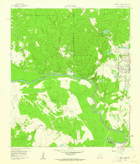 1960 Trinity West1962 Print · USGSThe Trinity River bottomlands south of the town of Trinity come into focus in the early 1960s as a landscape of railroads and institutional farms. Researchers can trace the path of the Waco Beaumont Trinity and Sabine rail line or locate the grounds of the Smither Prison Farm and Mt Olive Ch.3 unique versions available
 - 1960 Map of Trinity East, 1962 Print
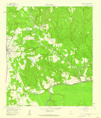 1960 Trinity East1962 Print · USGSThe community of Trinity and its riverfront surroundings are captured in the early 1960s, showing the intersection of rail and river life. Researchers can trace the Missouri Pacific line or follow the Old Railroad Grade past Skaines Lake and the settlement of Sebastopol.3 unique versions available
 - 1960 Map of Carlisle, 1962 Print
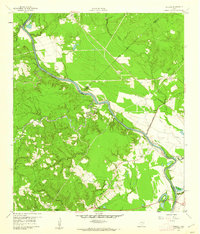 1960 Carlisle1962 Print · USGSThe Trinity River valley at the start of the 1960s reveals a landscape of small churches, family cemeteries, and old transit corridors. Genealogists and local historians can locate the Patricks Ferry site, the Pointblank School, and family landmarks like Darby Hill.3 unique versions available
 - 1961 Map of Staley, 1962 Print
 1961 Staley1962 Print · USGSDeep in the Piney Woods of the early sixties, this survey shows the rugged creek drainages and forest boundaries along the San Jacinto and Walker county lines. Trace family history through local landmarks like Gospel Hill Sch, Staley (Embryfield), and Community Relief Cem.2 unique versions available
 - 1961 Map of Riverside, 1962 Print
 1961 Riverside1962 Print · USGSEastern Walker County in the early sixties is characterized by small rural communities and the presence of the Sam Houston State Teachers College. Trace family roots at Dodge Cem or locate the old Riverside Jr High Sch and Holmes Chapel.3 unique versions available
 - 1962 Map of Lovelady South, 1964 Print
 1962 Lovelady South1964 Print · USGSThe woodlands of East Texas are captured here in the early 1960s as a landscape of timber, oil, and rail. Genealogists can locate family landmarks like Prairie Pt Cem, White Rock Ch, and the workings of the Trinity Oil Field.
 - 1962 Map of Glendale, 1964 Print
 1962 Glendale1964 Print · USGSDeep in East Texas during the early sixties, this area shows the rural life of Trinity and Houston Counties. Genealogists can trace family names at Holly Cem, Thompson Sch, and Zion Hill Ch, or follow the Old Railroad Grade past Glendale.2 unique versions available
 - 1963 Map of Crecy, 1964 Print
 1963 Crecy1964 Print · USGSDeep in the Piney Woods during the early sixties, this area shows the enduring footprints of timber and rural life. Trace family roots at McLain Cem or follow the Old Railroad Grade through the Davy Crockett National Forest.
 - 1963 Map of Groveton West, 1964 Print
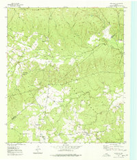
 1963 Groveton West1964 Print · USGSTrinity County timber country comes into focus in the early sixties as the national forest boundary meets the growing outskirts of Groveton. Researchers can trace the Old Railroad Grade and locate old family burial sites like Ellis Prairie Cem and Boontown Cem.2 unique versions available
 - 1963 Map of Pennington, 1964 Print
 1963 Pennington1964 Print · USGSPennington and the surrounding Piney Woods are captured in the early sixties as rural life centered on the local timberlands and country churches. Genealogists can locate family burial sites at Pennington Cem and Possum Walk Cem or trace the old paths near Friendship.2 unique versions available
 - 1963 Map of Groveton East, 1964 Print
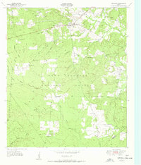
 1963 Groveton East1964 Print · USGSTrinity County's timber country is captured here in the early sixties, showing the transition from old logging ways to modern forest management. Genealogists can locate family landmarks like Sumpter Cem or trace rural church sites such as Mt Olive Ch and New Hope Ch.2 unique versions available
 - 1963 Map of Fodice, 1965 Print
 1963 Fodice1965 Print · USGSThe piney woods and crossroads of East Texas appear in the early sixties, showing a landscape defined by timber and agriculture. Trace old family sites and rural landmarks like Fodice Cem, White Rock Ch, and the settlement of Shady Grove.2 unique versions available
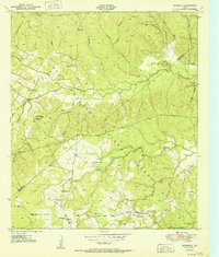
Showing maps 1-25 of 170
Top cities of Trinity County
Frequently asked questions
- What are the different types of historical maps available for Trinity County?
- What is the oldest map of Trinity County?
- Where can I purchase historical maps of Trinity County for my home or office?
- Where can I download high-res historical maps of Trinity County?
- Are there historical topographic maps available for Trinity County?
- Is there historical aerial imagery available for Trinity County?
- Where are historical maps of Trinity County sourced from?