Old Maps of Van, Texas for Academic Research
Study the evolution of Van with 17 high-resolution historic maps. Whether you're teaching, researching, or modeling changes in land use, these maps provide essential visual documentation of urban, environmental, and geographic change.
- Analyze long-term change: Track patterns in development, transportation, and natural features.
- Ideal for environmental or urban studies: Support academic projects with primary historical map data.
- Use in the classroom or lab: Educators and researchers rely on these maps to bring historical context to life.
These maps are a powerful tool for teaching, research, and visualizing how Van has changed over the decades.
Van, TX maps
(17)- 1956 Map of Tyler
 1956 Tyler1956 Print · USGSEast Texas was a powerhouse of oil production and rail transport during the mid-fifties, centered on the sprawling East Texas Oil Field. Researchers can trace the heritage of industrial hubs like Kilgore, military sites such as the Longhorn Ordnance Works, and many rural landmarks like Mount Enterprise.5 unique versions available
 - 1959 Map of Van, 1960 Print
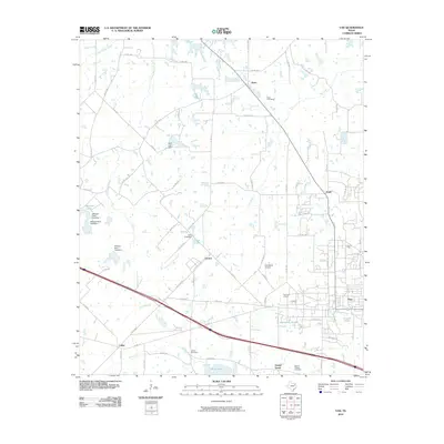
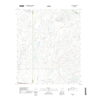
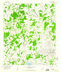 1959 Van1960 Print · USGSThe community of Van and its surrounding salt-rich terrain are detailed in this late fifties survey of East Texas. Genealogists and historians can trace local family roots through Marvin Chapel Cem, Pac Cem, and the industry at the large Tank Farm.2 unique versions available
 - 1959 Map of Van Lake, 1960 Print
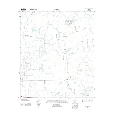
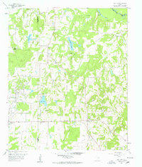 1959 Van Lake1960 Print · USGSThe oil-rich landscape of East Texas in the late fifties comes alive on this map, showing the rural crossroads and petroleum fields of Smith and Van Zandt counties. Genealogists can locate family landmarks like Dickerson Cem and churches like Union Chapel and Wisdom Temple.4 unique versions available
 - 1959 Map of Grand Saline, 1961 Print
 1959 Grand Saline1961 Print · USGSEast Texas in the late fifties reveals a landscape shaped by the oil industry and the railroad. Researchers can trace family-named sites and vanished landmarks like Collins Ferry, Van Oil Field, and the Union Chapel.2 unique versions available
 - 1984 Map of Tyler
 1984 Tyler1984 Print · USGSEast Texas at the peak of its reservoir-building era shows a landscape defined by new lakes and established rail corridors. Trace the path of the St Louis Southwestern RR or locate industrial sites like the Longhorn Ordnance Works.3 unique versions available
 - 1985 Map of Mineola
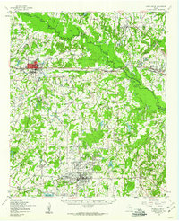
 1985 Mineola1985 Print · USGSUpper East Texas in the mid-eighties shows a region shaped by the Sabine River and large-scale water projects. Researchers can trace the rail heritage of the Missouri Pacific RR and locate rural landmarks like Ambassador College Res or the Oil Field.
 - 1991 Map of Mineola
 1991 Mineola1991 Print · USGSEast Texas in the early nineties reveals a landscape shaped by large-scale water reservoirs and the enduring footprint of the oil industry. Genealogists and historians can trace rail-town development in Mineola or explore smaller settlements like Bright Star and Garden Valley.
 - 2010 Map of Van Lake, 2010 Print
 2010 Van Lake2010 Print · USGSCovers Van, including Garden Valley, Jamestown, and other nearby areas
 - 2010 Map of Van, 2010 Print
 2010 Van2010 Print · USGSCovers Van, including Pruitt, Owlett Green, and other nearby areas
 - 2012 Map of Van Lake, 2012 Print
 2012 Van Lake2012 Print · USGSCovers Van, including Garden Valley, Jamestown, and other nearby areas
 - 2012 Map of Van, 2012 Print
 2012 Van2012 Print · USGSCovers Van, including Pruitt, Owlett Green, and other nearby areas
 - 2016 Map of Van Lake, 2016 Print
 2016 Van Lake2016 Print · USGSCovers Van, including Garden Valley, Jamestown, and other nearby areas
 - 2016 Map of Van, 2016 Print
 2016 Van2016 Print · USGSCovers Van, including Pruitt, Owlett Green, and other nearby areas
 - 2019 Map of Van Lake, 2019 Print
 2019 Van Lake2019 Print · USGSCovers Van, including Garden Valley, Jamestown, and other nearby areas
 - 2019 Map of Van, 2019 Print
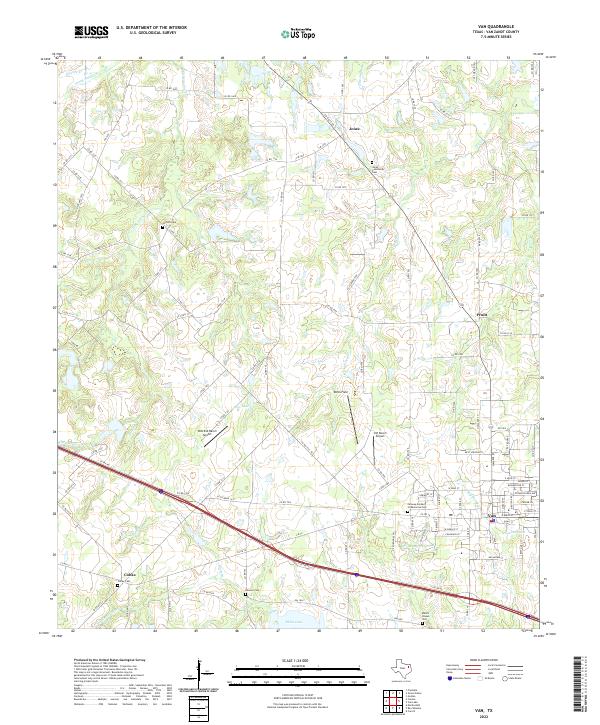
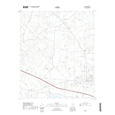 2019 Van2019 Print · USGSCovers Van, including Pruitt, Owlett Green, and other nearby areas
 - 2022 Map of Van, 2022 Print
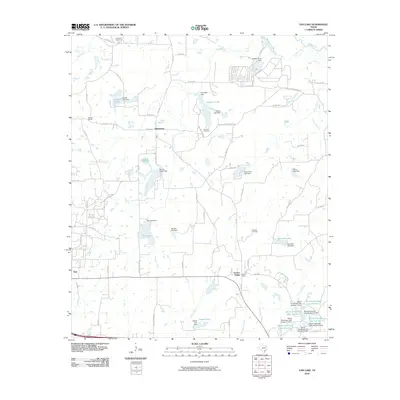
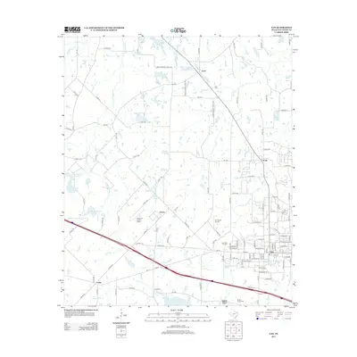
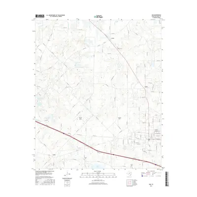
 2022 Van2022 Print · USGSThe town of Van and its rural surroundings are shown here as they appeared in 2022, revealing a landscape defined by small communities and family burial grounds. Researchers can trace local genealogy and land use through Fairway Garden of Memories Cem, Colfax, and the Wits End Ranch Airport.
 - 2022 Map of Van Lake, 2022 Print
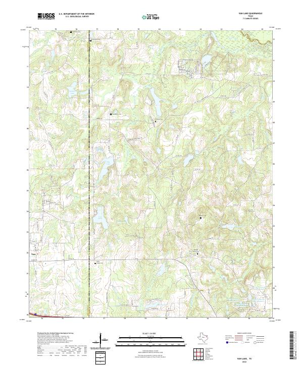 2022 Van Lake2022 Print · USGSThe Van Zandt and Smith County line comes alive in the early twenty-first century, showing a landscape of small lakes and rural homesteads. Trace ancestral ties at Union Chapel Cem, Jamestown Cem, or along the banks of the Sabine River.
End of results
Showing maps 1-17 of 17
Top cities near Van
- Tyler historical maps
- Lindale historical maps
- Mineola historical maps
- Canton historical maps
- Chandler historical maps
- Grand Saline historical maps
See more
Frequently asked questions
- What are the different types of historical maps available for Van?
- What is the oldest map of Van?
- Where can I purchase historical maps of Van for my home or office?
- Where can I download high-res historical maps of Van?
- Are there historical topographic maps available for Van?
- Is there historical aerial imagery available for Van?
- Where are historical maps of Van sourced from?