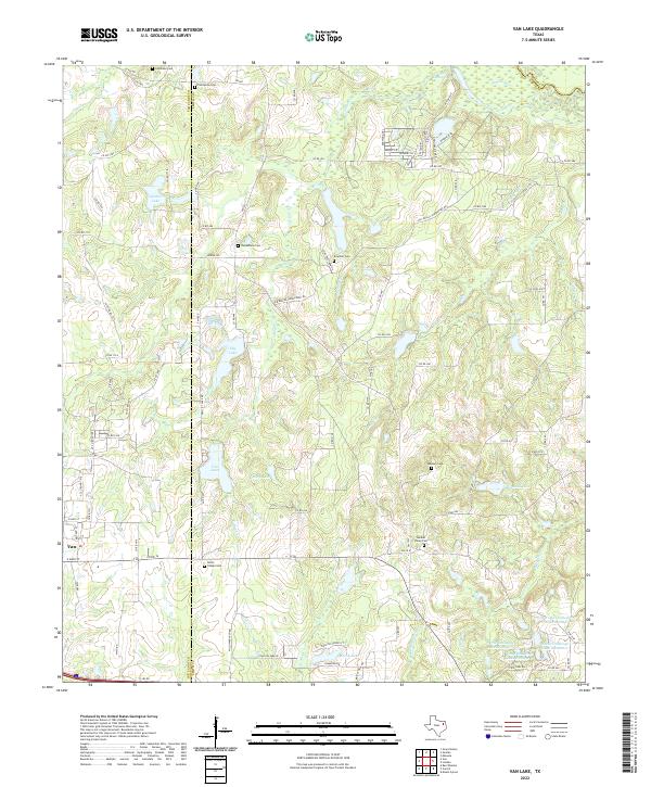
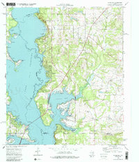
2022 Map of Van Lake
USGS Topo · Published 2022About this map
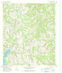
Van stands at the western edge of this 2022 survey, anchoring a rural East Texas landscape defined by dense creek networks and a multitude of small, family-named cemeteries. The border between Van Zandt Co and Smith Co bisects the terrain, which slopes toward the Sabine River in the northeast. Numerous small reservoirs and lakes populate the area, including the namesake Van Lake, Garden Lake, and Mosley Lake, alongside a series of uniquely named water bodies like World Challenge Lake Number 1. For genealogists, the map is particularly rich with small burial grounds such as Providence Cem, Jamestown Cem, and Union Chapel Cem, many of which sit near historical crossroads like Garden Valley Cem. The landscape is etched with a fine grid of county roads and farm-to-market routes like FM 1805 and FM 1253, illustrating the persistent rural settlement pattern of the region.
Find a feature on this map
105 named features on this map. Tap any name to fly to it.
Don’t see what you’re looking for? This feature index may not catch every label — zoom into the map to look around manually.
Map Details
Editions of this 2022 Van Lake Map
This is the sole edition of this map. No revisions or reprints were ever made.
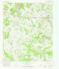
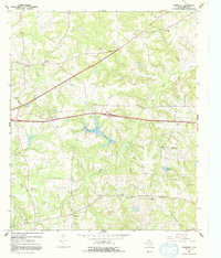
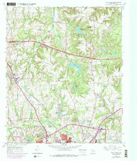
Historical Maps of Van Through Time
22 maps found
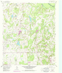
1959 Van Lake
Smith County, TX
1960 Crow
Smith County, TX
1966 Bascom
Smith County, TX
1966 Hope Pond
Smith County, TX
1966 Mount Sylvan
Smith County, TX
1966 Starrville
Smith County, TX
1966 Tyler North
Smith County, TX
1966 Tyler South
Smith County, TX
1973 Saline Bay
Smith County, TX
1973 Troup East
Smith County, TX
1973 Troup West
Smith County, TX
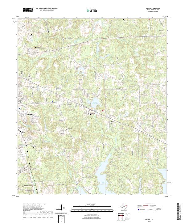
2022 Bascom
Smith County, TX
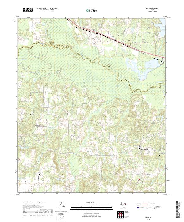
2022 Crow
Smith County, TX
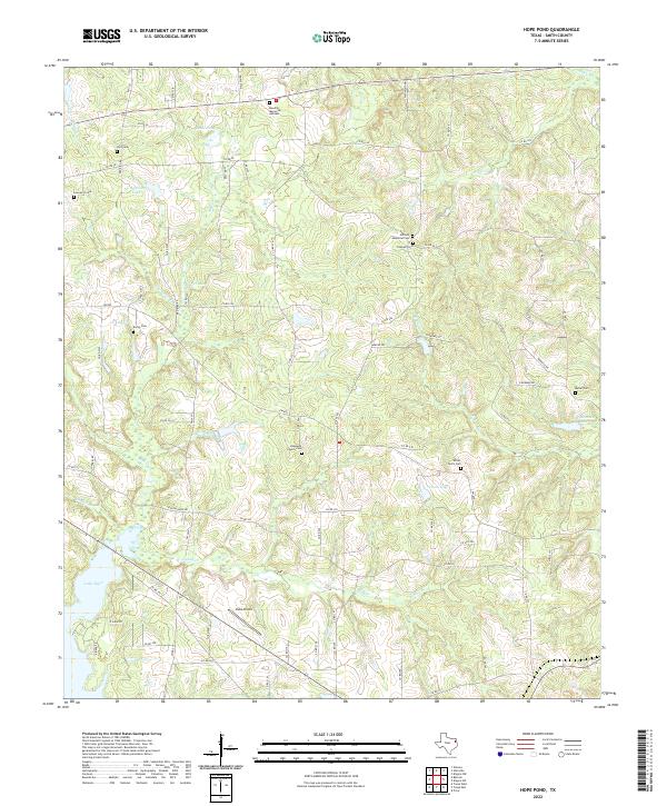
2022 Hope Pond
Smith County, TX
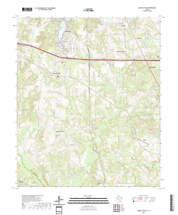
2022 Mount Sylvan
Smith County, TX
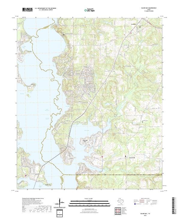
2022 Saline Bay
Smith County, TX
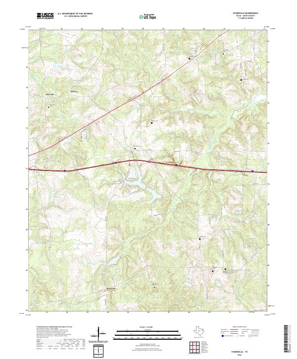
2022 Starrville
Smith County, TX
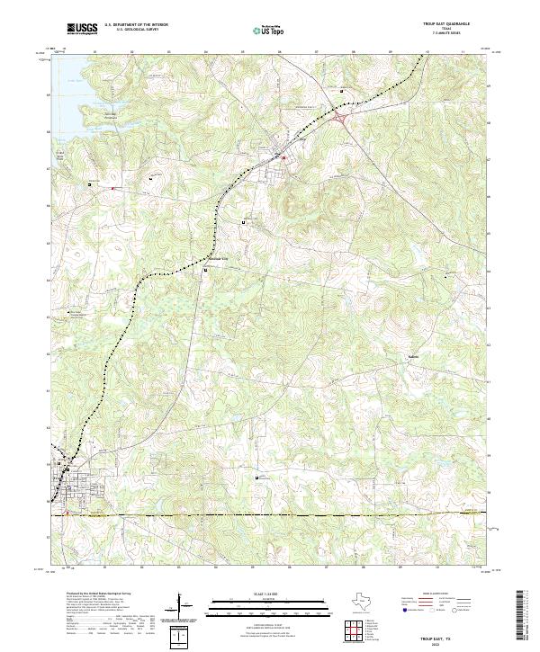
2022 Troup East
Smith County, TX
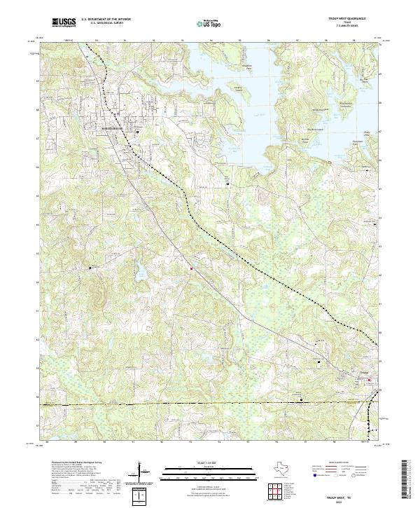
2022 Troup West
Smith County, TX
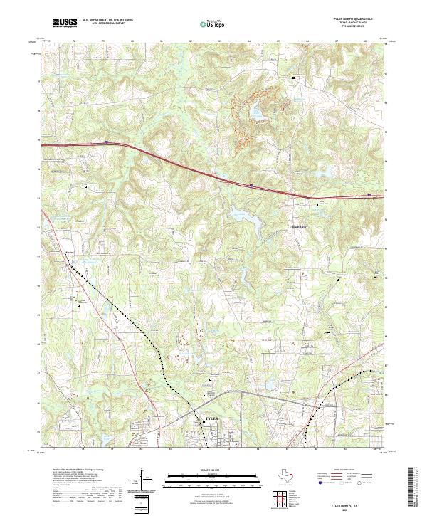
2022 Tyler North
Smith County, TX
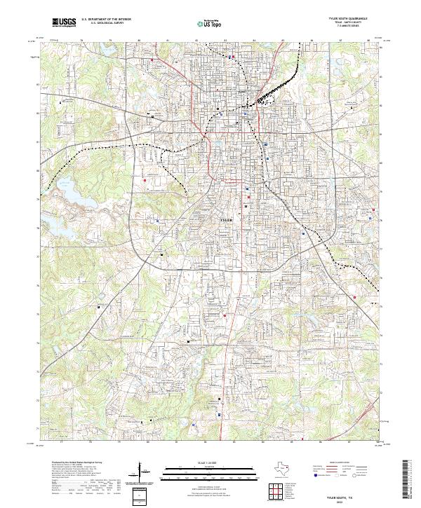
2022 Tyler South
Smith County, TX
2022 Van Lake
Smith County, TX