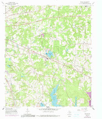
1966 Map of Bascom
USGS Topo · Published 1991About this map
Lake Tyler and Lake Tyler East dominate the southern landscape of this Smith County survey, where the expanding reservoirs meet a network of small creeks and branches. The settlement at Bascom and the nearby Chapel Hill community sit at a central crossroads, surrounded by established rural infrastructure that includes Lanes Ch, New Zion Ch, and the Texas State Quail Farm. Numerous family and community landmarks, such as Belcher Cem and Emmanuel Cem, are documented throughout the terrain, providing a look at the social geography of the area during the mid-1960s.
Find a feature on this map
43 named features on this map. Tap any name to fly to it.
Don’t see what you’re looking for? This feature index may not catch every label — zoom into the map to look around manually.
Map Details
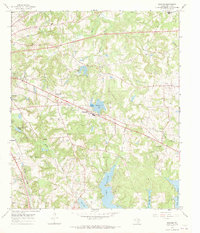
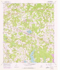
Editions of this 1966 Bascom Map
3 editions found
Other maps of this area

1937 · Troupe
USGS Topo · 1:48,000

1938 · Winona
USGS Topo · 1:48,000

1943 · Troup
USGS Topo · 1:62,500

1943 · Winona
USGS Topo · 1:62,500

1946 · Bullard
USGS Topo · 1:62,500

1948 · Bullard
USGS Topo · 1:62,500

1948 · Tyler
USGS Topo · 1:62,500

1949 · Tyler
USGS Topo · 1:62,500

1956 · Tyler
USGS Topo · 1:250,000

1966 · Hope Pond
USGS Topo · 1:24,000