
1966 Map of Hope Pond
USGS Topo · Published 1968About this map
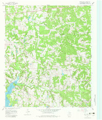
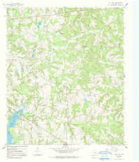
The upper reaches of Lake Tyler East define the southwestern corner of this mid-1960s landscape, where the waters meet the Caney Creek and Everett Branch drainages. This Smith County terrain is marked by a dense network of country roads connecting small settlements like Douglas and scattered rural congregations, including Swannytown Ch, Hopewell Ch, and El Bethel Ch No 2.
Find a feature on this map
36 named features on this map. Tap any name to fly to it.
Don’t see what you’re looking for? This feature index may not catch every label — zoom into the map to look around manually.
Map Details
Editions of this 1966 Hope Pond Map
3 editions found
Other maps of this area

1935 · Henderson
USGS Topo · 1:48,000

1936 · Kilgore
USGS Topo · 1:48,000

1937 · Troupe
USGS Topo · 1:48,000

1938 · Winona
USGS Topo · 1:48,000

1939 · Henderson
USGS Topo · 1:62,500

1940 · Kilgore
USGS Topo · 1:62,500

1943 · Troup
USGS Topo · 1:62,500

1943 · Winona
USGS Topo · 1:62,500

1956 · Tyler
USGS Topo · 1:250,000
1966 · Starrville
USGS Topo · 1:24,000