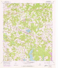
1966 Map of Bascom
USGS Topo · Published 1976About this map
Lake Tyler and the surrounding Smith County countryside appear here as they were being reshaped by post-war infrastructure and oil exploration. The eastern edge of Tyler extends into this landscape, where the Missouri Pacific railroad cuts a straight line through small rural communities like Bascom and Chapel Hill. These settlements are marked by high concentrations of local landmarks, including several family-named burial grounds such as Belcher Cem and Meador Cem, along with community anchors like Emmanuel Ch and New Zion Ch.
Find a feature on this map
44 named features on this map. Tap any name to fly to it.
Don’t see what you’re looking for? This feature index may not catch every label — zoom into the map to look around manually.
Map Details
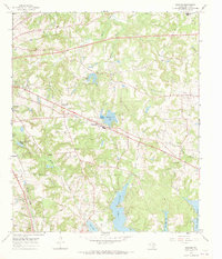
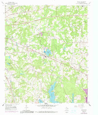
Editions of this 1966 Bascom Map
3 editions found
Other maps of this area

1937 · Troupe
USGS Topo · 1:48,000

1938 · Winona
USGS Topo · 1:48,000

1943 · Troup
USGS Topo · 1:62,500

1943 · Winona
USGS Topo · 1:62,500

1946 · Bullard
USGS Topo · 1:62,500

1948 · Bullard
USGS Topo · 1:62,500

1948 · Tyler
USGS Topo · 1:62,500

1949 · Tyler
USGS Topo · 1:62,500

1956 · Tyler
USGS Topo · 1:250,000

1966 · Hope Pond
USGS Topo · 1:24,000