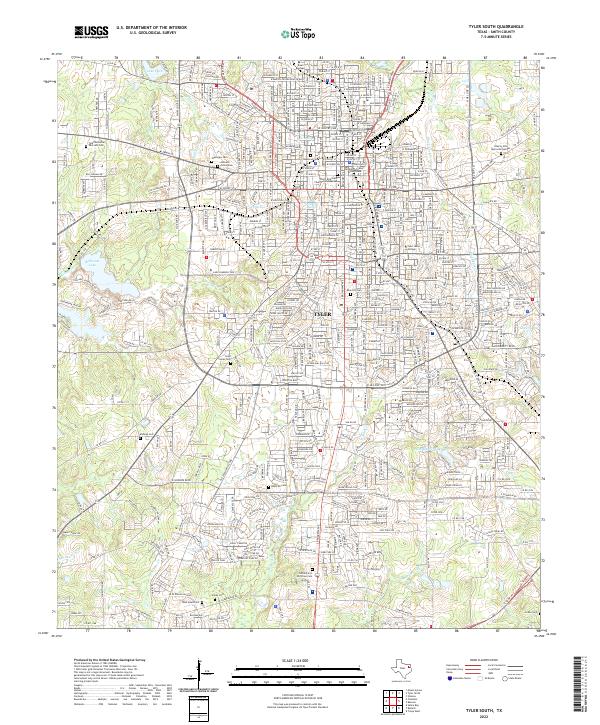
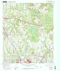
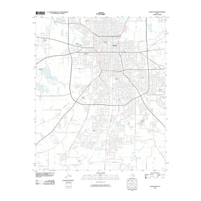
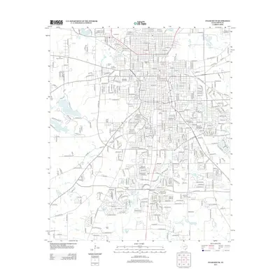
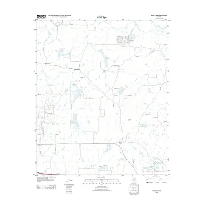
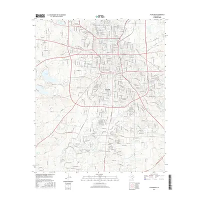
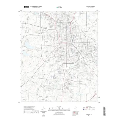
2022 Map of Tyler South
USGS Topo · Published 2022About this map
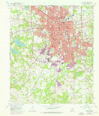
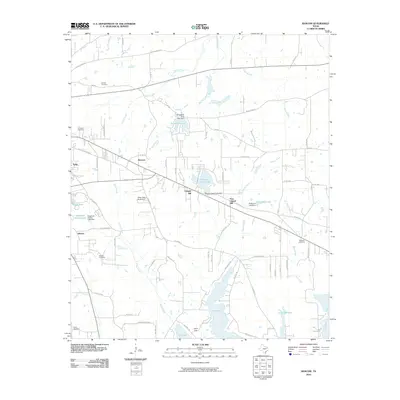
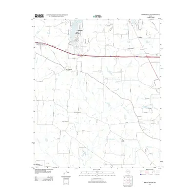
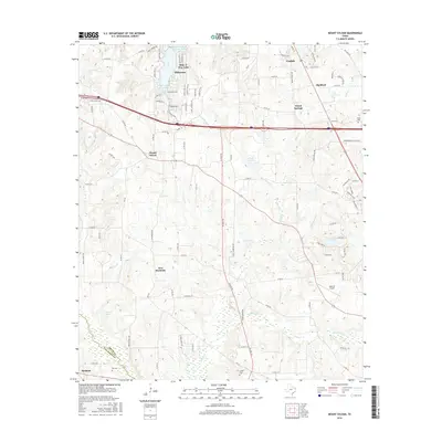
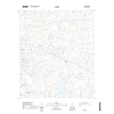
The urban and suburban landscape of Tyler unfolds across this survey, centered on the Smith County Courthouse and the institutional anchors of the city. Education and community identity are prominent through the campuses of Texas College and Tyler Junior College, while the spiritual and genealogical history of Smith County is deeply etched into the land. A significant concentration of burial grounds, including the historic Oakwood Cem, Rose Hill Cem, and the expansive Tyler Memorial Park and Cem, provide essential data points for local researchers. The terrain is defined by a network of small waterways like Willow Brook and Black Fork Cr that once influenced the early layout of the town, leading toward recreational and water resources such as Bellwood Lake and Lake Park on the city's periphery.
Find a feature on this map
313 named features on this map. Tap any name to fly to it.
Don’t see what you’re looking for? This feature index may not catch every label — zoom into the map to look around manually.
Map Details
Editions of this 2022 Tyler South Map
This is the sole edition of this map. No revisions or reprints were ever made.
Historical Maps of Tyler Through Time
66 maps found
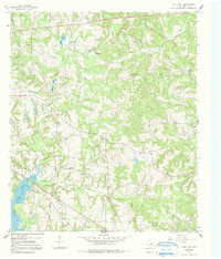
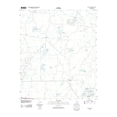
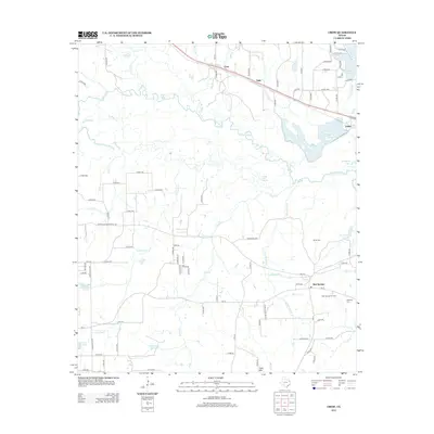
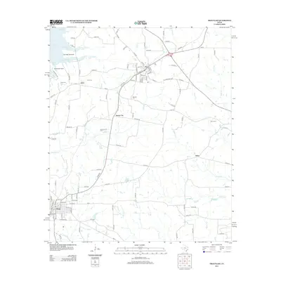
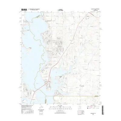
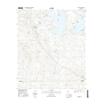
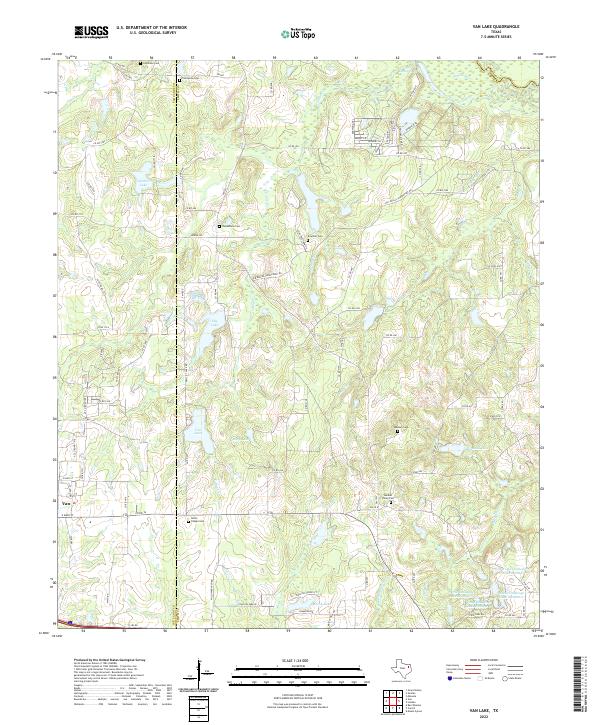
1959 Van Lake
Smith County, TX
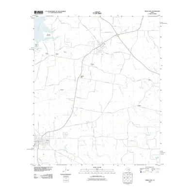
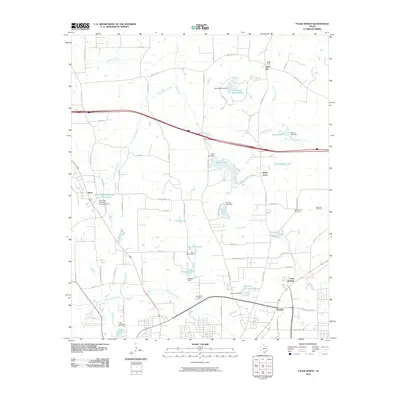
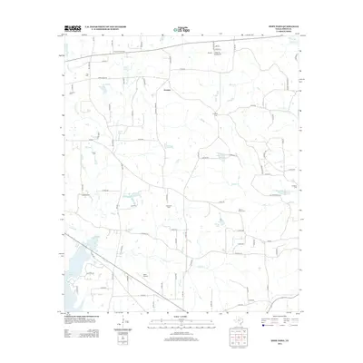
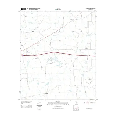
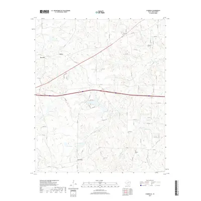
1960 Crow
Smith County, TX
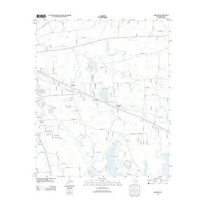
1966 Bascom
Smith County, TX
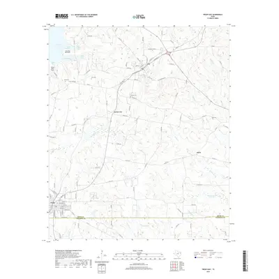
1966 Hope Pond
Smith County, TX
1966 Mount Sylvan
Smith County, TX
1966 Starrville
Smith County, TX
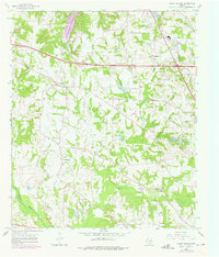
1966 Tyler North
Smith County, TX
1966 Tyler South
Smith County, TX
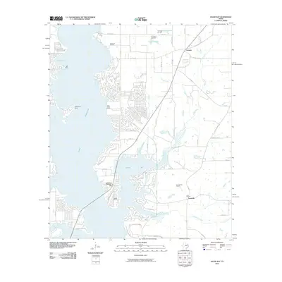
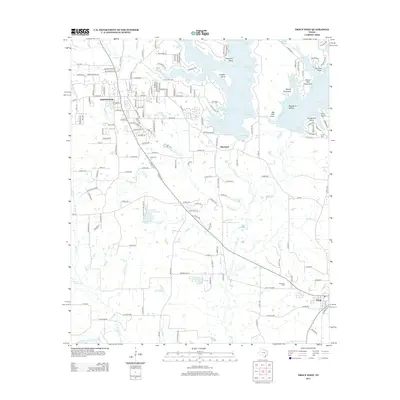
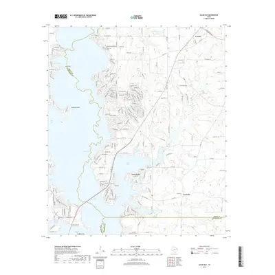
1973 Saline Bay
Smith County, TX
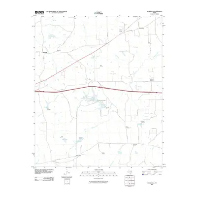
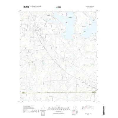
1973 Troup East
Smith County, TX
1973 Troup West
Smith County, TX
2010 Bascom
Smith County, TX
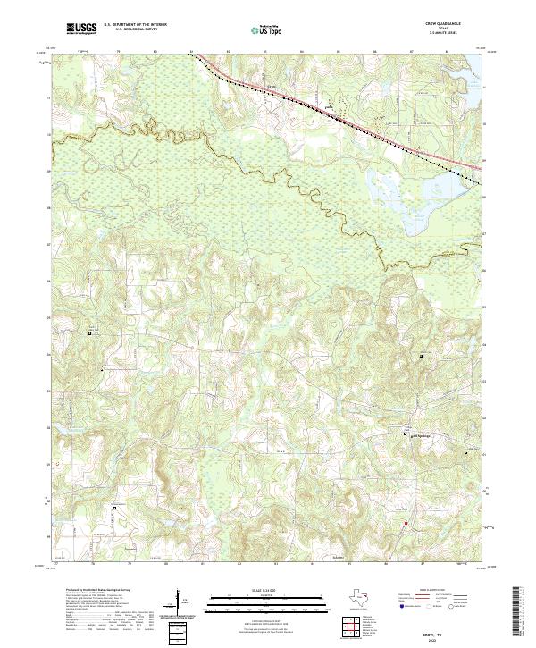
2010 Crow
Smith County, TX
2010 Hope Pond
Smith County, TX
2010 Mount Sylvan
Smith County, TX
2010 Saline Bay
Smith County, TX
2010 Starrville
Smith County, TX
2010 Troup East
Smith County, TX
2010 Troup West
Smith County, TX
2010 Tyler North
Smith County, TX
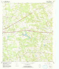
2010 Tyler South
Smith County, TX
2010 Van Lake
Smith County, TX
2012 Bascom
Smith County, TX
2012 Crow
Smith County, TX
2012 Hope Pond
Smith County, TX
2012 Mount Sylvan
Smith County, TX
2012 Saline Bay
Smith County, TX
2012 Starrville
Smith County, TX
2012 Troup East
Smith County, TX
2012 Troup West
Smith County, TX

2012 Tyler North
Smith County, TX
2012 Tyler South
Smith County, TX
2012 Van Lake
Smith County, TX
2016 Bascom
Smith County, TX
2016 Crow
Smith County, TX
2016 Hope Pond
Smith County, TX
2016 Mount Sylvan
Smith County, TX
2016 Saline Bay
Smith County, TX
2016 Starrville
Smith County, TX
2016 Troup East
Smith County, TX
2016 Troup West
Smith County, TX
2016 Tyler North
Smith County, TX
2016 Tyler South
Smith County, TX
2016 Van Lake
Smith County, TX
2019 Bascom
Smith County, TX
2019 Crow
Smith County, TX
2019 Hope Pond
Smith County, TX
2019 Mount Sylvan
Smith County, TX
2019 Saline Bay
Smith County, TX
2019 Starrville
Smith County, TX
2019 Troup East
Smith County, TX
2019 Troup West
Smith County, TX
2019 Tyler North
Smith County, TX
2019 Tyler South
Smith County, TX
2019 Van Lake
Smith County, TX
2022 Bascom
Smith County, TX
2022 Crow
Smith County, TX
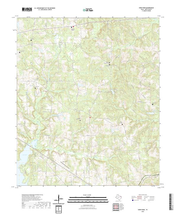
2022 Hope Pond
Smith County, TX
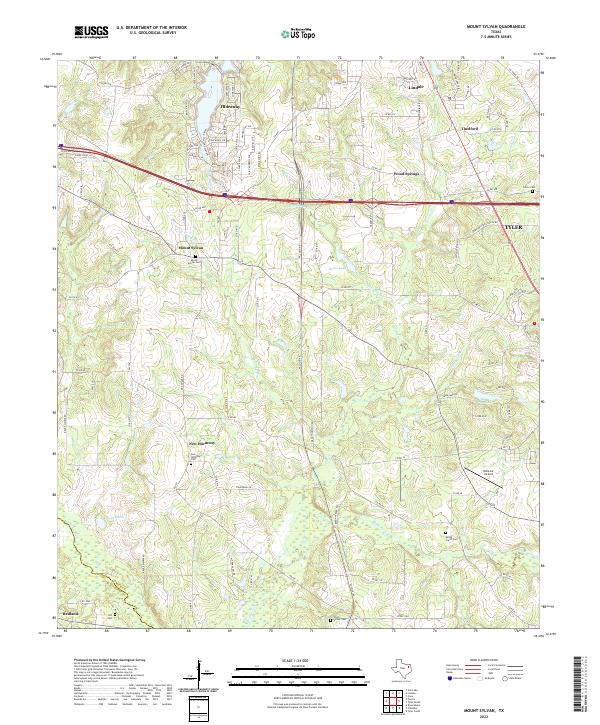
2022 Mount Sylvan
Smith County, TX
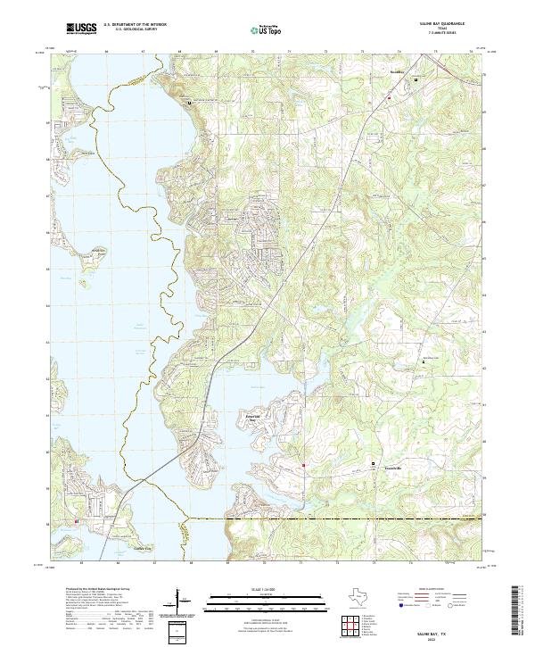
2022 Saline Bay
Smith County, TX
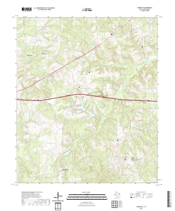
2022 Starrville
Smith County, TX
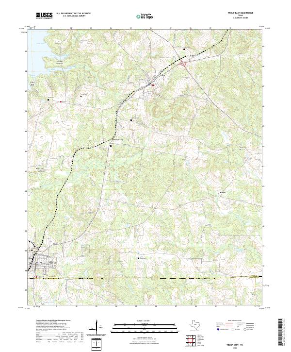
2022 Troup East
Smith County, TX
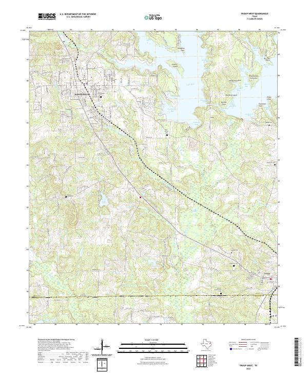
2022 Troup West
Smith County, TX
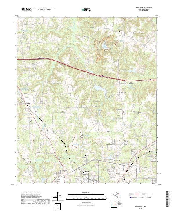
2022 Tyler North
Smith County, TX
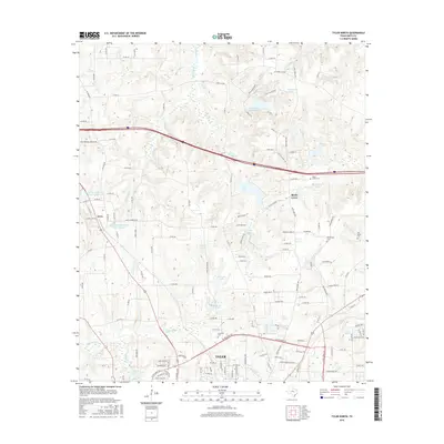
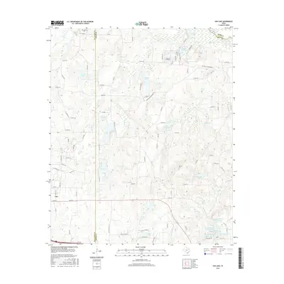
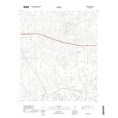
2022 Tyler South
Smith County, TX
2022 Van Lake
Smith County, TX