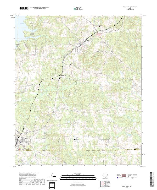
2022 Map of Troup East
USGS Topo · Published 2022About this map
The town of Troup and the nearby community of Arp anchor this landscape along the border of Smith and Cherokee Counties. A high density of rural burial grounds, including the New Hope Conglee Baptist Church Cem, Bradford Cem, and Union Grove Cem, suggests deep generational ties to the local countryside. The eastern reaches of Lake Tyler dominate the northwest corner, where Twin Bay Peninsula and Grand View Point overlook waters subdivided into local landmarks like Omen Road Bay and Shark Bay.
Find a feature on this map
110 named features on this map. Tap any name to fly to it.
Don’t see what you’re looking for? This feature index may not catch every label — zoom into the map to look around manually.
Map Details
Editions of this 2022 Troup East Map
This is the sole edition of this map. No revisions or reprints were ever made.
Other maps of this area

1935 · Henderson
USGS Topo · 1:48,000

1936 · Kilgore
USGS Topo · 1:48,000

1937 · Troupe
USGS Topo · 1:48,000

1938 · Winona
USGS Topo · 1:48,000

1939 · Henderson
USGS Topo · 1:62,500

1940 · Kilgore
USGS Topo · 1:62,500

1943 · Troup
USGS Topo · 1:62,500

1943 · Winona
USGS Topo · 1:62,500

1956 · Tyler
USGS Topo · 1:250,000

1966 · Hope Pond
USGS Topo · 1:24,000