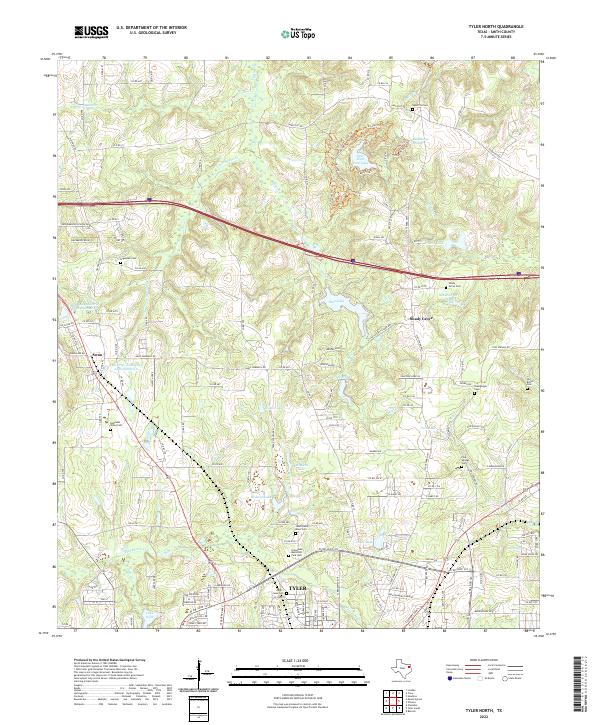
2022 Map of Tyler North
USGS Topo · Published 2022About this map
Tyler's northern expansion is detailed in this 2022 survey, showing a landscape defined by industrial reservoirs and family-named cemeteries. The map traces the reach of the Tyler Pipe Industries Lake Number 1 and its companion, Lake Number 2, which lie adjacent to the small settlement of Swan. To the northeast, Tyler State Park Lake serves as a focal point within the larger Tyler State Park, surrounded by natural springs like Beauchamps Springs.
Find a feature on this map
144 named features on this map. Tap any name to fly to it.
Don’t see what you’re looking for? This feature index may not catch every label — zoom into the map to look around manually.
Map Details
Editions of this 2022 Tyler North Map
This is the sole edition of this map. No revisions or reprints were ever made.
Other maps of this area

1938 · Winona
USGS Topo · 1:48,000

1943 · Winona
USGS Topo · 1:62,500

1948 · Tyler
USGS Topo · 1:62,500

1949 · Tyler
USGS Topo · 1:62,500

1956 · Tyler
USGS Topo · 1:250,000

1960 · Hawkins
USGS Topo · 1:24,000

1960 · Lindale
USGS Topo · 1:24,000

1960 · Crow
USGS Topo · 1:24,000

1966 · Chandler
USGS Topo · 1:24,000
1966 · Tyler North
USGS Topo · 1:24,000