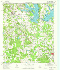
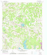
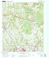
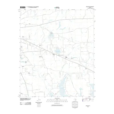
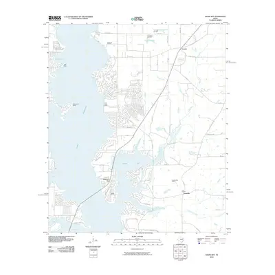
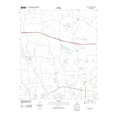
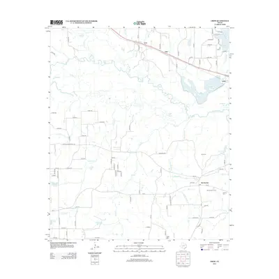
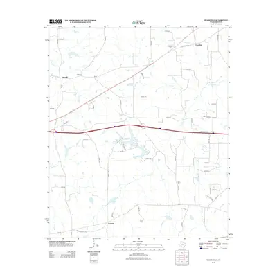
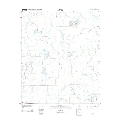
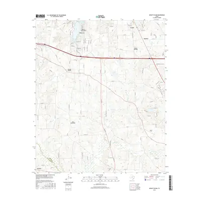
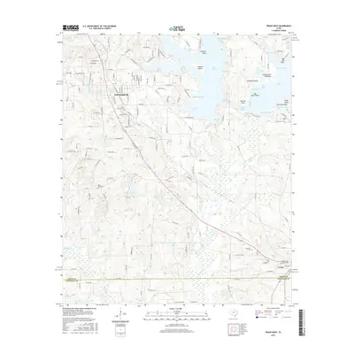
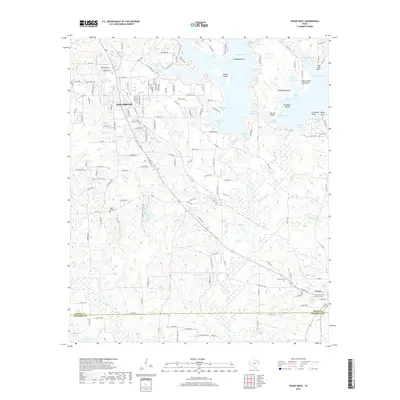
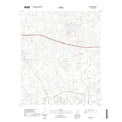
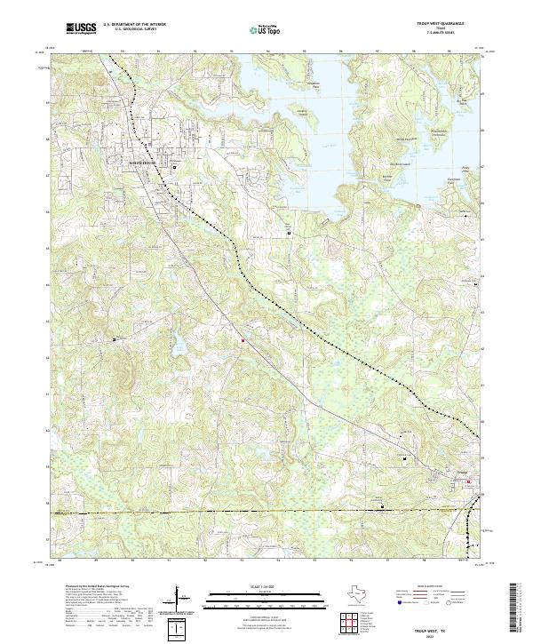
1973 Map of Troup West
USGS Topo · Published 1976About this map
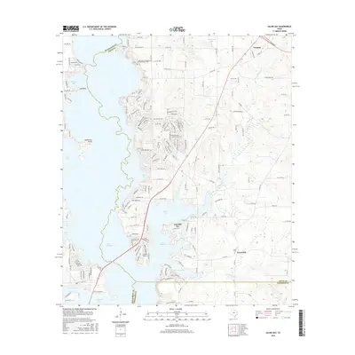
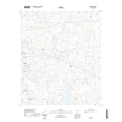
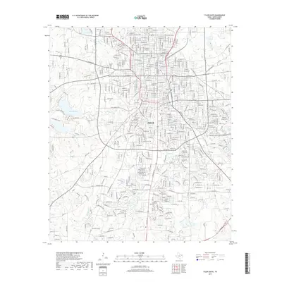
Whitehouse and the sprawling waters of Lake Tyler anchor this early 1970s survey of Smith and Cherokee Counties. The landscape is defined by the recreation-heavy shoreline of the reservoir, featuring numerous inlets like Arterberry Cove and Quiet Bay, alongside public spaces like Sandy Beach Park. Inland, the terrain reveals a mix of rural infrastructure and community life, from the Drag Strip near Willingham Bay to the industrial presence of scattered Oil Wells. The Missouri Pacific railroad cuts a diagonal path toward the southeast corner of the map, where the town of Troup begins to take shape along Paschal St and Dumac Street. Local history is preserved in small landmarks like Little Zion Ch, Mt Carmel Ch, and various family-named burial grounds including Walnut Grove Cem and Smith Cem.
Find a feature on this map
72 named features on this map. Tap any name to fly to it.
Don’t see what you’re looking for? This feature index may not catch every label — zoom into the map to look around manually.
Map Details
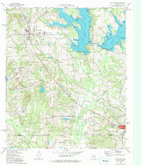
Editions of this 1973 Troup West Map
2 editions found
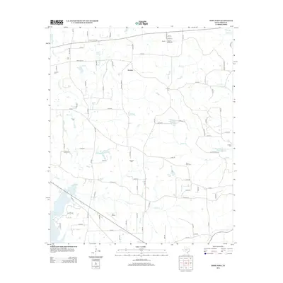
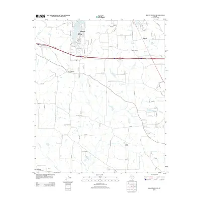
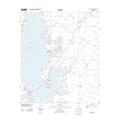
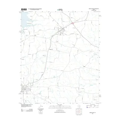
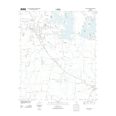
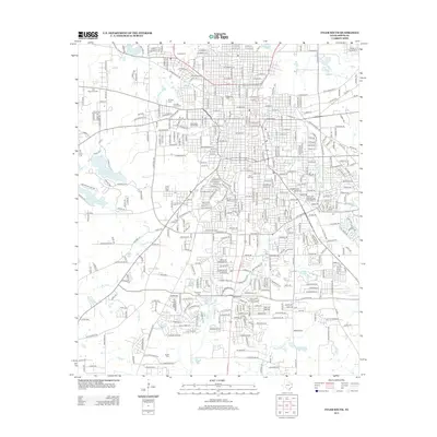
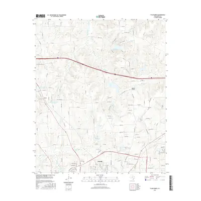
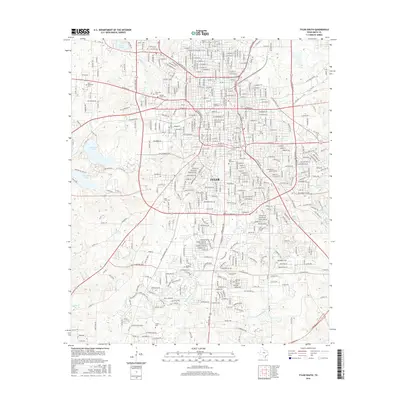
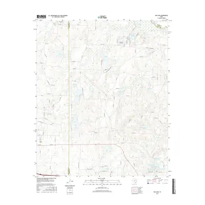
Historical Maps of Whitehouse Through Time
66 maps found
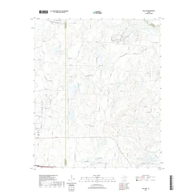
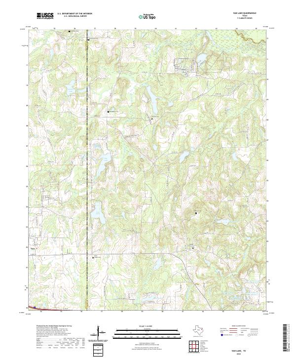
1959 Van Lake
Smith County, TX
1960 Crow
Smith County, TX
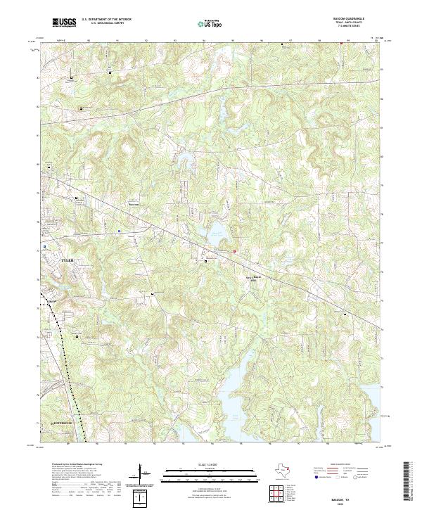
1966 Bascom
Smith County, TX
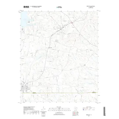
1966 Hope Pond
Smith County, TX
1966 Mount Sylvan
Smith County, TX
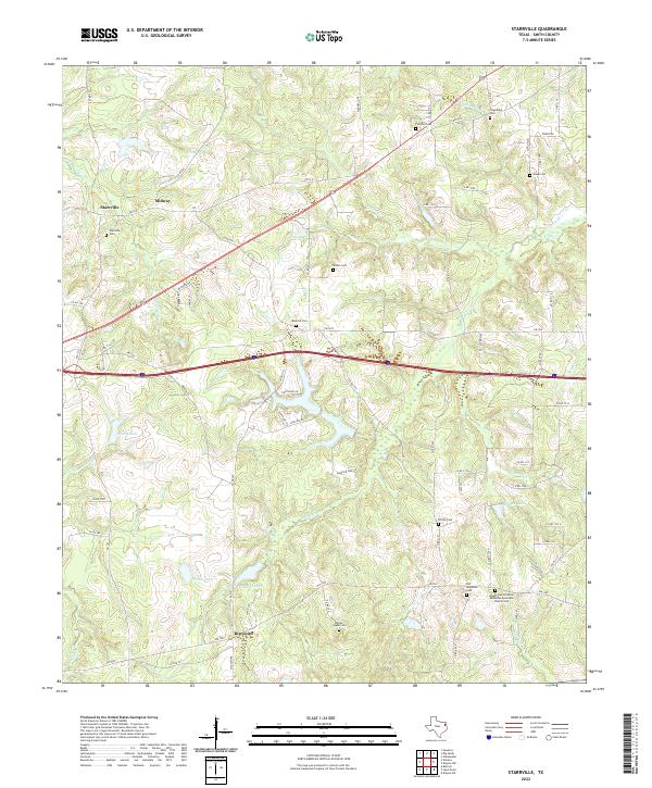
1966 Starrville
Smith County, TX
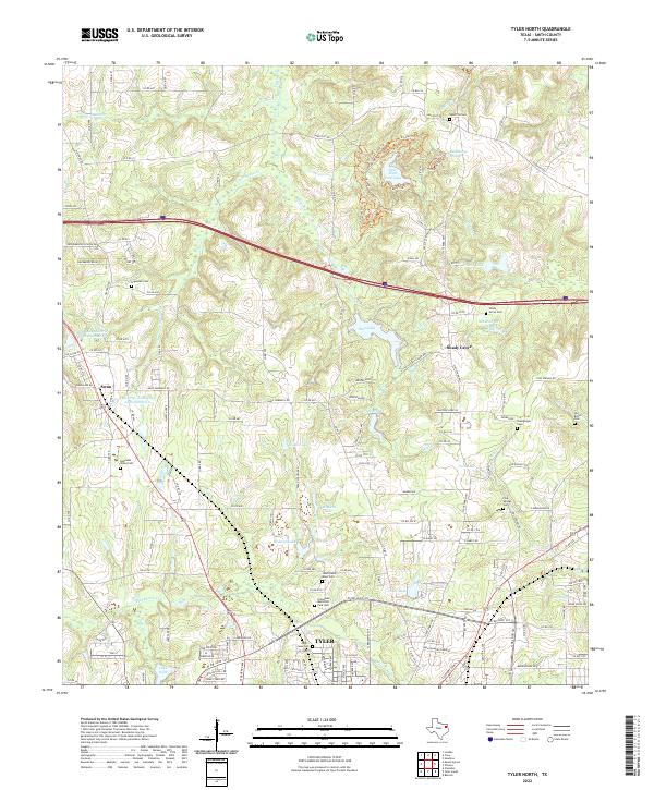
1966 Tyler North
Smith County, TX
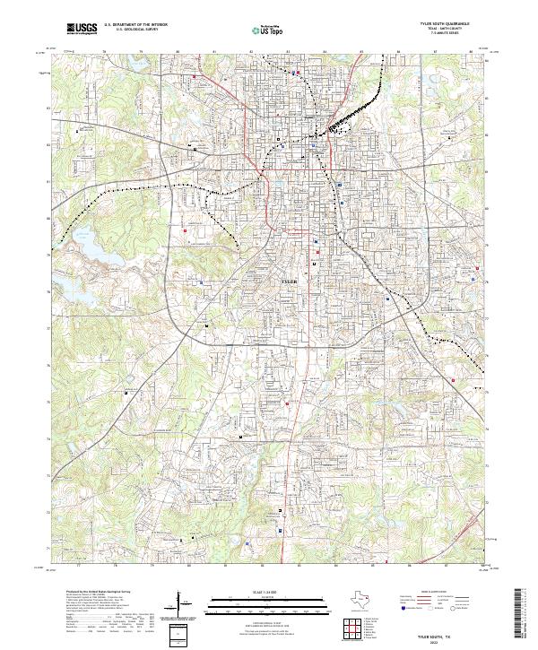
1966 Tyler South
Smith County, TX
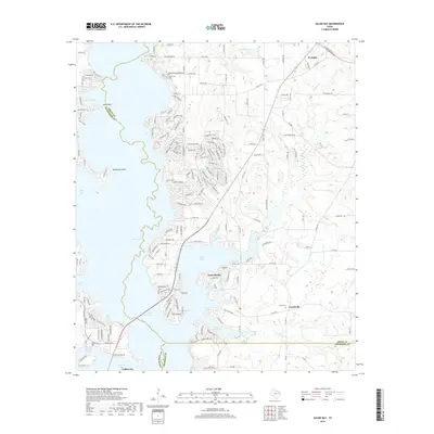
1973 Saline Bay
Smith County, TX
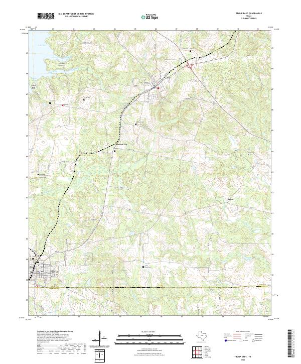
1973 Troup East
Smith County, TX
1973 Troup West
Smith County, TX
2010 Bascom
Smith County, TX
2010 Crow
Smith County, TX
2010 Hope Pond
Smith County, TX
2010 Mount Sylvan
Smith County, TX
2010 Saline Bay
Smith County, TX
2010 Starrville
Smith County, TX
2010 Troup East
Smith County, TX
2010 Troup West
Smith County, TX
2010 Tyler North
Smith County, TX
2010 Tyler South
Smith County, TX
2010 Van Lake
Smith County, TX
2012 Bascom
Smith County, TX
2012 Crow
Smith County, TX
2012 Hope Pond
Smith County, TX
2012 Mount Sylvan
Smith County, TX
2012 Saline Bay
Smith County, TX
2012 Starrville
Smith County, TX
2012 Troup East
Smith County, TX
2012 Troup West
Smith County, TX

2012 Tyler North
Smith County, TX
2012 Tyler South
Smith County, TX
2012 Van Lake
Smith County, TX
2016 Bascom
Smith County, TX
2016 Crow
Smith County, TX
2016 Hope Pond
Smith County, TX
2016 Mount Sylvan
Smith County, TX
2016 Saline Bay
Smith County, TX
2016 Starrville
Smith County, TX
2016 Troup East
Smith County, TX
2016 Troup West
Smith County, TX
2016 Tyler North
Smith County, TX
2016 Tyler South
Smith County, TX
2016 Van Lake
Smith County, TX
2019 Bascom
Smith County, TX
2019 Crow
Smith County, TX
2019 Hope Pond
Smith County, TX
2019 Mount Sylvan
Smith County, TX
2019 Saline Bay
Smith County, TX
2019 Starrville
Smith County, TX
2019 Troup East
Smith County, TX
2019 Troup West
Smith County, TX
2019 Tyler North
Smith County, TX
2019 Tyler South
Smith County, TX
2019 Van Lake
Smith County, TX
2022 Bascom
Smith County, TX
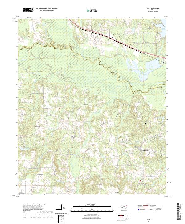
2022 Crow
Smith County, TX
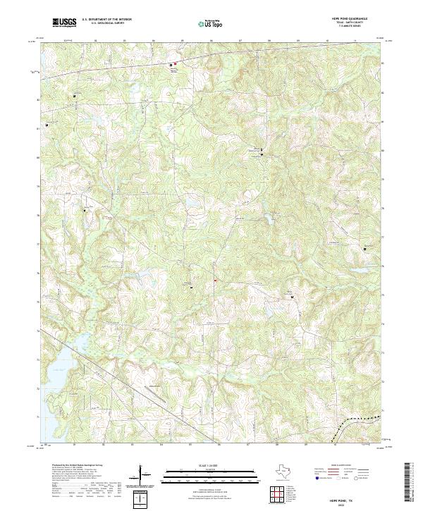
2022 Hope Pond
Smith County, TX
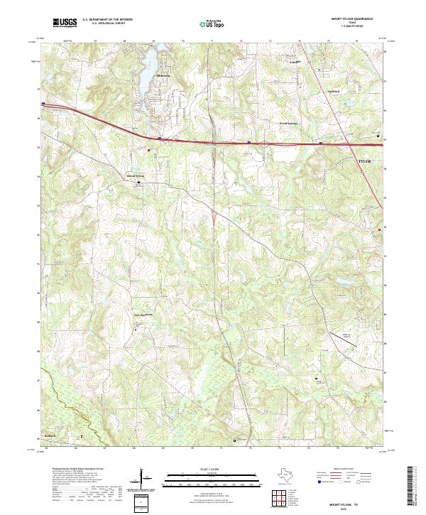
2022 Mount Sylvan
Smith County, TX
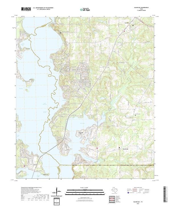
2022 Saline Bay
Smith County, TX
2022 Starrville
Smith County, TX
2022 Troup East
Smith County, TX
2022 Troup West
Smith County, TX
2022 Tyler North
Smith County, TX
2022 Tyler South
Smith County, TX
2022 Van Lake
Smith County, TX