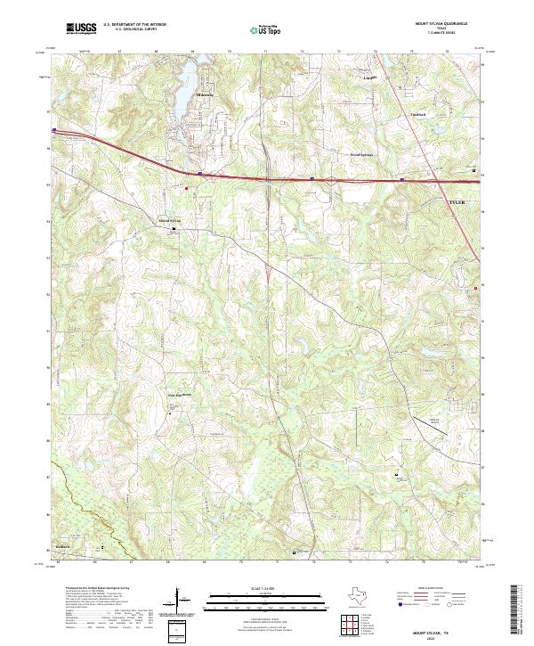
2022 Map of Mount Sylvan
USGS Topo · Published 2022About this map
The Neches River forms the southwestern boundary of this Smith County landscape, a region defined by a network of creeks and small rural settlements north of Tyler. Significant genealogical sites are distributed across the area, including Mount Sylvan Cem, New Harmony Cem, and the Wood-Verner Cem near the river. The residential development of Hideaway sits in the northwest, characterized by its winding roads like Ryder Cup Trl and Bayhills Cir near Lake Cross Rd.
Find a feature on this map
106 named features on this map. Tap any name to fly to it.
Don’t see what you’re looking for? This feature index may not catch every label — zoom into the map to look around manually.
Map Details
Editions of this 2022 Mount Sylvan Map
This is the sole edition of this map. No revisions or reprints were ever made.
Other maps of this area

1948 · Tyler
USGS Topo · 1:62,500

1948 · Brownsboro
USGS Topo · 1:62,500

1949 · Tyler
USGS Topo · 1:62,500

1949 · Brownsboro
USGS Topo · 1:62,500

1956 · Tyler
USGS Topo · 1:250,000

1959 · Van Lake
USGS Topo · 1:24,000

1959 · Grand Saline
USGS Topo · 1:62,500

1960 · Lindale
USGS Topo · 1:24,000

1960 · Crow
USGS Topo · 1:24,000

1966 · Chandler
USGS Topo · 1:24,000