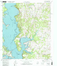
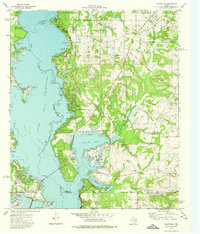
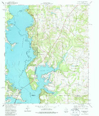
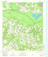
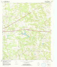
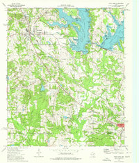
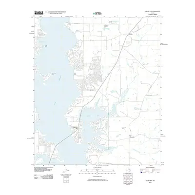
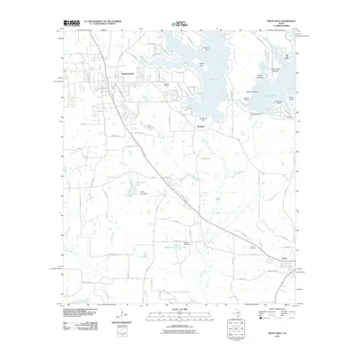
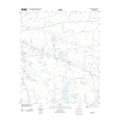
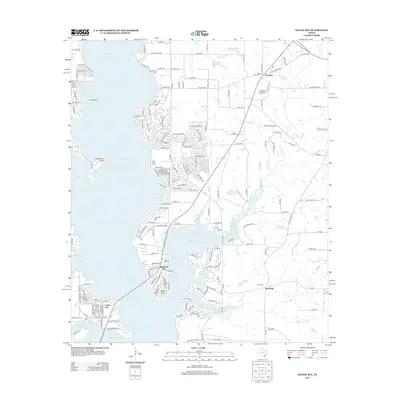
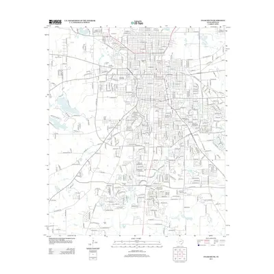
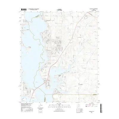
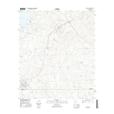
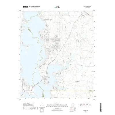
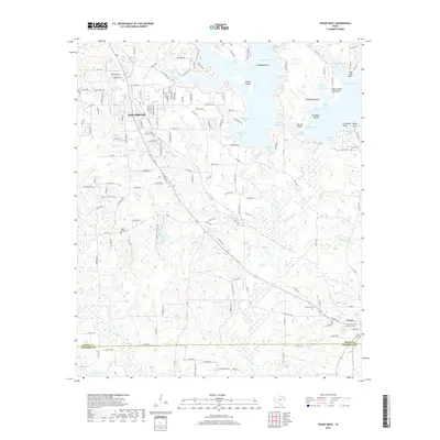
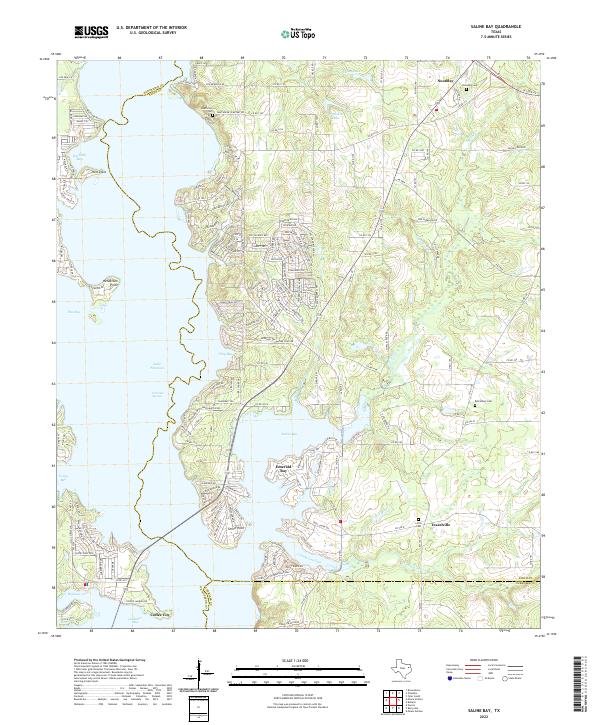
1973 Map of Saline Bay
USGS Topo · Published 1987About this map
The Lake Palestine reservoir dominates this landscape along the Neches River, illustrating the significant mid-century hydrological changes in East Texas. The shoreline is carved into numerous named inlets such as Saline Bay, Big Eddy Bay, and Highsaw Cove, where residential developments like Coffee City and Pine Trail Estates began to take shape. These lakeside communities are contrasted by the older, established rural patterns represented by Noonday and Teaselville.
Find a feature on this map
34 named features on this map. Tap any name to fly to it.
Don’t see what you’re looking for? This feature index may not catch every label — zoom into the map to look around manually.
Map Details
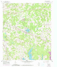
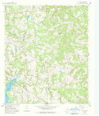
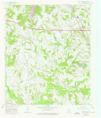
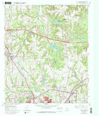
Editions of this 1973 Saline Bay Map
3 editions found
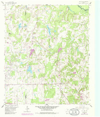
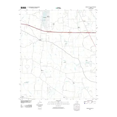
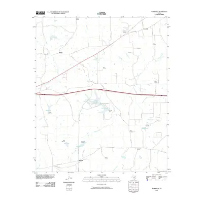
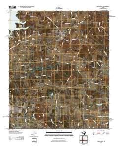
Historical Maps of Noonday Through Time
66 maps found
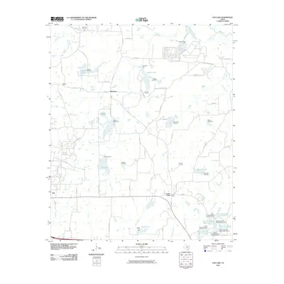
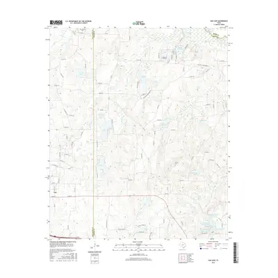
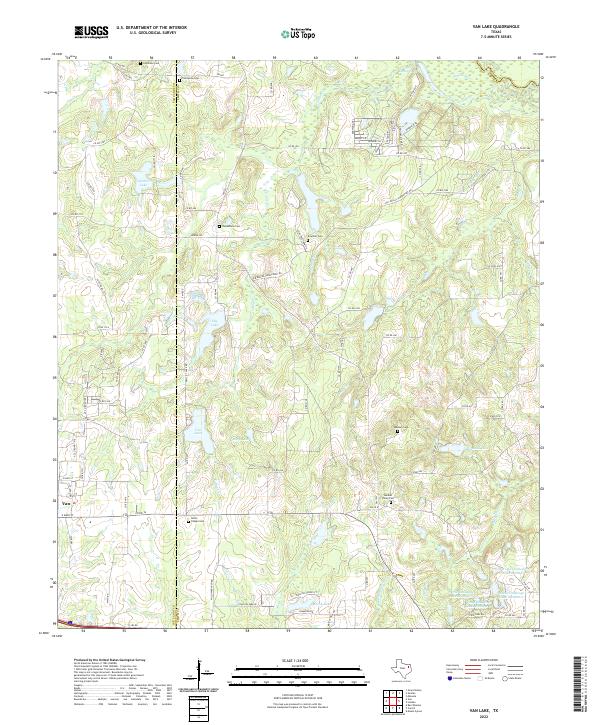
1959 Van Lake
Smith County, TX
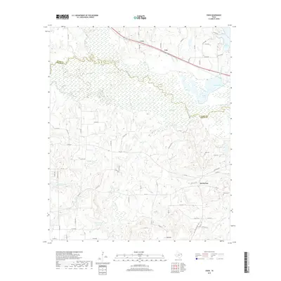
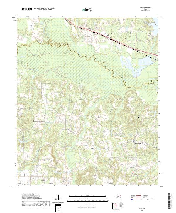
1960 Crow
Smith County, TX
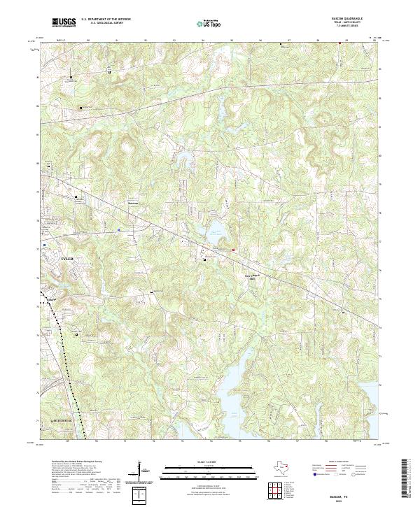
1966 Bascom
Smith County, TX
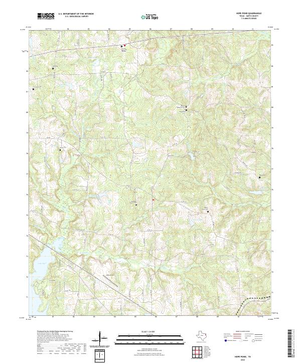
1966 Hope Pond
Smith County, TX
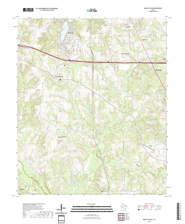
1966 Mount Sylvan
Smith County, TX
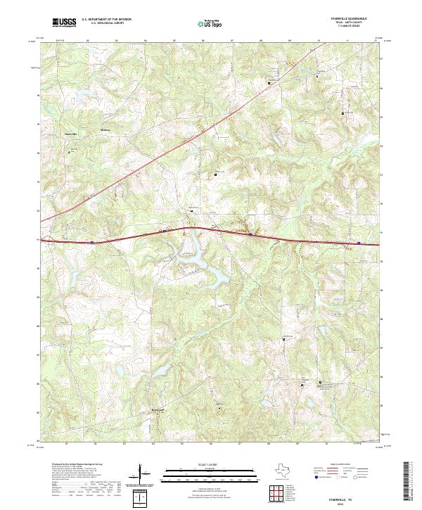
1966 Starrville
Smith County, TX
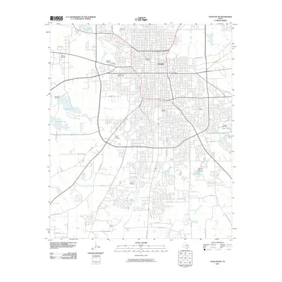
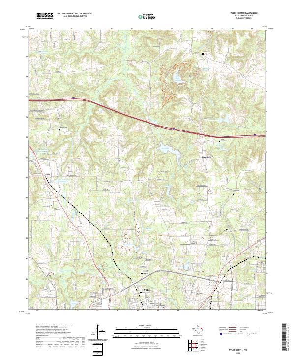
1966 Tyler North
Smith County, TX
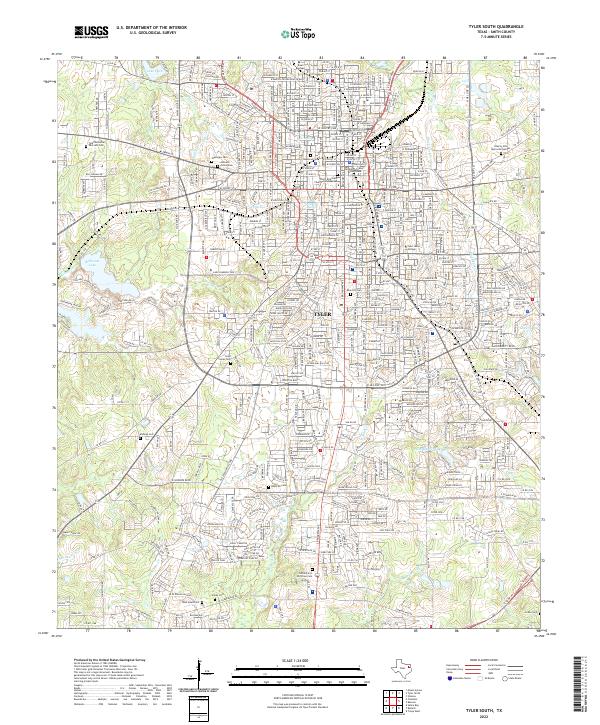
1966 Tyler South
Smith County, TX
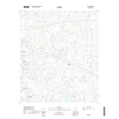
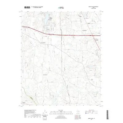
1973 Saline Bay
Smith County, TX
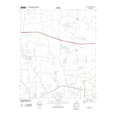
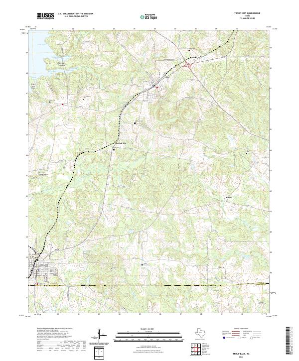
1973 Troup East
Smith County, TX
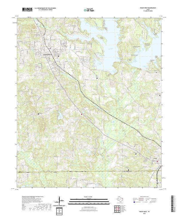
1973 Troup West
Smith County, TX
2010 Bascom
Smith County, TX
2010 Crow
Smith County, TX
2010 Hope Pond
Smith County, TX
2010 Mount Sylvan
Smith County, TX
2010 Saline Bay
Smith County, TX
2010 Starrville
Smith County, TX
2010 Troup East
Smith County, TX
2010 Troup West
Smith County, TX
2010 Tyler North
Smith County, TX
2010 Tyler South
Smith County, TX
2010 Van Lake
Smith County, TX
2012 Bascom
Smith County, TX
2012 Crow
Smith County, TX
2012 Hope Pond
Smith County, TX
2012 Mount Sylvan
Smith County, TX
2012 Saline Bay
Smith County, TX
2012 Starrville
Smith County, TX
2012 Troup East
Smith County, TX
2012 Troup West
Smith County, TX

2012 Tyler North
Smith County, TX
2012 Tyler South
Smith County, TX
2012 Van Lake
Smith County, TX
2016 Bascom
Smith County, TX
2016 Crow
Smith County, TX
2016 Hope Pond
Smith County, TX
2016 Mount Sylvan
Smith County, TX
2016 Saline Bay
Smith County, TX
2016 Starrville
Smith County, TX
2016 Troup East
Smith County, TX
2016 Troup West
Smith County, TX
2016 Tyler North
Smith County, TX
2016 Tyler South
Smith County, TX
2016 Van Lake
Smith County, TX
2019 Bascom
Smith County, TX
2019 Crow
Smith County, TX
2019 Hope Pond
Smith County, TX
2019 Mount Sylvan
Smith County, TX
2019 Saline Bay
Smith County, TX
2019 Starrville
Smith County, TX
2019 Troup East
Smith County, TX
2019 Troup West
Smith County, TX
2019 Tyler North
Smith County, TX
2019 Tyler South
Smith County, TX
2019 Van Lake
Smith County, TX
2022 Bascom
Smith County, TX
2022 Crow
Smith County, TX
2022 Hope Pond
Smith County, TX
2022 Mount Sylvan
Smith County, TX
2022 Saline Bay
Smith County, TX
2022 Starrville
Smith County, TX
2022 Troup East
Smith County, TX
2022 Troup West
Smith County, TX
2022 Tyler North
Smith County, TX
2022 Tyler South
Smith County, TX
2022 Van Lake
Smith County, TX