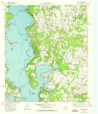
1973 Map of Saline Bay
USGS Topo · Published 1976About this map
The sprawling waters of Lake Palestine dominate this East Texas landscape, following the course of the Neches River as it forms the border between Smith and Henderson counties. The 1970s era represented here shows a region defined by new recreational and residential development, evidenced by the numerous boat ramps and winding lakeside drives like Cherokee Drive and Pine Trail Drive. Settlements such as Coffee City and Pine Trail Estates sit along the shoreline, while older rural markers like Teaselville and Noonday remain further inland.
Find a feature on this map
44 named features on this map. Tap any name to fly to it.
Don’t see what you’re looking for? This feature index may not catch every label — zoom into the map to look around manually.
Map Details
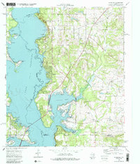
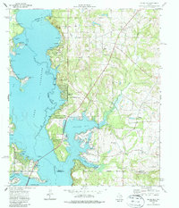
Editions of this 1973 Saline Bay Map
3 editions found
Other maps of this area

1946 · Bullard
USGS Topo · 1:62,500

1948 · Bullard
USGS Topo · 1:62,500

1948 · Tyler
USGS Topo · 1:62,500

1948 · Brownsboro
USGS Topo · 1:62,500

1949 · Tyler
USGS Topo · 1:62,500

1949 · Brownsboro
USGS Topo · 1:62,500

1949 · Frankston
USGS Topo · 1:62,500

1950 · Frankston
USGS Topo · 1:62,500

1956 · Tyler
USGS Topo · 1:250,000

1966 · Chandler
USGS Topo · 1:24,000