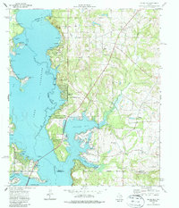
1973 Map of Saline Bay
USGS Topo · Published 1987About this map
The sprawling waters of Lake Palestine dominate the western landscape of this mid-1970s survey, where the Neches River valley was transformed by the impoundment of the lake. Small peninsula communities like Coffee City and Pine Trail Estates illustrate the residential and recreational growth that followed the water, featuring infrastructure like the Emerald Bay Airport and numerous boat ramps along Saline Bay and Flat Bay.
Find a feature on this map
44 named features on this map. Tap any name to fly to it.
Don’t see what you’re looking for? This feature index may not catch every label — zoom into the map to look around manually.
Map Details
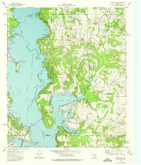
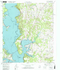
Editions of this 1973 Saline Bay Map
3 editions found
Other maps of this area

1946 · Bullard
USGS Topo · 1:62,500

1948 · Bullard
USGS Topo · 1:62,500

1948 · Tyler
USGS Topo · 1:62,500

1948 · Brownsboro
USGS Topo · 1:62,500

1949 · Tyler
USGS Topo · 1:62,500

1949 · Brownsboro
USGS Topo · 1:62,500

1949 · Frankston
USGS Topo · 1:62,500

1950 · Frankston
USGS Topo · 1:62,500

1956 · Tyler
USGS Topo · 1:250,000

1966 · Chandler
USGS Topo · 1:24,000