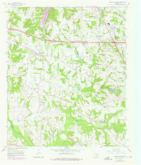
1966 Map of Mount Sylvan
USGS Topo · Published 1975About this map
The Missouri Pacific railroad cuts a diagonal line across the northeastern corner of this landscape, anchoring the settlement at Thedford and the nearby Claypits. This portion of Smith County is characterized by a dense network of rural communities and congregational centers, including Mount Sylvan and New Harmony. Local education and social life are anchored by the Dixie Sch and a series of country churches such as Spring Creek Ch, Fairview Ch, and Mt Olive Ch. The terrain is defined by the winding course of the Neches River along the southwestern border and the tributaries of Prairie Creek and Chinquapin Creek. Early industrial activity is evident through scattered Oil Wells and a Gravel Pit, while the emergence of recreational development is visible at Hide-A-Way Lake in the north.
Find a feature on this map
31 named features on this map. Tap any name to fly to it.
Don’t see what you’re looking for? This feature index may not catch every label — zoom into the map to look around manually.
Map Details
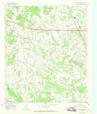
Editions of this 1966 Mount Sylvan Map
2 editions found
Other maps of this area

1948 · Tyler
USGS Topo · 1:62,500

1948 · Brownsboro
USGS Topo · 1:62,500

1949 · Tyler
USGS Topo · 1:62,500

1949 · Brownsboro
USGS Topo · 1:62,500

1956 · Tyler
USGS Topo · 1:250,000

1959 · Van Lake
USGS Topo · 1:24,000

1959 · Grand Saline
USGS Topo · 1:62,500

1960 · Lindale
USGS Topo · 1:24,000

1960 · Crow
USGS Topo · 1:24,000

1966 · Chandler
USGS Topo · 1:24,000