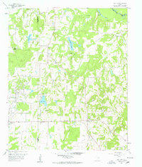
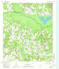
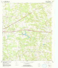
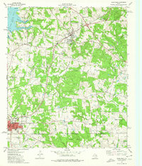
1959 Map of Van Lake
USGS Topo · Published 1960This historical map portrays the area of Van Lake in 1959, primarily covering Smith County as well as portions of Wood County and Van Zandt County. Featuring a scale of 1:24000, this map provides a highly detailed snapshot of the terrain, roads, buildings, counties, and historical landmarks in the Van Lake region at the time. Published in 1960, it is one of 4 known editions of this map due to revisions or reprints.
Find a feature on this map
29 named features on this map. Tap any name to fly to it.
Don’t see what you’re looking for? This feature index may not catch every label — zoom into the map to look around manually.
Map Details
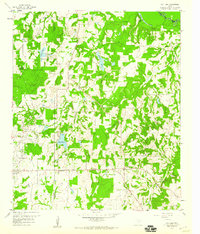
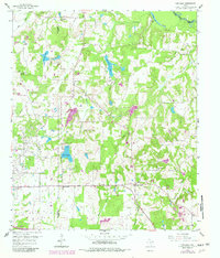
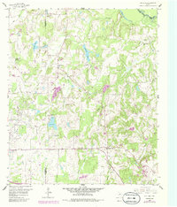
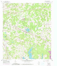
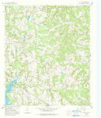
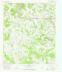
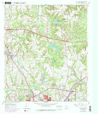
Editions of this 1959 Van Lake Map
4 editions found
Historical Maps of Van Through Time
11 maps found
1959 Van Lake
Smith County, TX
1960 Crow
Smith County, TX
1966 Bascom
Smith County, TX
1966 Hope Pond
Smith County, TX
1966 Mount Sylvan
Smith County, TX
1966 Starrville
Smith County, TX
1966 Tyler North
Smith County, TX
1966 Tyler South
Smith County, TX
1973 Saline Bay
Smith County, TX
1973 Troup East
Smith County, TX
1973 Troup West
Smith County, TX