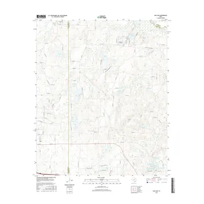
2016 Map of Van Lake
USGS Topo · Published 2016About this map
The city of Van sits at the intersection of local history and modern hydrography in this 2016 survey of East Texas. The landscape is defined by an intricate network of water bodies, notably the World Challenge Lakes and Van Lake, which serve as focal points for residential and recreational development. These reservoirs are fed and connected by several named tributaries including Village Creek, Caney Creek, and Rattlesnake Creek.
Find a feature on this map
104 named features on this map. Tap any name to fly to it.
Don’t see what you’re looking for? This feature index may not catch every label — zoom into the map to look around manually.
Map Details
Editions of this 2016 Van Lake Map
This is the sole edition of this map. No revisions or reprints were ever made.
Other maps of this area

1948 · Tyler
USGS Topo · 1:62,500

1948 · Brownsboro
USGS Topo · 1:62,500

1949 · Tyler
USGS Topo · 1:62,500

1949 · Brownsboro
USGS Topo · 1:62,500

1956 · Tyler
USGS Topo · 1:250,000

1959 · Golden
USGS Topo · 1:24,000

1959 · Grand Saline
USGS Topo · 1:24,000

1959 · Van
USGS Topo · 1:24,000

1959 · Van Lake
USGS Topo · 1:24,000

1959 · Grand Saline
USGS Topo · 1:62,500