Old Maps of Cashion Community, Texas for Hiking & Exploration
Hike through history with 18 historic maps of Cashion Community. Explore old trails, ghost towns, and forgotten backroads — perfect for outdoor adventurers and local explorers.
- Rediscover forgotten places: Map out old mining camps, roads, and footpaths that no longer exist on modern maps.
- Layer with modern tools: Combine with LiDAR or satellite views to plan hikes through historical terrain.
- Made for exploration: Popular among hikers, overlanders, and local history lovers.
Use these maps to find adventure and explore the hidden past of Cashion Community.
Cashion Community, TX maps
(18)- 1915 Map of Burkburnett, 1961 Print
 1915 Burkburnett1961 Print · USGSThe Texas-Oklahoma borderlands south of the Red River are shown here in the mid-1910s as rail and road networks began to reshape the frontier. Researchers can trace the early layout of Burkburnett, the location of the Cashion School, and the route of the Wichita Falls and Northwestern railroad.
 - 1918 Map of Buckburnett
 1918 Buckburnett1918 Print · USGSWichita County sits on the edge of a historic oil boom during the late nineteen-teens, dominated by the winding Red River border. Genealogists and historians can trace early town plats in Burkburnett, rural landmarks like Cashion School, and the path of the Wichita Falls and Northwestern railroad.3 unique versions available
 - 1955 Map of Lawton, 1958 Print
 1955 Lawton1958 Print · USGSSouthwestern Oklahoma and North Texas are shown here in the mid-fifties, dominated by the Wichita Mountains and the vital Red River watershed. Genealogists and historians can trace the foundations of Lawton alongside rural landmarks like Rainy Mountain Church and Pleasant Hill School.5 unique versions available
 - 1957 Map of Burkburnett, 1958 Print
 1957 Burkburnett1958 Print · USGSThe Red River valley in the late fifties was a bustling corridor of oil production and rail transport. Genealogists and historians can trace the foundations of Burkburnett and Grandfield, finding old sites like Clara Ch and the Red River Oil Field.
 - 1957 Map of Randlett, 1958 Print
 1957 Randlett1958 Print · USGSThe Red River borderlands of Oklahoma and Texas come alive in this mid-century survey of the local oil fields and river bottoms. Researchers can trace rural lineages through sites like Randlett Cem, the Linville Sch (Aban'd), and the historical Perkins Reservation.2 unique versions available
 - 1972 Map of Burkburnett, 1975 Print
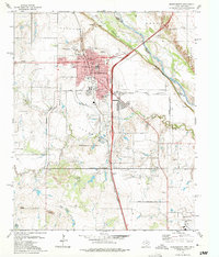 1972 Burkburnett1975 Print · USGSThe oil-rich plains of the Texas-Oklahoma border are captured here in the 1970s as the regional energy and military economy flourished. Researchers can trace the development of Burkburnett, locate old Oil Wells, and find landmarks like Hardin Sch or the Fish Hatchery.3 unique versions available
 - 1972 Map of Thornberry, 1975 Print
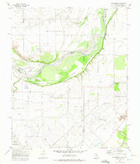 1972 Thornberry1975 Print · USGSThe Texas-Oklahoma borderlands in the early 1970s reveal an landscape defined by heavy industry and military presence. Researchers can trace the extensive Texhoma Oil Field, locate the Cem at Thornberry, or study the boundaries of Perkins Reservation.
 - 1985 Map of Burkburnett, 1986 Print
 1985 Burkburnett1986 Print · USGSThe Red River valley and North Texas oil fields are captured here in the mid-eighties, showing the vital connection between military hubs and rail towns. Researchers can trace the path of the Missouri Kansas Texas railroad through Burkburnett or locate Waurika Lake and Sheppard Air Force Base.2 unique versions available
 - 2010 Map of Burkburnett, 2010 Print
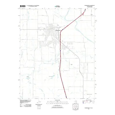 2010 Burkburnett2010 Print · USGSBurkburnett and the Red River valley are shown in detail at the turn of the millennium, documenting a region shaped by petroleum and aviation. Researchers can locate the Texhoma Oil Field, trace the border of Sheppard Air Force Base, or find the Wilkerson Cemetery.
 - 2010 Map of Thornberry, 2010 Print
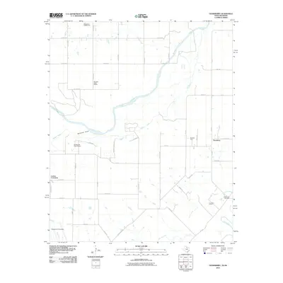 2010 Thornberry2010 Print · USGSNorth Texas and Oklahoma meet along the Red River in the early twenty-first century, where rural communities and military aviation overlap. Trace local heritage through the Thornberry Oil Field, the Cashion Community, and the northern reaches of Sheppard Air Force Base.
 - 2012 Map of Burkburnett, 2012 Print
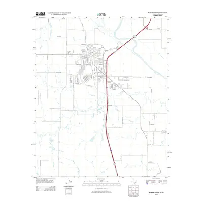 2012 Burkburnett2012 Print · USGSThe Texas-Oklahoma borderlands are captured here in the early twenty-first century, showing the intersection of energy production and rural settlement. Researchers can trace family history at the Wilkerson Cem or locate historical sites within the Cashion Community and the Texhoma Oil Field.
 - 2012 Map of Thornberry, 2012 Print
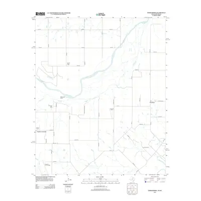 2012 Thornberry2012 Print · USGSThe borderlands of North Texas and Southern Oklahoma are captured here in the early twenty-first century, centered on the winding Red River. Researchers can trace the layout of the Thornberry Oil Field, locate Sheppard Air Force Base, and identify the Cashion Community.
 - 2016 Map of Burkburnett, 2016 Print
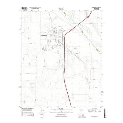 2016 Burkburnett2016 Print · USGSAcross the Texas-Oklahoma border in the late twenty-teens, this area shows the development of Burkburnett along the Red River. Researchers can trace local landmarks like Wilkerson Cemetery or the drainage of Wildhorse Creek and Gilbert Creek.
 - 2016 Map of Thornberry, 2016 Print
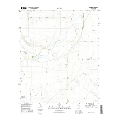 2016 Thornberry2016 Print · USGSThe Red River borderlands of North Texas and Southern Oklahoma are shown here in the mid-2010s. Aviation researchers and genealogists can trace the footprint of Sheppard Air Force Base and find local landmarks like Thornberry and McFarland Island.
 - 2019 Map of Burkburnett, 2019 Print
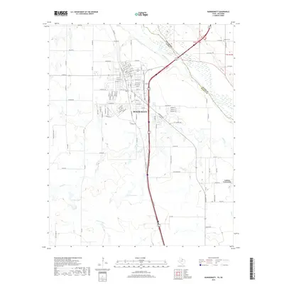 2019 Burkburnett2019 Print · USGSWichita County's borderlands are captured here in the late 2010s as the Red River winds past Burkburnett. Researchers can trace local landmarks like Wilkerson Cem and the rural Cashion Community or locate the waters of Preston Lake.
 - 2019 Map of Thornberry, 2019 Print
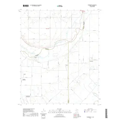 2019 Thornberry2019 Print · USGSThe Red River border between Texas and Oklahoma is captured here in the late 2010s, showing a landscape shaped by river hydrology and aviation. Genealogists and local historians can trace family-named routes and sites like Thornberry, McFarland Spring, and the Cashion Community.
 - 2022 Map of Burkburnett, 2022 Print
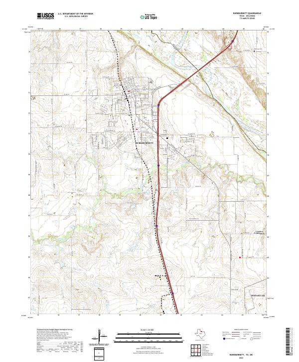 2022 Burkburnett2022 Print · USGSNorth Texas and the Oklahoma borderlands are detailed here in the 2020s, showcasing the urban layout of Burkburnett along the Red River. Researchers can trace local heritage through sites like Cashion Community, Wilkerson Cem, and Preston Lake.
 - 2022 Map of Thornberry, 2022 Print
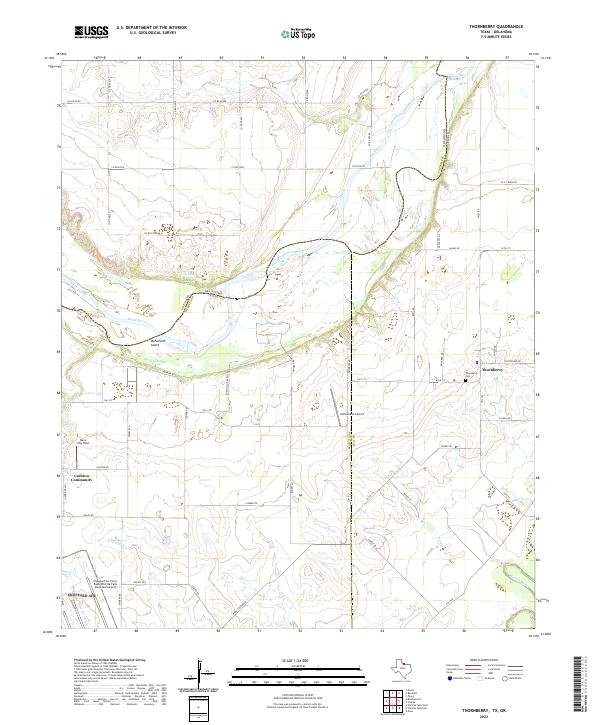 2022 Thornberry2022 Print · USGSThe Texas-Oklahoma borderlands come alive in this study of the Red River valley during the early twenty-first century. Researchers can trace family roots at Thornberry Cem or explore the landscape around the Cashion Community and McFarland Island.
End of results
Showing maps 1-18 of 18
Top cities near Cashion Community
- Wichita Falls historical maps
- Burkburnett historical maps
- Iowa Park historical maps
- Holliday historical maps
- Lakeside City historical maps
- Grandfield historical maps
See more
Frequently asked questions
- What are the different types of historical maps available for Cashion Community?
- What is the oldest map of Cashion Community?
- Where can I purchase historical maps of Cashion Community for my home or office?
- Where can I download high-res historical maps of Cashion Community?
- Are there historical topographic maps available for Cashion Community?
- Is there historical aerial imagery available for Cashion Community?
- Where are historical maps of Cashion Community sourced from?