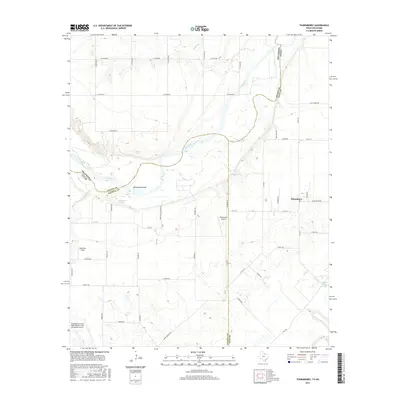
2016 Map of Thornberry
USGS Topo · Published 2016About this map
The Red River defines the winding border between Texas and Oklahoma on this 2016 survey, a landscape where river hydrology and aviation history meet. The northern edge of Sheppard Air Force Base/Wichita Falls Municipal Airport occupies the southwest corner, while smaller runways like Klinkerman Airport and Dave Eby Field are scattered across the ranchlands. These private and municipal airfields reflect the region's wide-open spaces and its importance as a flight training corridor.
Find a feature on this map
58 named features on this map. Tap any name to fly to it.
Don’t see what you’re looking for? This feature index may not catch every label — zoom into the map to look around manually.
Map Details
Editions of this 2016 Thornberry Map
This is the sole edition of this map. No revisions or reprints were ever made.
Other maps of this area

1915 · Burkburnett
USGS Topo · 1:24,000

1918 · Buckburnett
USGS Topo · 1:31,680

1954 · Wichita Falls
USGS Topo · 1:250,000

1955 · Lawton
USGS Topo · 1:250,000

1957 · Wichita Falls West
USGS Topo · 1:24,000

1957 · Burkburnett
USGS Topo · 1:62,500

1957 · Randlett
USGS Topo · 1:62,500

1957 · Wichita Falls East
USGS Topo · 1:62,500

1957 · Wichita Falls East
USGS Topo · 1:24,000

1957 · Wichita Falls West
USGS Topo · 1:62,500