Old Maps of Jarrell, Texas for Hiking & Exploration
Hike through history with 15 historic maps of Jarrell. Explore old trails, ghost towns, and forgotten backroads — perfect for outdoor adventurers and local explorers.
- Rediscover forgotten places: Map out old mining camps, roads, and footpaths that no longer exist on modern maps.
- Layer with modern tools: Combine with LiDAR or satellite views to plan hikes through historical terrain.
- Made for exploration: Popular among hikers, overlanders, and local history lovers.
Use these maps to find adventure and explore the hidden past of Jarrell.
Jarrell, TX maps
(15)- 1893 Map of Georgetown
 1893 Georgetown1893 Print · USGSCentral Texas in the late 1800s was a landscape in flux as rail lines reshaped old frontier settlements. Genealogists can trace the shift from riverside villages like Bagdad and Old Round Rock to new rail hubs such as Leander and Hutto.5 unique versions available
 - 1954 Map of Austin, 1964 Print
 1954 Austin1964 Print · USGSCentral Texas is captured during a period of steady growth as the capital city and its neighboring farm towns began to modernize. Researchers can trace historic rail corridors like the Southern Pacific RR or locate landmarks such as Bergstrom Air Force Base and Pilot Knob.4 unique versions available
 - 1964 Map of Cobbs Cavern, 1966 Print
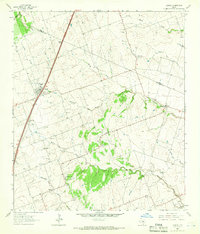
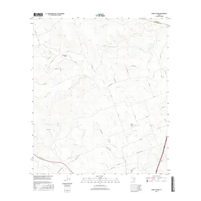
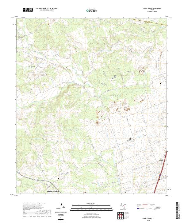
 1964 Cobbs Cavern1966 Print · USGSThe ranching country of Williamson County is captured here in the mid-1960s, showing a landscape defined by limestone springs and family-named creeks. Researchers can locate burial sites like Farmer Cem and geological landmarks like Cobbs Cavern.
 - 1964 Map of Jarrell, 1966 Print
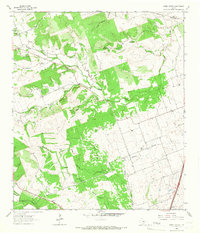
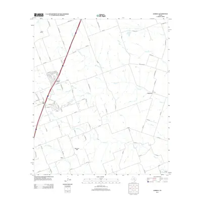
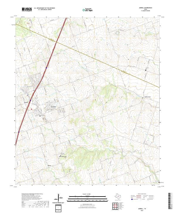
 1964 Jarrell1966 Print · USGSJarrell and the surrounding Williamson County farmland are captured here in the mid-1960s as Interstate 35 began to shape the corridor. Genealogists can locate family landmarks like Corn Hill Cem, Holy Trinity Sch, and the small settlement of Theon.
 - 1985 Map of Taylor, 1986 Print
 1985 Taylor1986 Print · USGSWilliamson and Bell counties in the mid-eighties reveal a landscape where the cattle and cotton economy met burgeoning rail infrastructure. Genealogists and historians can trace the paths of the Missouri Pacific railroad through unique hamlets like Ding Dong, Frame Switch, and Beyersville.2 unique versions available
 - 2010 Map of Jarrell, 2010 Print
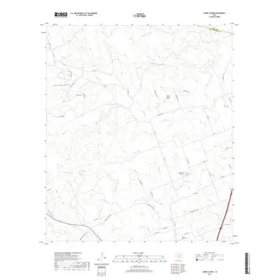
 2010 Jarrell2010 Print · USGSCovers Jarrell, including Schwertner, New Corn Hill, and other nearby areas
 - 2010 Map of Cobbs Cavern, 2010 Print
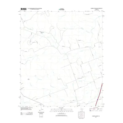
 2010 Cobbs Cavern2010 Print · USGSCovers Jarrell, including Georgetown, Gravis, and other nearby areas
 - 2012 Map of Jarrell, 2012 Print
 2012 Jarrell2012 Print · USGSCovers Jarrell, including Schwertner, New Corn Hill, and other nearby areas
 - 2013 Map of Cobbs Cavern, 2013 Print
 2013 Cobbs Cavern2013 Print · USGSCovers Jarrell, including Georgetown, Gravis, and other nearby areas
 - 2016 Map of Cobbs Cavern, 2016 Print
 2016 Cobbs Cavern2016 Print · USGSCovers Jarrell, including Georgetown, Gravis, and other nearby areas
 - 2016 Map of Jarrell, 2016 Print
 2016 Jarrell2016 Print · USGSCovers Jarrell, including Schwertner, New Corn Hill, and other nearby areas
 - 2019 Map of Jarrell, 2019 Print
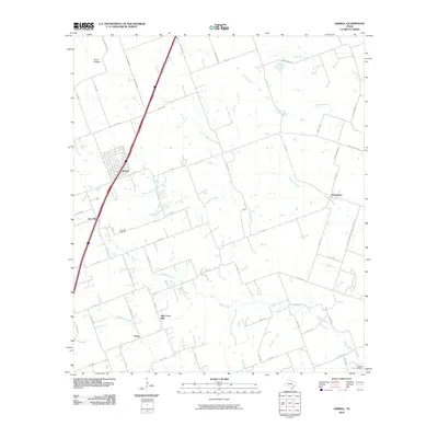
 2019 Jarrell2019 Print · USGSCovers Jarrell, including Schwertner, New Corn Hill, and other nearby areas
 - 2019 Map of Cobbs Cavern, 2019 Print
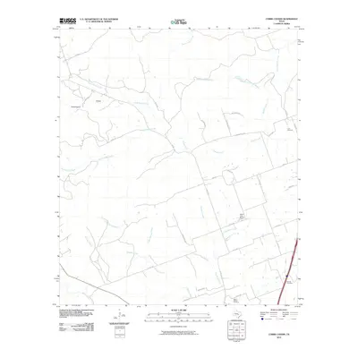
 2019 Cobbs Cavern2019 Print · USGSCovers Jarrell, including Georgetown, Gravis, and other nearby areas
 - 2022 Map of Cobbs Cavern, 2022 Print
 2022 Cobbs Cavern2022 Print · USGSNorth of the capital, the rural landscape between Jarrell and Georgetown was transitioning into a modern suburban network by the early 2020s. Researchers can trace family history at the Sullivan Family Cem or Lawler Cem and locate landmarks like Spears Ranch Airport.
 - 2022 Map of Jarrell, 2022 Print
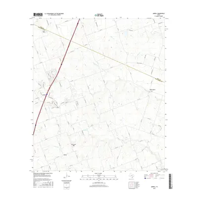
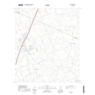
 2022 Jarrell2022 Print · USGSNorth of Georgetown in the early 2020s, this area shows a landscape of traditional Texas farm communities adapting to modern growth. Genealogists can locate family sites near Corn Hill Cem, New Corn Hill, and the outlying Denson Cem.
End of results
Showing maps 1-15 of 15
Top cities near Jarrell
- Killeen historical maps
- Round Rock historical maps
- Temple historical maps
- Georgetown historical maps
- Harker Heights historical maps
- Hutto historical maps
See more
Frequently asked questions
- What are the different types of historical maps available for Jarrell?
- What is the oldest map of Jarrell?
- Where can I purchase historical maps of Jarrell for my home or office?
- Where can I download high-res historical maps of Jarrell?
- Are there historical topographic maps available for Jarrell?
- Is there historical aerial imagery available for Jarrell?
- Where are historical maps of Jarrell sourced from?