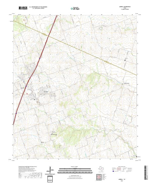
2022 Map of Jarrell
USGS Topo · Published 2022About this map
Jarrell and the surrounding Williamson County countryside are defined by a network of creeks and prairie roads in this early 21st-century record. The landscape is dissected by several significant waterways, including Donahoe Cr, Willis Cr, and Opossum Cr, which drain the undulating terrain. While the modern corridor of I-35 facilitates rapid transit through the region, the map preserves the names of long-established rural communities such as Theon, Schwertner, and New Corn Hill.
Find a feature on this map
105 named features on this map. Tap any name to fly to it.
Don’t see what you’re looking for? This feature index may not catch every label — zoom into the map to look around manually.
Map Details
Editions of this 2022 Jarrell Map
This is the sole edition of this map. No revisions or reprints were ever made.
Other maps of this area

1885 · Taylor
USGS Topo · 1:125,000

1887 · Taylor
USGS Topo · 1:125,000

1893 · Georgetown
USGS Topo · 1:125,000

1894 · Taylor
USGS Topo · 1:125,000

1925 · Georgetown 4-b
USGS Topo · 1:48,000

1928 · Round Rock
USGS Topo · 1:62,500

1949 · Round Rock
USGS Topo · 1:62,500

1951 · Round Rock
USGS Topo · 1:62,500

1954 · Austin
USGS Topo · 1:250,000
1958 · Youngsport
USGS Topo · 1:24,000