Old Maps of La Vernia, Texas for Genealogy
Trace your family roots with 16 historic maps of La Vernia. These high-res maps reveal old neighborhoods, homesites, landmarks, and streets — helping you uncover where your ancestors lived and how the area evolved over time.
- Explore historic neighborhoods: Identify where your relatives may have lived in the 1800s or 1900s.
- Compare maps over time: Trace the changes in streets, buildings, and landmarks for multi-generational research.
- Perfect for genealogy & ancestry research: Used by family historians and researchers to map out lineage and migration.
These maps are an incredible resource for exploring your personal connection to La Vernia's past.
La Vernia, TX maps
(16)- 1954 Map of San Antonio, 1964 Print
 1954 San Antonio1964 Print · USGSSan Antonio and the Texas Hill Country are captured here in the mid-fifties, showing a landscape defined by massive military air bases and the rising Canyon Reservoir. Trace family ties through historic rail towns like D'Hanis and Castroville or explore the Cold War footprint of Lackland AFB and Randolph AFB.3 unique versions available
 - 1957 Map of San Antonio
 1957 San Antonio1957 Print · USGSSan Antonio and the Texas Hill Country are shown here during the mid-fifties, capturing the region's expanding post-war military and transportation footprint. Genealogists and local historians can trace the early residential boundaries of Alamo Heights or locate rural landmarks like St Hedwig and Medina Lake.
 - 1958 Map of La Vernia SW, 1961 Print
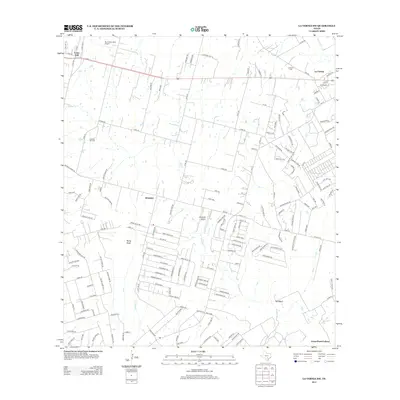
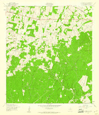 1958 La Vernia SW1961 Print · USGSThe Wilson and Bexar County line in the late fifties was a rural landscape of oil exploration and rail transport. Genealogists and local historians can trace the Cooksey Oil Field, the La Vernia Cem, and the old Grass Pond Colony settlement.2 unique versions available
 - 1962 Map of La Vernia, 1963 Print
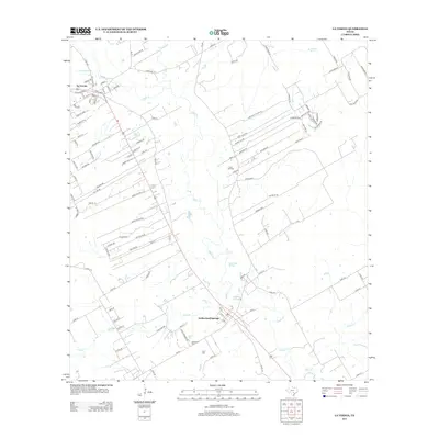
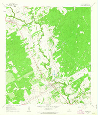 1962 La Vernia1963 Print · USGSThe Wilson and Guadalupe county line comes alive in the early sixties as a center of oil production and rural settlement. Researchers can trace the path of the Old Railroad Grade and locate family landmarks like the Higgins Airstrip or Sulphur Spring.2 unique versions available
 - 1985 Map of San Antonio
 1985 San Antonio1985 Print · USGSSan Antonio and its surrounding hill country are captured in the mid-eighties during a period of significant suburban and military expansion. Genealogists and historians can trace the footprint of Kelly Air Force Base, old rail lines like the Missouri-Kansas-Texas, and smaller communities like Saspamco or Zuehl.3 unique versions available
 - 1992 Map of La Vernia SW
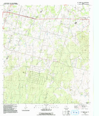 1992 La Vernia SW1992 Print · USGSWilson County and the Bexar border are shown in the early nineties as a landscape defined by oil production and rural life. Researchers can trace family roots at La Vernia Cem or explore industrial history at the Cooksey Oil Field and Old Railroad Grade.
 - 2010 Map of La Vernia SW, 2010 Print
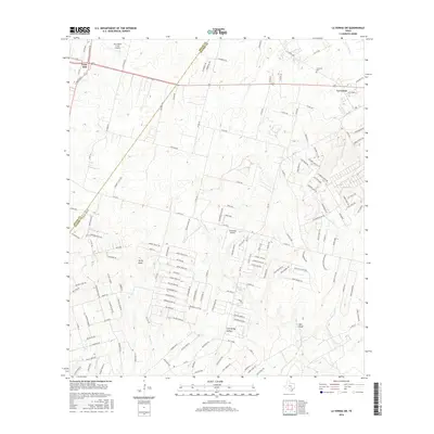
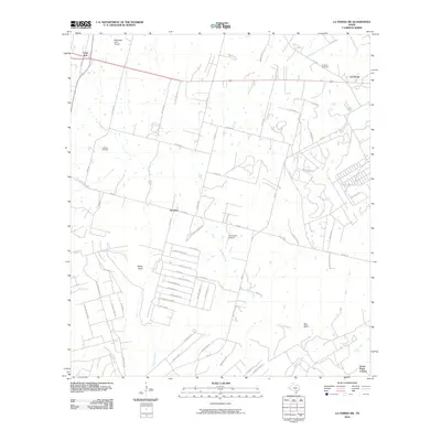 2010 La Vernia SW2010 Print · USGSCovers La Vernia, including Lone Oak, Saint Hedwig, and other nearby areas
 - 2010 Map of La Vernia, 2010 Print
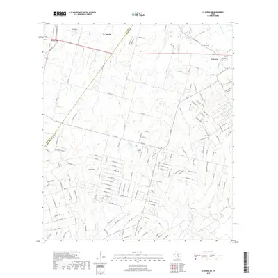
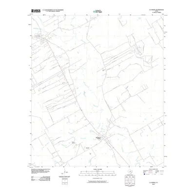 2010 La Vernia2010 Print · USGSCovers La Vernia, including Sutherland Springs, Guadalupe County, and other nearby areas
 - 2013 Map of La Vernia SW, 2013 Print
 2013 La Vernia SW2013 Print · USGSCovers La Vernia, including Lone Oak, Saint Hedwig, and other nearby areas
 - 2013 Map of La Vernia, 2013 Print
 2013 La Vernia2013 Print · USGSCovers La Vernia, including Sutherland Springs, Guadalupe County, and other nearby areas
 - 2016 Map of La Vernia, 2016 Print
 2016 La Vernia2016 Print · USGSCovers La Vernia, including Sutherland Springs, Guadalupe County, and other nearby areas
 - 2016 Map of La Vernia SW, 2016 Print
 2016 La Vernia SW2016 Print · USGSCovers La Vernia, including Lone Oak, Saint Hedwig, and other nearby areas
 - 2019 Map of La Vernia SW, 2019 Print
 2019 La Vernia SW2019 Print · USGSCovers La Vernia, including Lone Oak, Saint Hedwig, and other nearby areas
 - 2019 Map of La Vernia, 2019 Print
 2019 La Vernia2019 Print · USGSCovers La Vernia, including Sutherland Springs, Guadalupe County, and other nearby areas
 - 2022 Map of La Vernia, 2022 Print
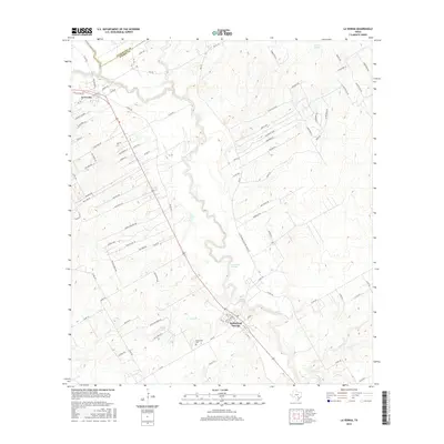
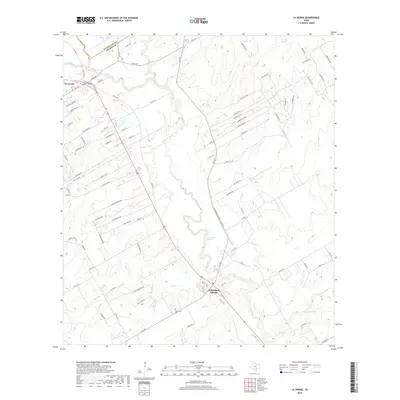
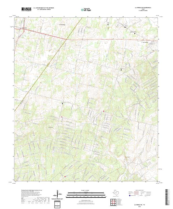
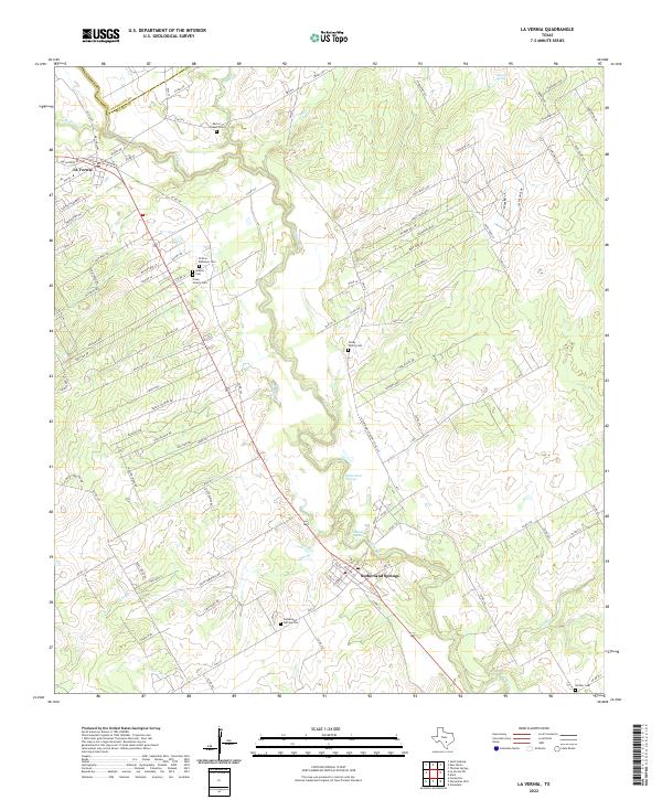 2022 La Vernia2022 Print · USGSThe Wilson and Guadalupe county line comes alive in this contemporary record of the central Texas landscape. Genealogists can trace family heritage through the Polley Family Cem, Cruse Colony Cem, and the waters of Sulphur Spring.
 - 2022 Map of La Vernia SW, 2022 Print
 2022 La Vernia SW2022 Print · USGSBexar and Wilson Counties come into focus during this period of rural Texas growth near the Post Oak Savannah. Genealogists and historians can trace family locations through several burial grounds, including Kicaster Cem, Beall Cem, and Saint Anns Cem.
End of results
Showing maps 1-16 of 16
Top cities near La Vernia
- San Antonio historical maps
- Schertz historical maps
- Seguin historical maps
- Floresville historical maps
- Universal City historical maps
- Converse historical maps
See more
Frequently asked questions
- What are the different types of historical maps available for La Vernia?
- What is the oldest map of La Vernia?
- Where can I purchase historical maps of La Vernia for my home or office?
- Where can I download high-res historical maps of La Vernia?
- Are there historical topographic maps available for La Vernia?
- Is there historical aerial imagery available for La Vernia?
- Where are historical maps of La Vernia sourced from?