Old Maps of Stockdale, Texas for Academic Research
Study the evolution of Stockdale with 10 high-resolution historic maps. Whether you're teaching, researching, or modeling changes in land use, these maps provide essential visual documentation of urban, environmental, and geographic change.
- Analyze long-term change: Track patterns in development, transportation, and natural features.
- Ideal for environmental or urban studies: Support academic projects with primary historical map data.
- Use in the classroom or lab: Educators and researchers rely on these maps to bring historical context to life.
These maps are a powerful tool for teaching, research, and visualizing how Stockdale has changed over the decades.
Stockdale, TX maps
(10)- 1920 Map of Smiley
 1920 Smiley1920 Print · USGSSouth Texas ranching and rail life are preserved here in the era following the first World War. Genealogists can trace family roots through labeled landmarks like Willow Springs Ranch, the Southern Pacific Railroad, and the settlement at Nixon.
 - 1953 Map of Seguin, 1965 Print
 1953 Seguin1965 Print · USGSSouth Texas in the early fifties shows a thriving river-and-rail economy across the Guadalupe and Colorado basins. Genealogists and historians can trace rail routes like the Southern Pacific through Seguin, locate oil wells, or find the Gary AAF near San Marcos.4 unique versions available
 - 1958 Map of Seguin
 1958 Seguin1958 Print · USGSSouth Texas in the late fifties was a network of river-valley settlements and active oilfields tied together by major rail lines. Genealogists and historians can trace family-named sites across Rabb Prairie, locate the Behring Store, or follow the Southern Pacific through Schulenburg.
 - 1961 Map of Stockdale, 1963 Print
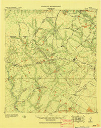
 1961 Stockdale1963 Print · USGSStockdale and the surrounding Wilson County ranch lands are documented here in the early sixties as the regional economy shifted from rail to oil. Researchers can trace family roots at Denhawken, the Dilworth Ranch Sch, and the Denhawken Cem.2 unique versions available
 - 1985 Map of Cuero
 1985 Cuero1985 Print · USGSSouth Texas in the mid-eighties reveals a landscape of river-bottom farms and active petroleum production. Researchers can trace family-named landmarks and rural settlements like Monthalia, Kosciuszko, and the Thomaston Oil Field along the Southern Pacific rail lines.2 unique versions available
 - 2010 Map of Stockdale, 2010 Print
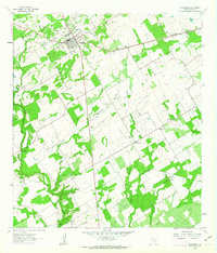
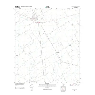
 2010 Stockdale2010 Print · USGSCovers Stockdale, including Plummer Crossing, Gray Crossing, and other nearby areas
 - 2013 Map of Stockdale, 2013 Print
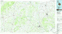
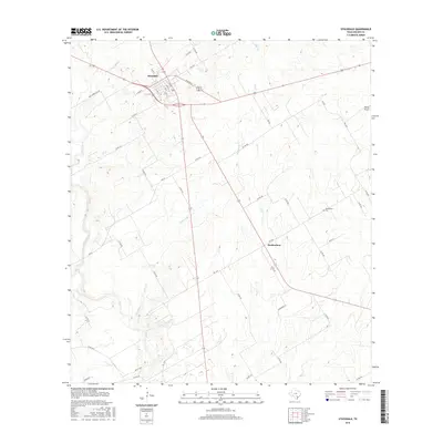
 2013 Stockdale2013 Print · USGSCovers Stockdale, including Plummer Crossing, Gray Crossing, and other nearby areas
 - 2016 Map of Stockdale, 2016 Print
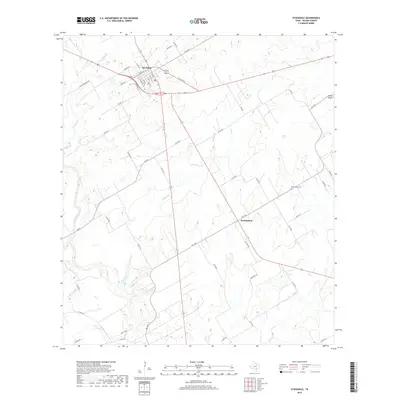
 2016 Stockdale2016 Print · USGSCovers Stockdale, including Plummer Crossing, Gray Crossing, and other nearby areas
 - 2019 Map of Stockdale, 2019 Print
 2019 Stockdale2019 Print · USGSCovers Stockdale, including Plummer Crossing, Gray Crossing, and other nearby areas
 - 2022 Map of Stockdale, 2022 Print
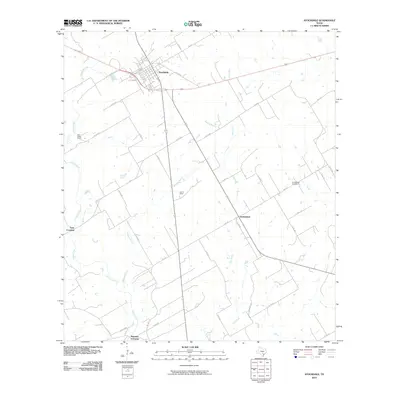
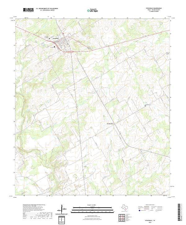 2022 Stockdale2022 Print · USGSStockdale and the surrounding Wilson County ranch lands are documented here in the early twenty-first century. Researchers can trace family history through the Saint Marys Catholic Church Cem, explore the rural settlement of Denhawken, and follow the banks of Cibolo Cr.
End of results
Showing maps 1-10 of 10
Top cities near Stockdale
- Floresville historical maps
- Nixon historical maps
- Poth historical maps
- Saint Hedwig historical maps
- La Vernia historical maps
- New Berlin historical maps
Frequently asked questions
- What are the different types of historical maps available for Stockdale?
- What is the oldest map of Stockdale?
- Where can I purchase historical maps of Stockdale for my home or office?
- Where can I download high-res historical maps of Stockdale?
- Are there historical topographic maps available for Stockdale?
- Is there historical aerial imagery available for Stockdale?
- Where are historical maps of Stockdale sourced from?