2000s (21st Century) Maps of Young County, Texas
Explore 125 historic maps of Young County from the 2000s (21st Century). These maps offer a rare glimpse into what life looked like during the 2000s — showing old roads, neighborhoods, homes, and landmarks that have changed or disappeared over time.
Whether you're researching your family's past, planning a metal detecting trip, or studying how Young County's landscape evolved across the 2000s, these high-resolution maps are a powerful tool for exploring the history of this region.
- Focus on a specific era: All maps on this page are from the 2000s, giving you a focused view of this time period.
- See what’s changed: Compare century-old streets, trails, and buildings to today's modern landscape using overlays and satellite layers.
- Research with precision: Use these maps for genealogy, historical research, land use analysis, or educational projects.
- View, download, or print: Maps are fully viewable online in high resolution, and can be downloaded or printed for your own records.
Start exploring Young County's history through authentic maps from the 2000s. This is your window into the past.
Young County, TX maps
(125)- 2010 Map of Ross Mountain, 2010 Print
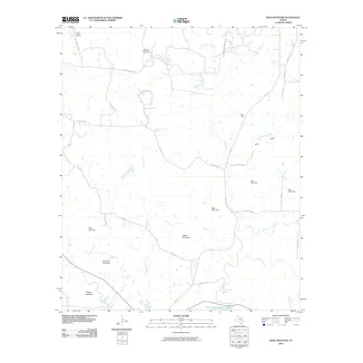 2010 Ross Mountain2010 Print · USGSPalo Pinto County in the early twenty-first century shows a landscape of prominent peaks and the northern reaches of Possum Kingdom Lake. Genealogists and local historians can locate Center Ridge Cemetery or trace family-named routes like Birdwell Rd and Coley Rd near Ross Mountain.
 - 2010 Map of Bobcat Bluff, 2010 Print
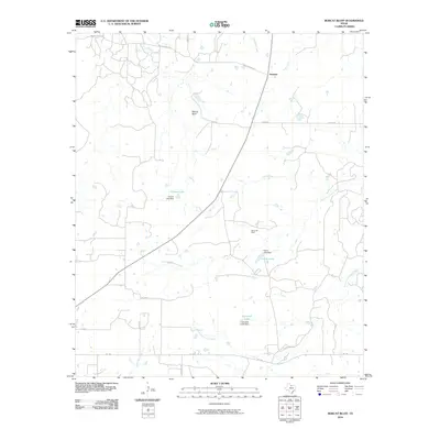 2010 Bobcat Bluff2010 Print · USGSArcher County ranching and energy land comes into focus in this early 2010s survey of the Trinity River headwaters. Trace the local geography of the Olney Oil Field or locate family-named rural landmarks like Faver Rd and the settlement at Anarene.
 - 2010 Map of Darnell Branch, 2010 Print
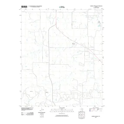 2010 Darnell Branch2010 Print · USGSYoung County's oil and ranching country comes into focus in this early twenty-first-century survey of the north Texas plains. Researchers can trace local energy history at the Prideaux Oil Field or navigate the terrain using landmarks like Gap Mountain and Spy Knob.
 - 2010 Map of Costello Island, 2010 Print
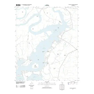 2010 Costello Island2010 Print · USGSPalo Pinto County's Brazos River valley is shown here just after the first decade of the new millennium, centered on the expansive waters of Possum Kingdom Lake. Researchers can trace local history at McAdams Cemetery or locate landmarks like Costello Island and McAdams Peak.
 - 2010 Map of True, 2010 Print
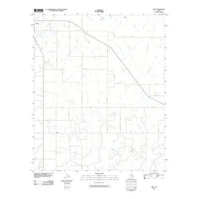 2010 True2010 Print · USGSYoung County at the start of the decade reveals a classic North Texas landscape of scattered settlements and oil production. Researchers can trace rural property boundaries and family-named routes like Taack Rd near the community of True or the Benson Oil Field.
 - 2010 Map of Murray, 2010 Print
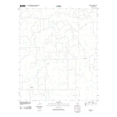 2010 Murray2010 Print · USGSThis rural portion of Young County is documented during the early 2000s, showing a landscape defined by ranching roads and creek drainages. Genealogists and researchers can trace local landmarks like Matthews Hill, the settlement of Murray, and the remote Coffee Flat.
 - 2010 Map of Graham, 2010 Print
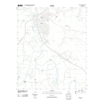 2010 Graham2010 Print · USGSYoung County's ranching and river landscape is documented here in the early twenty-first century, centered on the city of Graham. Genealogists can trace family roots at Pioneer Cemetery and Gooseneck Cemetery, or locate the historic Old Caseyville Crossing on the Brazos River.
 - 2010 Map of Loving, 2010 Print
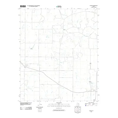 2010 Loving2010 Print · USGSYoung County's rural ranchlands are documented here in the early twenty-first century, showing the enduring structure of small North Texas communities. Genealogists and local historians can trace family-named routes and resting places like Hawkins Chapel Cemetery, Jean, and Farmer.
 - 2010 Map of Olney, 2010 Print
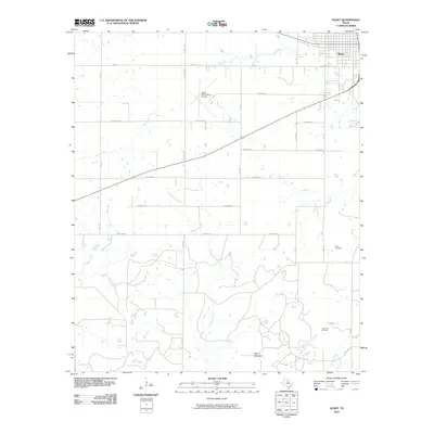 2010 Olney2010 Print · USGSYoung County in the early twenty-first century reveals a landscape of cattle ranching, oil production, and quiet country roads. Researchers can locate family landmarks like the Orth Cemetery, the Larimore Oil Field, and prominent terrain like Skid Mountain.
 - 2010 Map of Cove Creek, 2010 Print
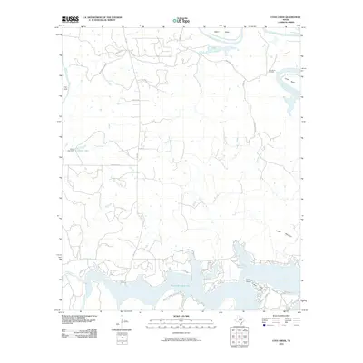 2010 Cove Creek2010 Print · USGSPalo Pinto County at the start of the decade shows a landscape defined by the winding Brazos River and the recreational waters of Possum Kingdom Lake. Local historians can trace family sites near Ming Bend Cemetery or explore the shoreline developments around Sandy Beach and Possum Kingdom State Park.
 - 2010 Map of Ivan North, 2010 Print
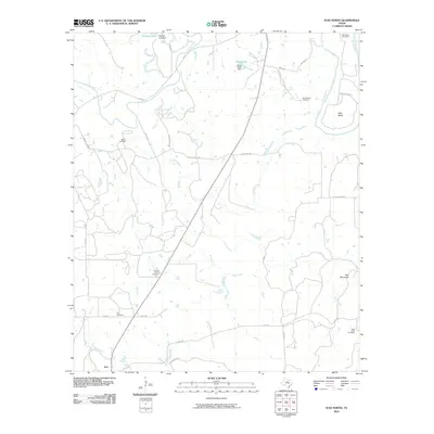 2010 Ivan North2010 Print · USGSYoung County's river-carved landscape is documented here in the early twenty-first century, centered on the Ivan community. Genealogists can locate several historic burial grounds including South Bend Cemetery and the remote Hill Cemetery.
 - 2010 Map of Prickly Pear Branch, 2010 Print
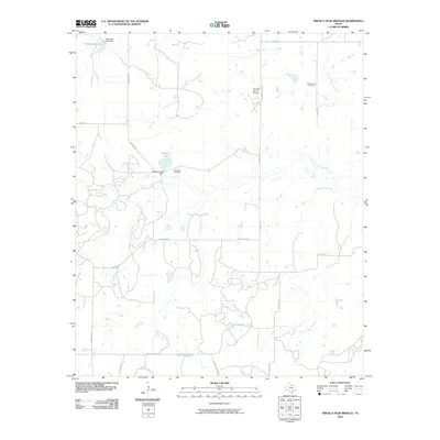 2010 Prickly Pear Branch2010 Print · USGSThis Young County landscape shows the convergence of the Trinity River forks during the early twenty-first century. Genealogists and land historians can trace the West Fork Cemetery and the industrial footprint of the Burns-Jones Oil Field.
 - 2010 Map of Proffitt, 2010 Print
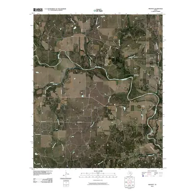 2010 Proffitt2010 Print · USGSYoung County's ranching and river country is captured here in the early twenty-first century as the Brazos River carves through the plains. Researchers can locate family heritage sites at Proffitt Cemetery or trace geographic landmarks like Deer Head Bluff.
 - 2010 Map of Lake Olney, 2010 Print
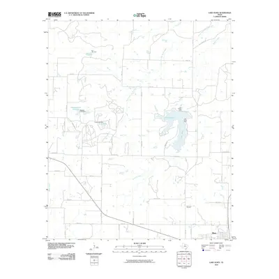 2010 Lake Olney2010 Print · USGSOlney and the surrounding ranchlands are documented here during the first decade of the new millennium. Researchers can trace family sites near Saint Luke Cemetery or locate the extensive system of rural reservoirs including Lake Olney and Lake Cooper.
 - 2010 Map of Tackett Mountain, 2010 Print
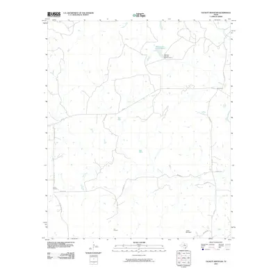 2010 Tackett Mountain2010 Print · USGSYoung County's ranching and river landscape is captured here in the early twenty-first century, showing the rural communities west of the Brazos. Researchers can locate family burial sites at Murray Cemetery and Tyra Cemetery or trace the drainage of Fish Creek.
 - 2010 Map of Padgett, 2010 Print
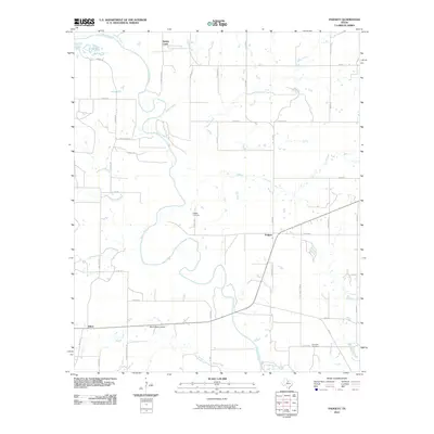 2010 Padgett2010 Print · USGSThrockmorton County is captured in the early 2000s, showing a landscape defined by the winding Brazos River and isolated ranching communities. Genealogists can locate family sites near Padgett Cemetery, Reynolds Cemetery, and the historic settlements of Padgett and Elbert.
 - 2010 Map of Megargel, 2010 Print
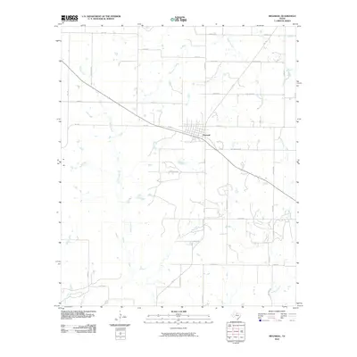 2010 Megargel2010 Print · USGSThe community of Megargel sits at the heart of this North Texas prairie during the early twenty-first century. Genealogists and local historians can trace family land via roads like Pastusek Rd and Matus Rd along the banks of Kickapoo Creek.
 - 2010 Map of Proffitt Crossing, 2010 Print
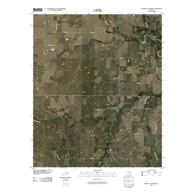 2010 Proffitt Crossing2010 Print · USGSYoung County's ranching country is mapped here in the early twenty-first century, centered on the Brazos River corridor. Genealogists and local historians can trace family land via routes like Elbert Cemetery Rd, Mexican Spring Rd, and the namesake Proffitt Crossing.
 - 2010 Map of Crystal Falls, 2010 Print
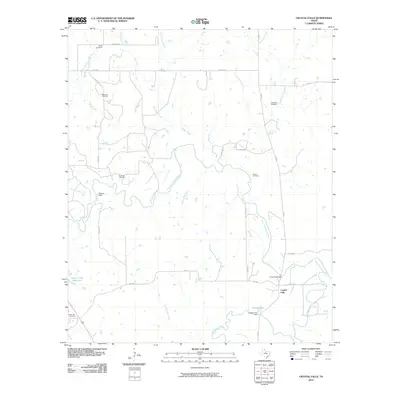 2010 Crystal Falls2010 Print · USGSThe Clear Fork Brazos River valley in North Texas is captured here in the early twenty-first century, centered on the historic settlement of Crystal Falls. Researchers can trace local lineage through several family burial grounds including Smith Cemetery, Hurford Cemetery, and Snake Den Cemetery.
 - 2010 Map of Eliasville, 2010 Print
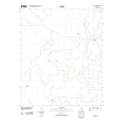 2010 Eliasville2010 Print · USGSNorth Texas ranch lands meet the winding Clear Fork Brazos River in the first decade of the 2000s. Genealogists and local historians can trace family sites at Donnell Cemetery and Yellow Fork Cemetery or locate the Hill Oil Field.
 - 2010 Map of Newcastle, 2010 Print
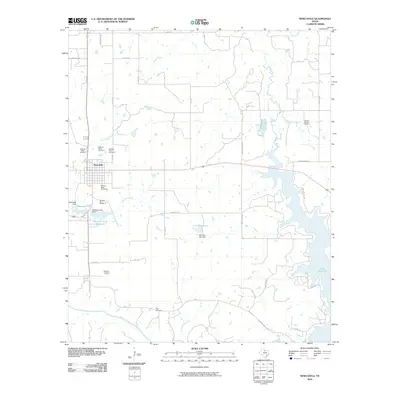 2010 Newcastle2010 Print · USGSNewcastle and its surrounding coal-mining district are captured here in the early twenty-first century, showing a landscape defined by industry and water. Researchers can trace the numbered operations of the Belknap Mine Number 1 and visit local burial sites like Indian Mound Cemetery or Belknap Cemetery.
 - 2010 Map of Lake Eddleman, 2010 Print
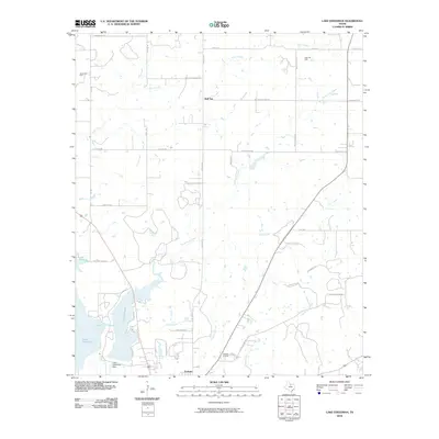 2010 Lake Eddleman2010 Print · USGSThe shorelines of Lake Graham and Lake Eddleman define the landscape north of Graham in this early twenty-first-century survey. Local researchers can trace energy production sites like the James Oil Field or locate properties along Red Top Cemetary Rd.
 - 2010 Map of South Bend, 2010 Print
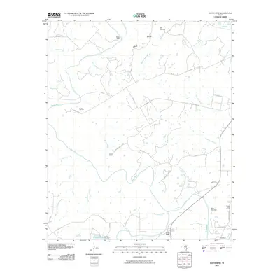 2010 South Bend2010 Print · USGSThe Brazos River and Clear Fork converge at South Bend in this 2010 survey of Young County. Genealogists and researchers can locate Medlan Cemetery, Brooks Cemetery, and aviation landmarks like Rosser Ranch Airport.
 - 2010 Map of Markley, 2010 Print
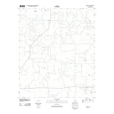 2010 Markley2010 Print · USGSYoung County's ranching and oil country is captured here during the early 2000s. Genealogists and local researchers can trace the roads around Markley and Jermyn, or locate family sites near Graceland Cemetery and the Wilton Oil Field.
 - 2010 Map of Bryson, 2010 Print
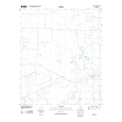 2010 Bryson2010 Print · USGSJack County ranch lands and oil fields are captured here during the early twenty-first century. Genealogists and historians can trace local family landmarks and burial sites like Rock Creek Cemetery, the Knox Oil Field, and the shorelines of McCloud Lake.
Showing maps 1-25 of 125
Top cities of Young County
Frequently asked questions
- What are the different types of historical maps available for Young County?
- What is the oldest map of Young County?
- Where can I purchase historical maps of Young County for my home or office?
- Where can I download high-res historical maps of Young County?
- Are there historical topographic maps available for Young County?
- Is there historical aerial imagery available for Young County?
- Where are historical maps of Young County sourced from?